

Collection
Pacific Coast, USA
By · 36 photos
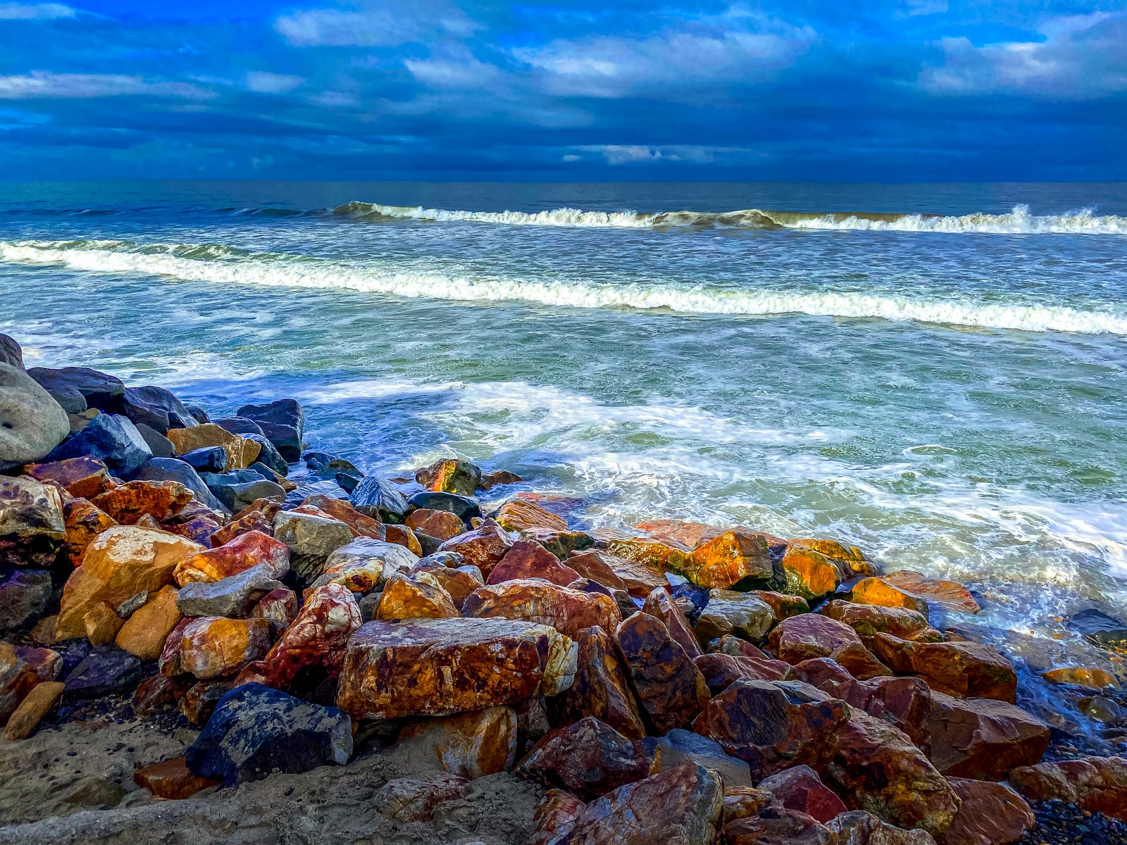
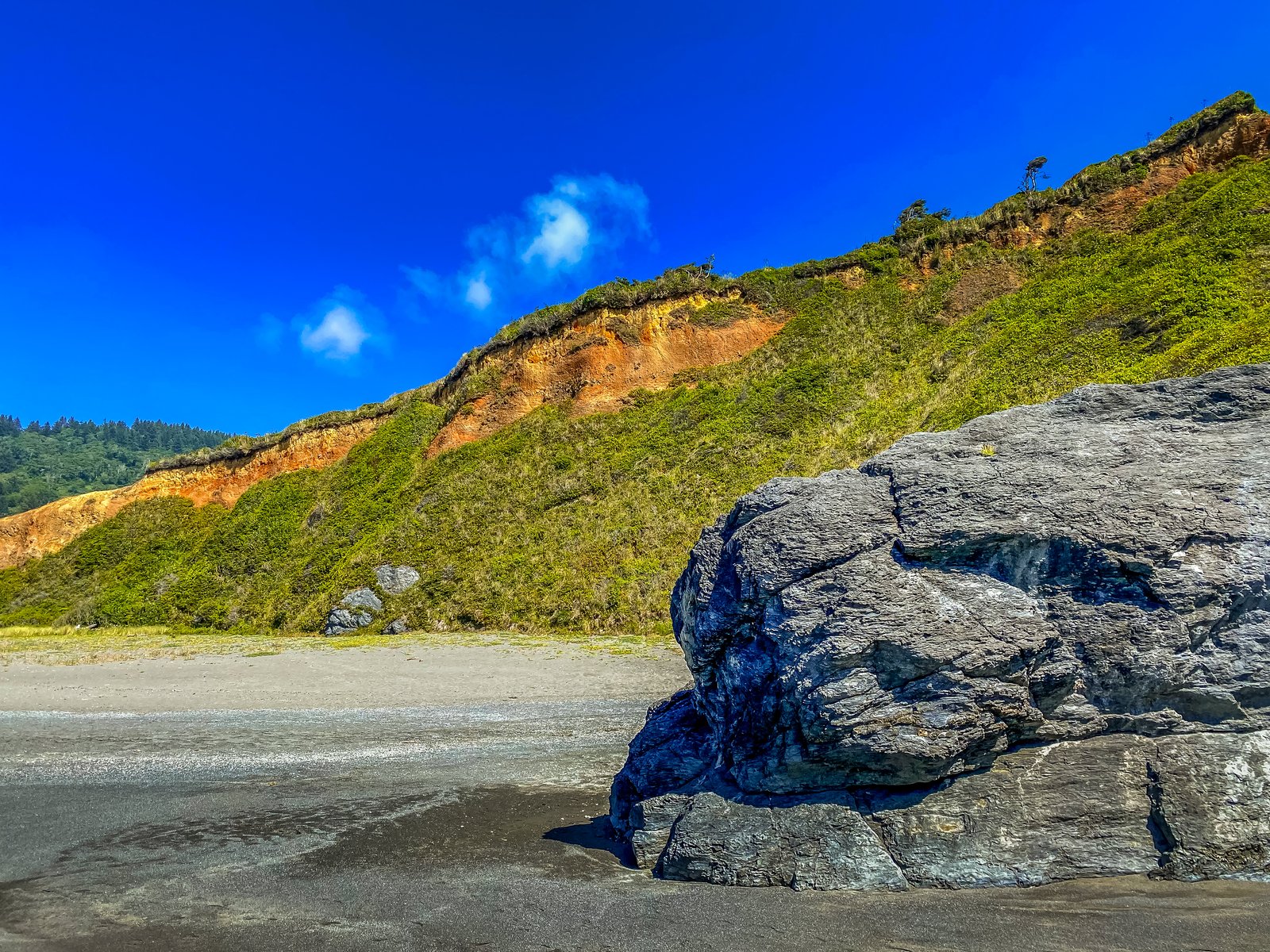
Humbolt Lagoon State Park CA
Humboldt County, California
A large dark boulder anchors the open beach at Humboldt Lagoons State Park in Humboldt County, California, below a steep coastal bluff whose face shows a band of rust-colored soil beneath wind-sheared scrub and a lone conifer. Key Features: The Lagoon System: The park is part of the largest lagoon system in the United States, shaped by the meeting of two tectonic plates. The Bluffs: Layers of orange sediment cut through the green-topped bluff, the mark of steady erosion along this stretch of the Redwood Coast. The Shore: Dark sea rocks rise from the sand where the bluffs meet the beach.
Prints from $22Downloads from $19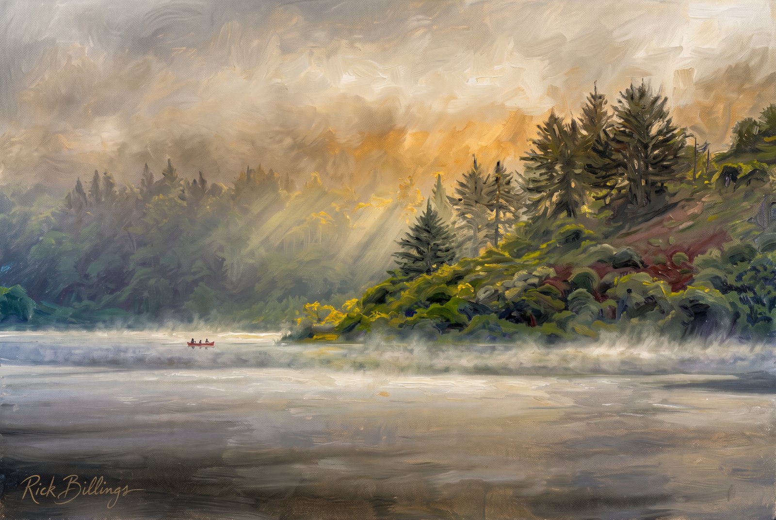 Painterly
Humboldt Lagoon California
Morning fog drifts off the Pacific over a lagoon in Humboldt Lagoons State Park on California's redwood coast, as a canoe glides along the misty shore and sunlight filters through low cloud onto a hillside of redwood and spruce. Key Features: The Lagoons: Shallow coastal lagoons, cut off from the Pacific by narrow strips of sand, make up the largest lagoon system in the United States. The Setting: Forty miles north of Eureka, coast redwood, spruce and fir crowd the hills above the water. Native Heritage: The Yurok people have lived along this coast for generations, traveling between villages in canoes hollowed from redwood logs. The Fog: Mist off the Pacific keeps the climate cool and moist, often burning off by midday to reveal the forested hills.
Prints from $41Prints only Impressionist
Beach Rock
A single weathered stone rests on fine, sun-warmed sand, its cool blue-gray surface sharp against the golden grains around it, the raking light bringing out its fractured, crystalline texture. Key Features: The Color: Cool blue rock against warm gold sand. The Texture: Sharp facets and mineral veins show years of weathering. The Composition: Tight, simple framing turns an ordinary beach find into a study of color and form.
Prints from $41Prints only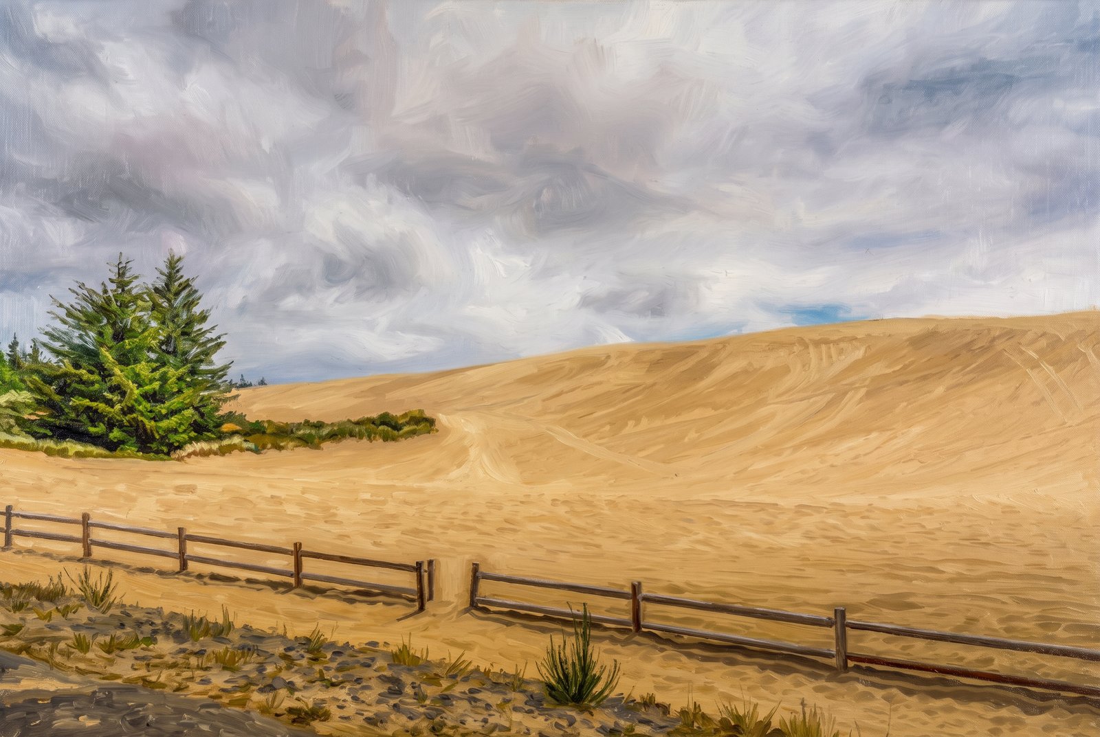 Painterly
Oregon Dunes
A great wave of pale sand rises against a heavy, cloud-filled sky in the Oregon Dunes National Recreation Area, with dark conifers clinging to its edge and a simple log fence marking the trailhead where forest gives way to open sand. Key Features: The Scale: The Oregon Dunes are one of the largest stretches of temperate coastal sand dunes in the world. The Setting: They run for 40 miles along the coast between Florence and Coos Bay, with wind-sculpted peaks nearly 500 feet above the shore. The Landscape Mix: Sand, lakes and forest within one recreation area shelter rare and varied plants and wildlife. The Ongoing Change: Spreading vegetation is slowly claiming the open sand, one of the Forest Service's biggest challenges here.
Prints from $41Prints only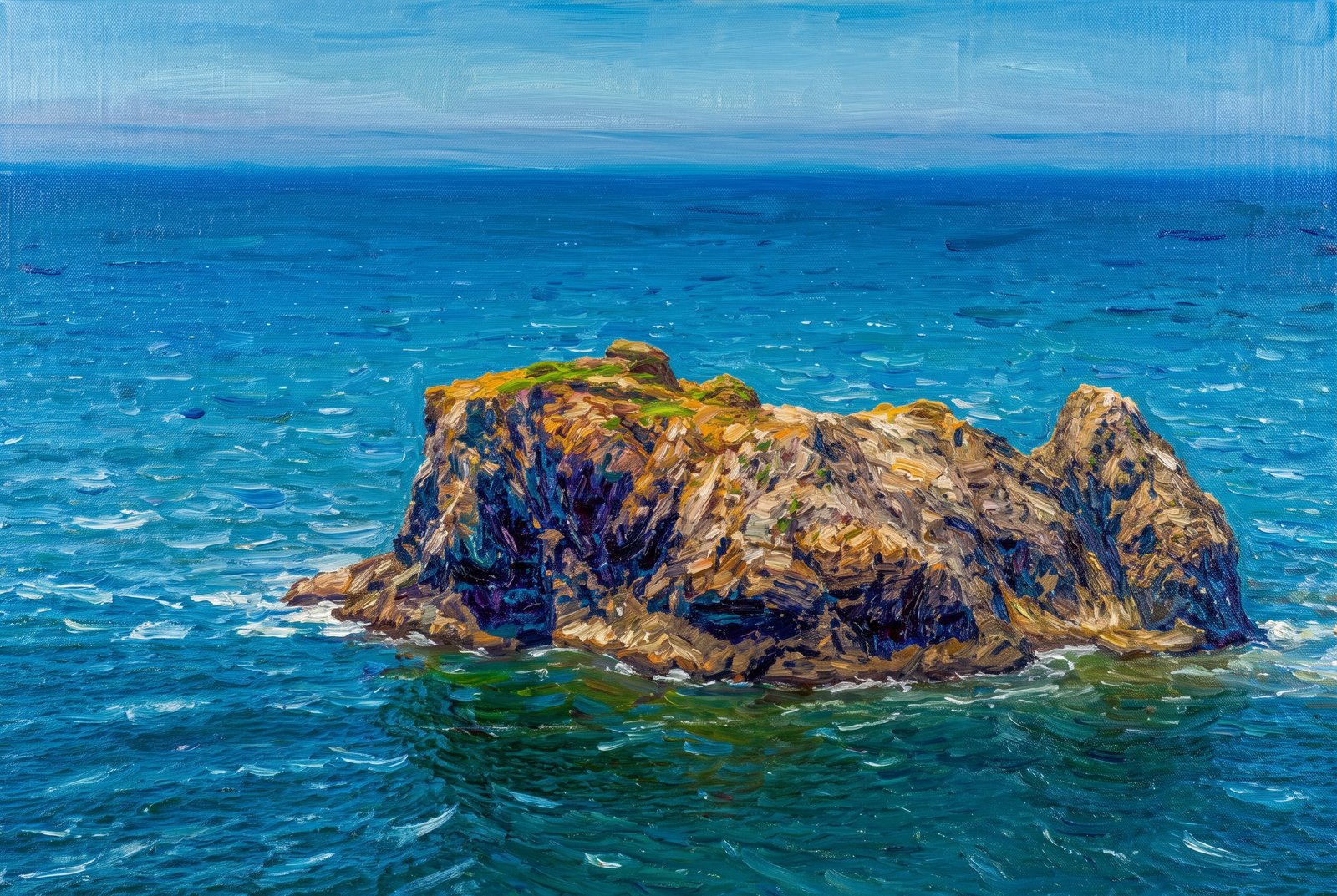 Impressionist
Frog Rock Oregon Coast
From a high coastal bluff on the Oregon coast, a lone sea stack rises from the deep blue Pacific, its weathered basalt streaked with rust-colored lichen and capped with wind-pruned grass. Waves break white at its base, where teal shallows give way to deep indigo offshore. Its low, humped silhouette earned it the name Frog Rock. Key Features: Sea Stacks: Oregon's sea stacks are what remains of ancient lava flows and headlands, left standing offshore as wind and waves wore away the softer rock around them. Coastal Habitat: Nearly every rock off Oregon's coast is part of the Oregon Islands National Wildlife Refuge, with nesting ledges for seabirds and tide pools at their base for sea stars and anemones. Naming Tradition: Many rocks on the Oregon coast carry playful nicknames inspired by their shapes, like this one's frog-like profile.
Prints from $41Prints only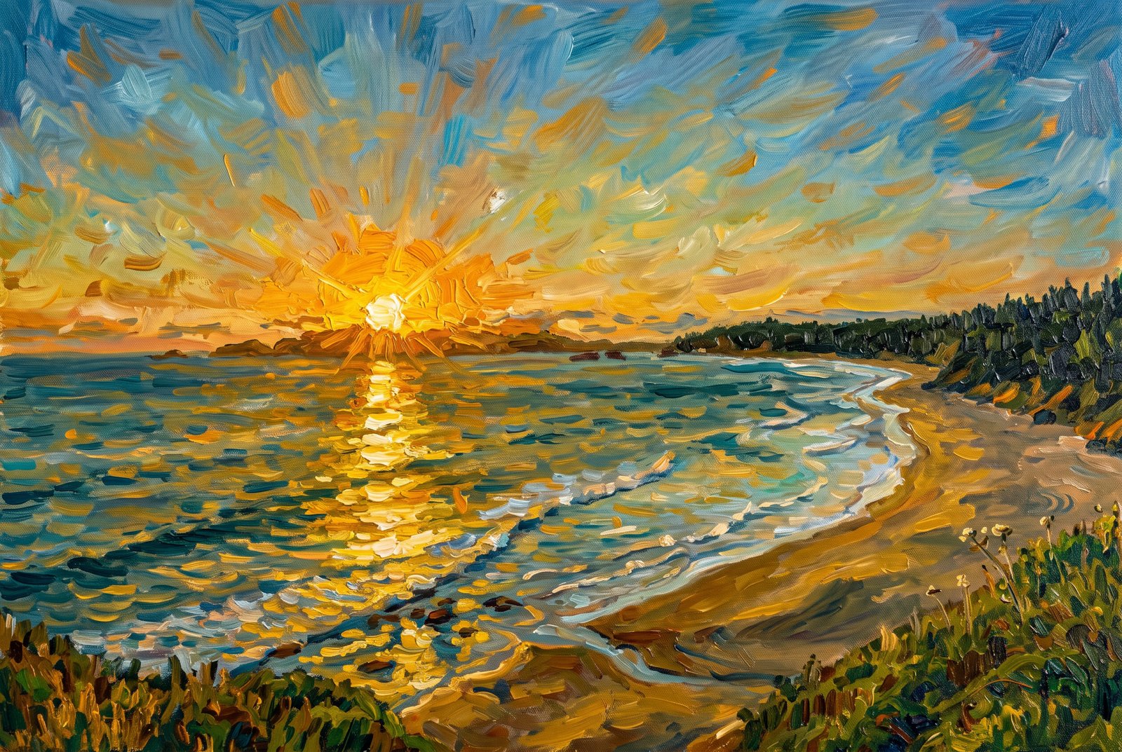 Impressionist
Oregon Coast Sunset
The sun sinks into the Pacific beyond Crescent Beach, seen from the cliffs of Ecola State Park on Oregon's north coast, as the curving shoreline, offshore sea stacks and the forested slopes of Tillamook Head catch its light on wet sand and breaking waves. Key Features: The View: From the cliffs above Crescent Beach, a secluded cove between Tillamook Head and Cannon Beach, the coast runs south toward Cannon Beach. Historic Ground: In 1806 Captain William Clark of the Lewis and Clark Expedition surveyed this coast from Tillamook Head and called it one of the finest views he had seen. The Sea Stacks: The offshore rocks belong to the same chain as Haystack Rock, Cannon Beach's famous landmark. The Park: Ecola State Park protects rugged, forested headlands and beaches on Oregon's north coast.
Prints from $41Prints only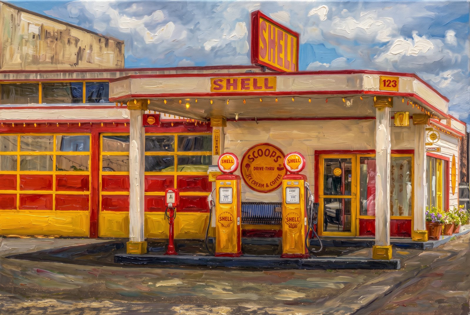 Painterly
Shell Aberdeen Washington
Scoops, a restored vintage Shell filling station in Aberdeen, Washington, faces the camera straight on across its forecourt, in classic yellow and red with twin globe-topped Shell pumps and a hand-painted sign offering ice cream and coffee where fuel was once sold. Key Features: The Building: A former roadside Shell station kept in its original 1930s-era paint and signage. The Transformation: The garage bays and pump island now house a working ice cream and coffee shop. The Setting: Aberdeen is a working timber town in the Grays Harbor region of coastal Washington, on Highway 12. The Appeal: Its period details, from the lighted Shell sign to the original pumps, make it a favorite stop for travelers and photographers.
Prints from $41Prints only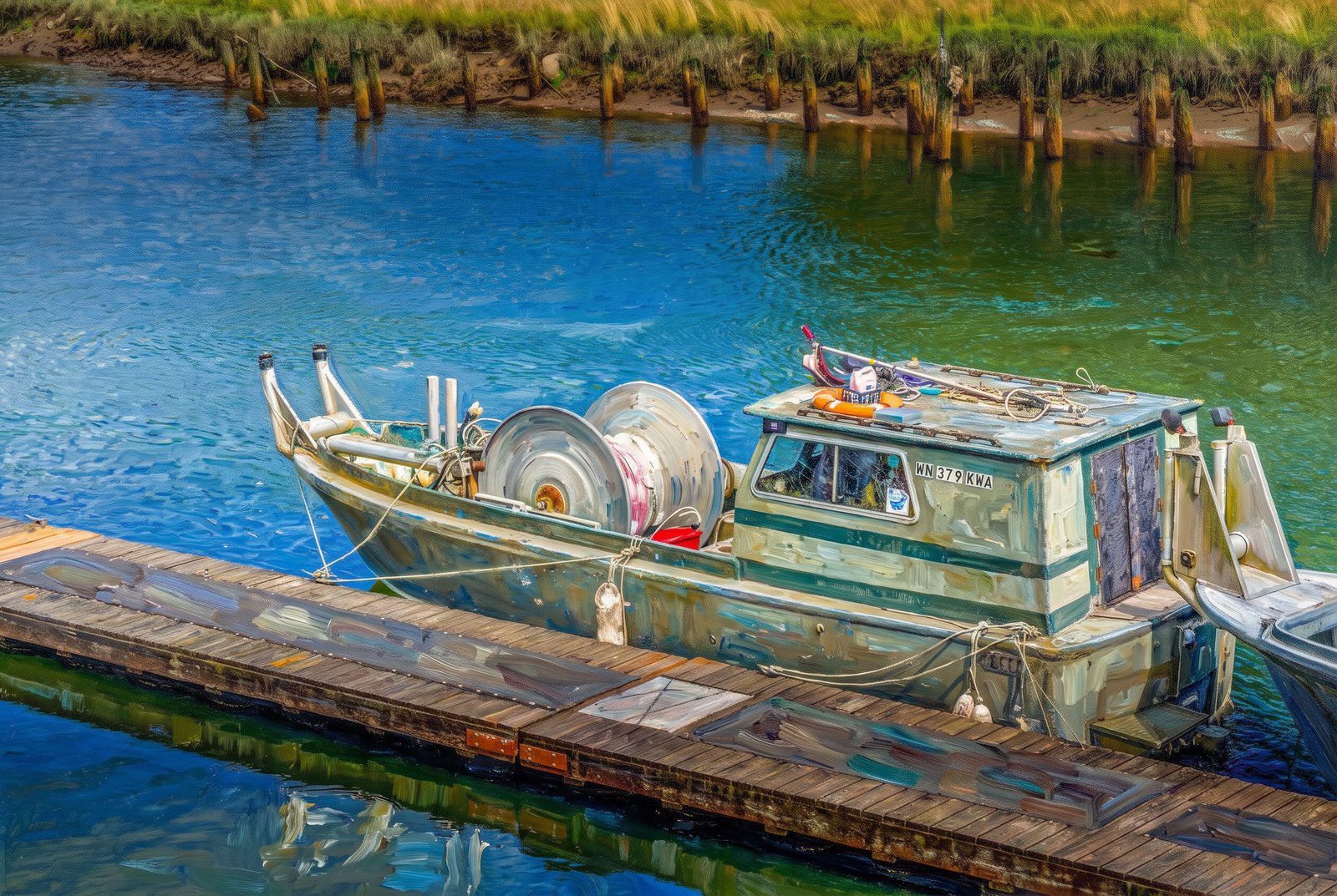 Painterly
Time To Fish
A small aluminum gillnet boat sits tied to a wooden floating dock in a quiet tidal channel, seen from above, its Washington registration numbers on the bow and coiled net line on its big bow reel, with weathered pilings and golden marsh grass along the muddy banks beyond. Key Features: The Boat: A bowpicker gillnetter, built to haul salmon nets over the bow on a mounted drum reel. The Registration: The WN prefix on the hull marks a boat registered in Washington State. The Setting: Tidal sloughs with old pilings and marsh grass are home water for Washington's estuary fishing communities. The Fishery: Boats like this work the region's commercial gillnet salmon runs of Chinook, coho and chum.
Prints from $41Prints only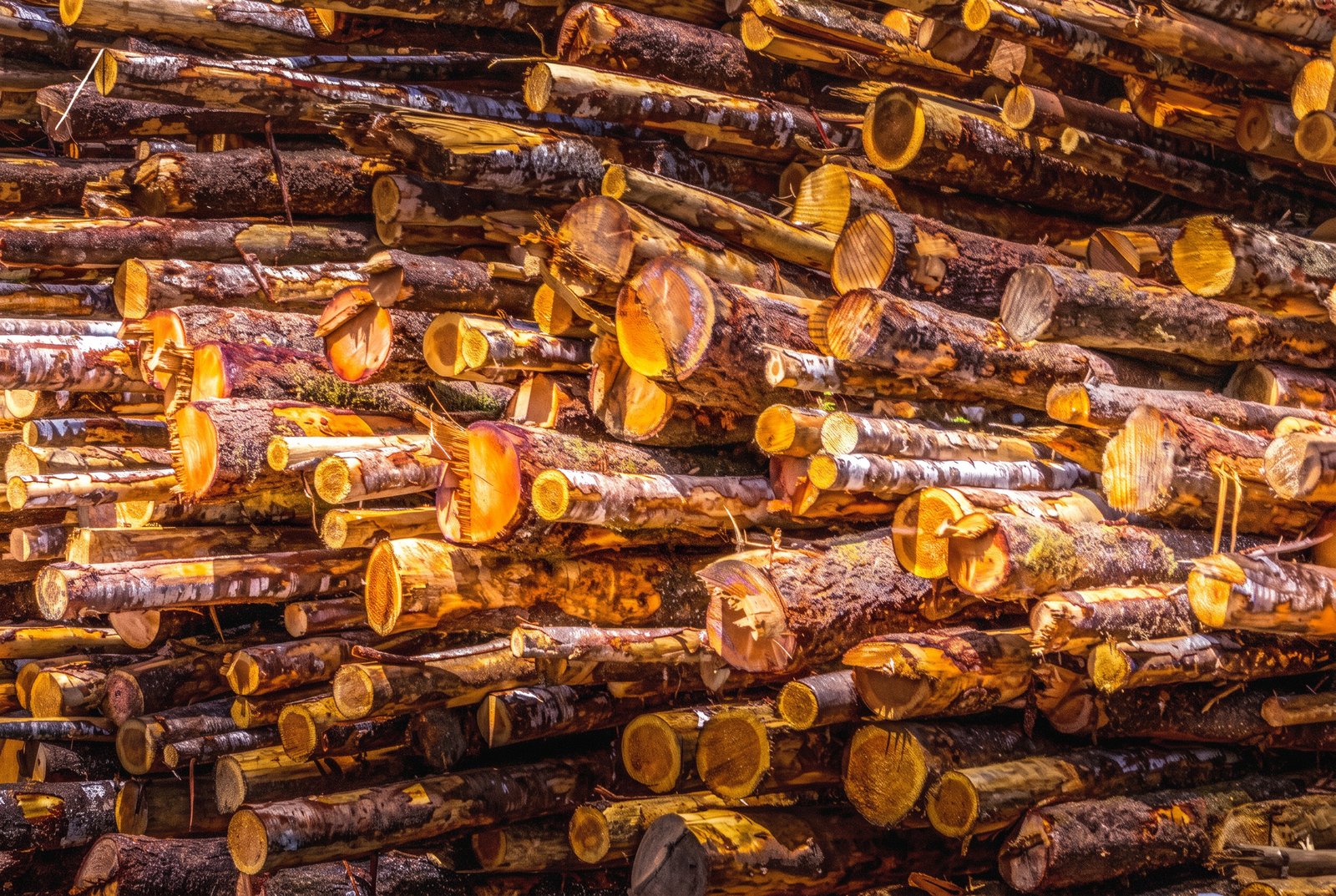 Watercolor
Stacks Aberdeen WA
Row upon row of raw log ends fill the frame at a mill yard in Aberdeen, Washington, at the mouth of the Chehalis River on Grays Harbor, their sawn faces glowing amber and gold in low sunlight, streaked with bark and moisture. Key Features: The Timber Town: Aberdeen's mills processed huge logs cut from the old-growth forests of Grays Harbor County. Industrial Peak: By the mid-1920s, the county's mills were shipping a billion board feet of lumber a year. The Workforce: The mills drew a large workforce of millworkers and loggers to the town and the forests around it. The Composition: Tight framing turns the stacked timber into an abstract pattern of circles and diagonals.
Prints from $41Prints only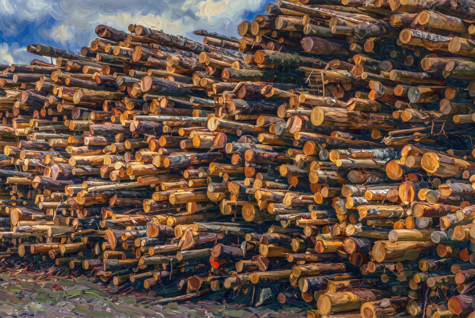 Impressionist
Stacks Aberdeen WA
Towering stacks of freshly cut logs wait for the mill in a timber yard in Aberdeen, Washington, on Grays Harbor, seen close at ground level with hundreds of trunks layered against a bright blue sky, their pale cut ends and bark catching the sun. Key Features: The Region: Forests and port access made Aberdeen a center of the Pacific Northwest timber trade. A Historic Title: In 1924 Aberdeen shipped its billionth foot of timber, earning the title "Lumber Capital of the World." Industrial Scale: Weyerhaeuser opened its first Aberdeen mill in 1924, one of many that shaped the town's economy. Changing Times: By the 1970s most of the old timber had been logged, and most of the mills closed through the 1970s and 1980s.
Prints from $41Prints only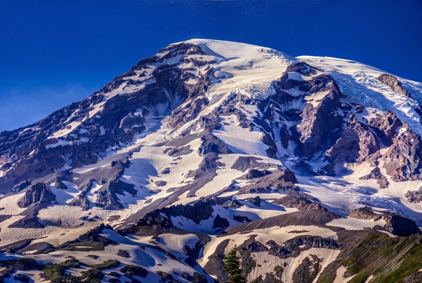 Watercolor
Mt Rainier WA
The glaciated upper slopes of Mount Rainier fill the frame under a deep blue sky, streaks of andesite rock cutting through the ice and showing the layered volcano beneath its permanent snowcap. Key Features: The Volcano: Mount Rainier is a stratovolcano rising to 14,410 feet, the highest peak in the Cascade Range. The Ice: It carries more glacial ice than any other Cascade volcano, with twenty-six glaciers feeding rivers to Puget Sound and the Columbia. The Setting: Mount Rainier National Park, where the mountain rises nearly ten thousand feet above the valley floors around it.
Prints from $41Prints only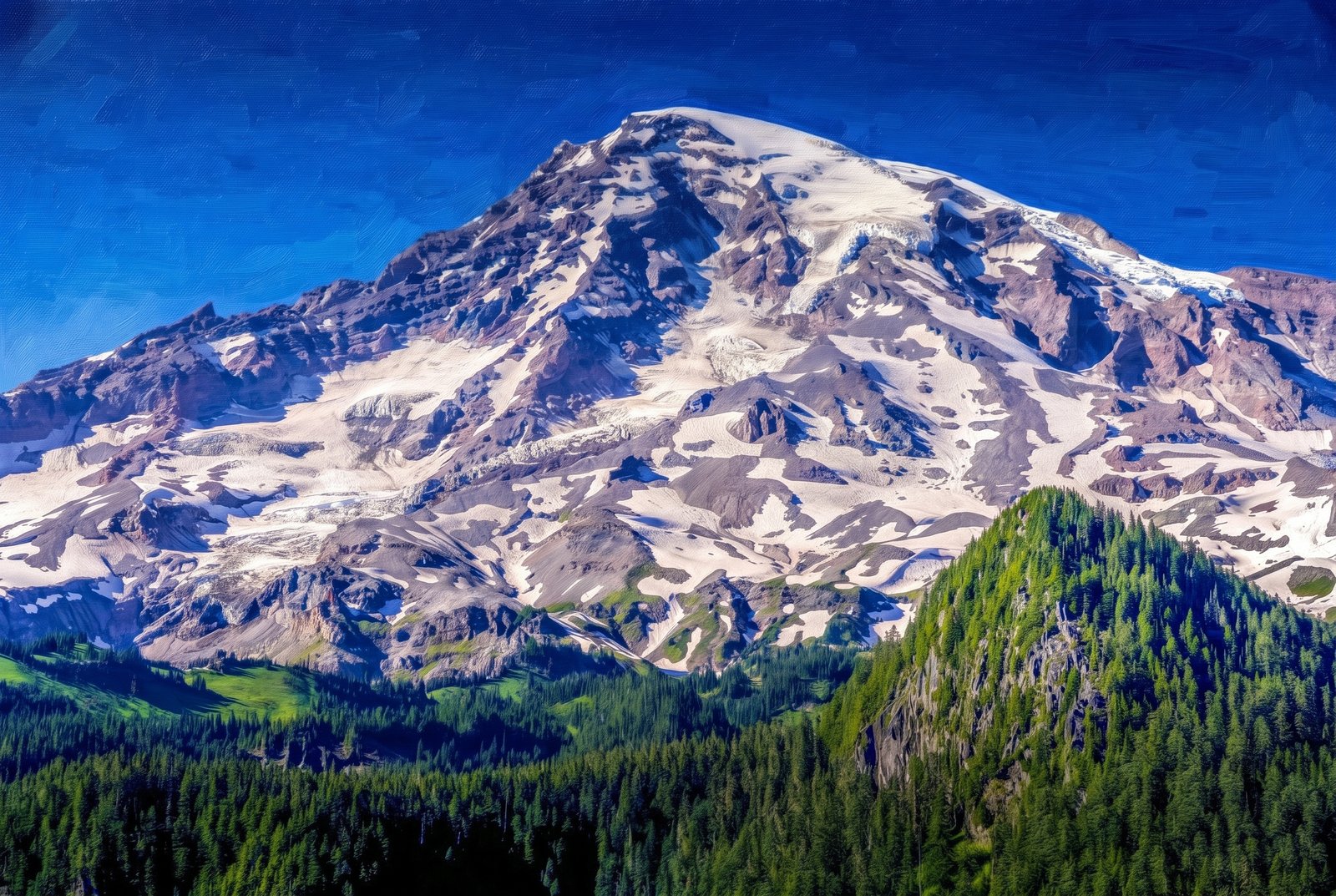 Painterly
Mt Rainier Washington
Sunlit, crevassed glaciers and streaks of volcanic rock cover the summit of Mount Rainier above the subalpine forests and meadows of Mount Rainier National Park, Washington, with dense Pacific silver fir and mountain hemlock climbing the ridges in front under a clear alpine sky. Key Features: The Peak: Mount Rainier, an active volcano at rest between eruptions, is the highest peak in the Cascade Range at 14,410 feet. The Ice: Built up by countless eruptions over the past 500,000 years and capped by snow and about two dozen glaciers, it is one of the most heavily glaciated peaks in the lower 48 states. The Landscape: The park climbs from about 1,600 feet to the summit, from dense evergreen forest to bare rock and ice. The Park: Paradise, Sunrise, Reflection Lakes and the Wonderland Trail, which circles the whole mountain, draw hikers and photographers all summer.
Prints from $41Prints only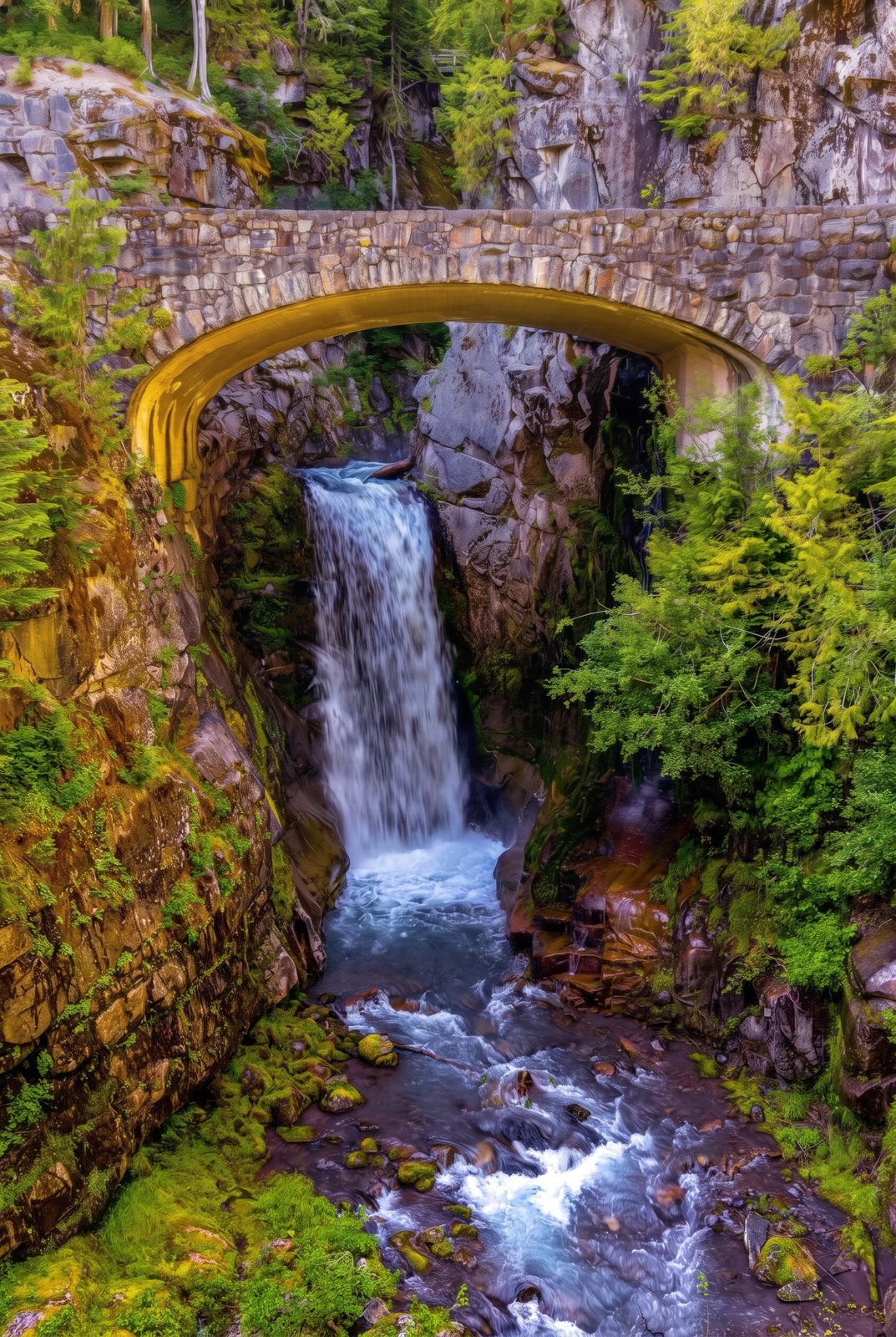 Painterly
Mt Rainier Washington Falls
Christine Falls drops beneath the historic stone bridge that carries the Paradise Road over Van Trump Creek in Mount Rainier National Park, Washington, the creek plunging in two tiers down a narrow, moss-covered canyon on its way to the Nisqually River, with ferns and conifers crowding the cliffs around the arch. Key Features: The Bridge: Built in 1928 of reinforced concrete faced with native stone, in the park's rustic style, it still carries traffic over the falls. Historic Recognition: The bridge is on the National Register of Historic Places, part of the park's collection of rustic architecture. The Setting: The falls lie between Rampart Ridge and Cushman Crest, a well-known stop on the road between Longmire and Paradise.
Prints from $41Prints only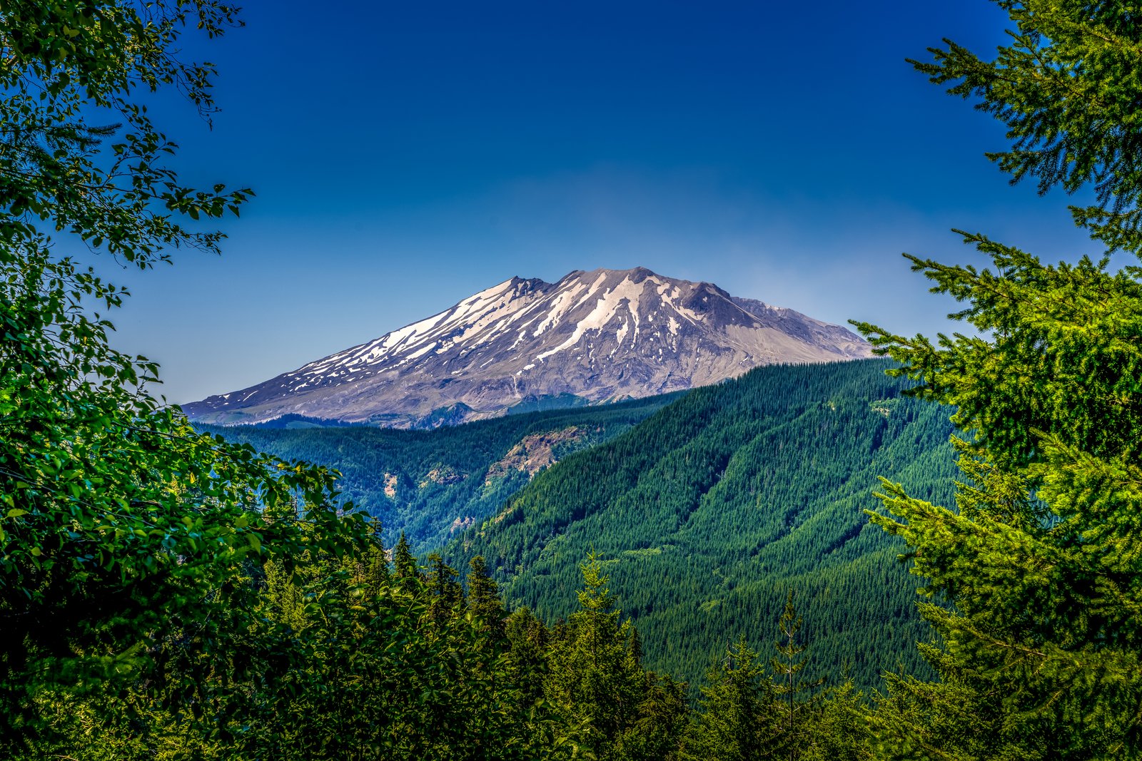
Mt Rainier Washington
Mount St. Helens rises beyond evergreen boughs and leafy branches at the edge of a forest clearing in southwest Washington's Gifford Pinchot National Forest, its truncated, snow-streaked summit and ash-gray slopes standing over the deep green, regrown timber in the valley below. Key Features: The Crater: The 1980 eruption tore away about 3.4 billion cubic yards of the cone and some 1,300 feet of height, leaving a horseshoe-shaped crater open to the north. The Eruption: A huge debris avalanche carried off the summit, turning a once-symmetrical peak into today's jagged profile. The Recovery: The slopes around the mountain show decades of forest regrowth since the blast. The Elevation: The summit dropped from about 9,600 feet to about 8,300 feet.
Prints from $22Downloads from $19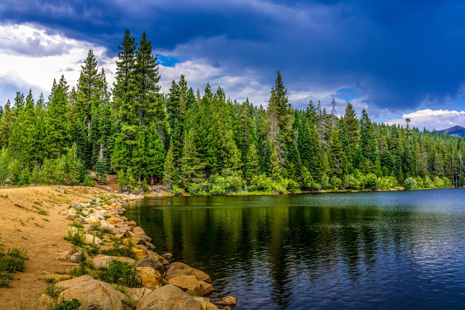
Snowflower RV Reno
Calm water at Snowflower Lake, the private stocked trout lake at Snowflower RV Resort in Emigrant Gap, California, stretches from a sandy, boulder-lined shore to a dense wall of pine and fir as a storm sky gathers overhead, high in the Sierra Nevada along Interstate 80 between Sacramento and Reno. Key Features: The Resort: Snowflower sits in the Sierra off I-80 at Exit 160, nearly 700 acres centered on the lake. The Lake: A 23-acre lake stocked with trout, with canoes and paddle boats for rent. Nearby: Reno is a short drive east, with casinos, shopping and restaurants.
Prints from $22Downloads from $19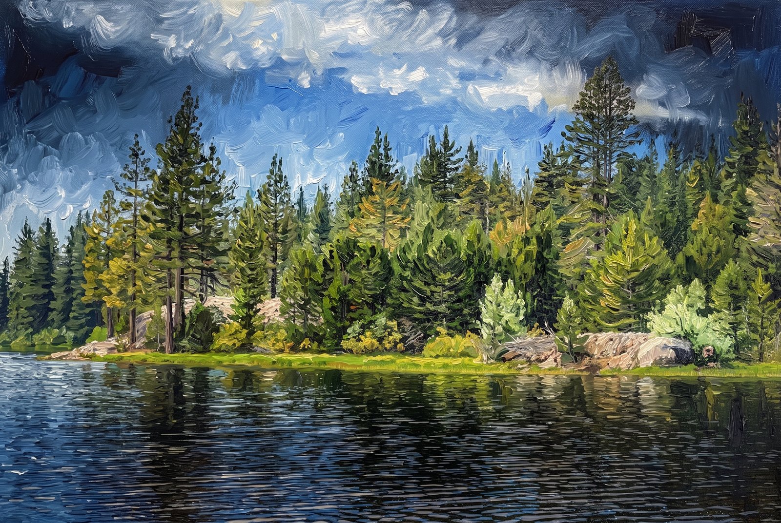 Impressionist
Snowflower Lake
Sunlight breaks through a heavy bank of cloud over Snowflower Lake near Emigrant Gap, California, picking out a golden strip of shoreline grass and pale granite boulders among the Jeffrey and lodgepole pines that crowd down to the still, dark water. Key Features: The Setting: Snowflower RV Resort lies in the Sierra Nevada off Interstate 80 at Exit 160. The Lake: 23 acres, stocked with trout, with canoes and paddle boats for rent. The Landscape: Granite outcrops and mixed conifer forest mark this stretch of the northern Sierra.
Prints from $41Prints only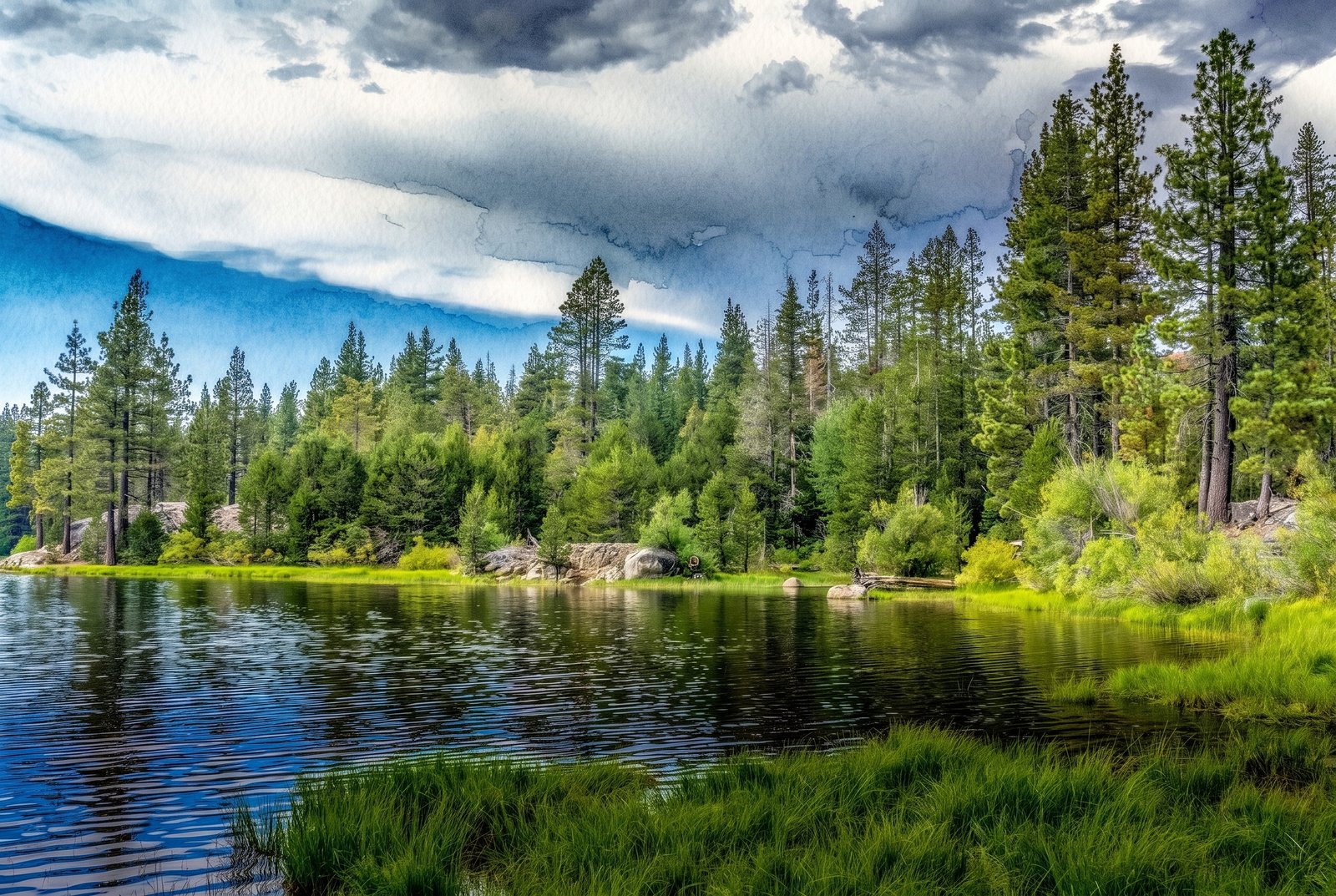 Watercolor
Snowflower Lake
A passing summer storm breaks to blue sky over Snowflower Lake in Placer County, California, its clouds mirrored in the still, dark water beside a grassy, granite-studded shore and a dense stand of Jeffrey and ponderosa pine. Key Features: The Setting: The lake sits a short drive off Interstate 80 near Yuba Gap and Emigrant Gap, on the west side of Donner Summit, in the Tahoe National Forest area. Recreation: Fishing, swimming, kayaking, biking and hiking are favorites here. The Moment: Storm light clearing over the Sierra forest, caught in the calm surface of the lake.
Prints from $41Prints only
Lazy Day At Lake Tahoe
A figure in a sun hat rests on a shoreline bench, taking in the vivid blue water of Lake Tahoe with the mountains of the Carson Range rising along the far shore, high in the Sierra Nevada on the California-Nevada line. Key Features: The Color: Tahoe's intense blue comes from sunlight in its exceptionally pure water. The Scale: North America's largest alpine lake, 22 miles long and 12 miles wide, and 1,645 feet at its deepest. The Origins: Faulting along the Carson Range formed the basin about two million years ago. The Elevation: The lake sits at 6,225 feet (1,897 meters).
Prints from $22Downloads from $19