


Photographer
Rick Billings, M. Photog., Cr.
Orlando, Florida
I've been a professional photographer since I graduated high school in 1978. I'm bringing over four decades of professional photography experience and offering images I captures as beautiful display prints in your home or office.
Collections
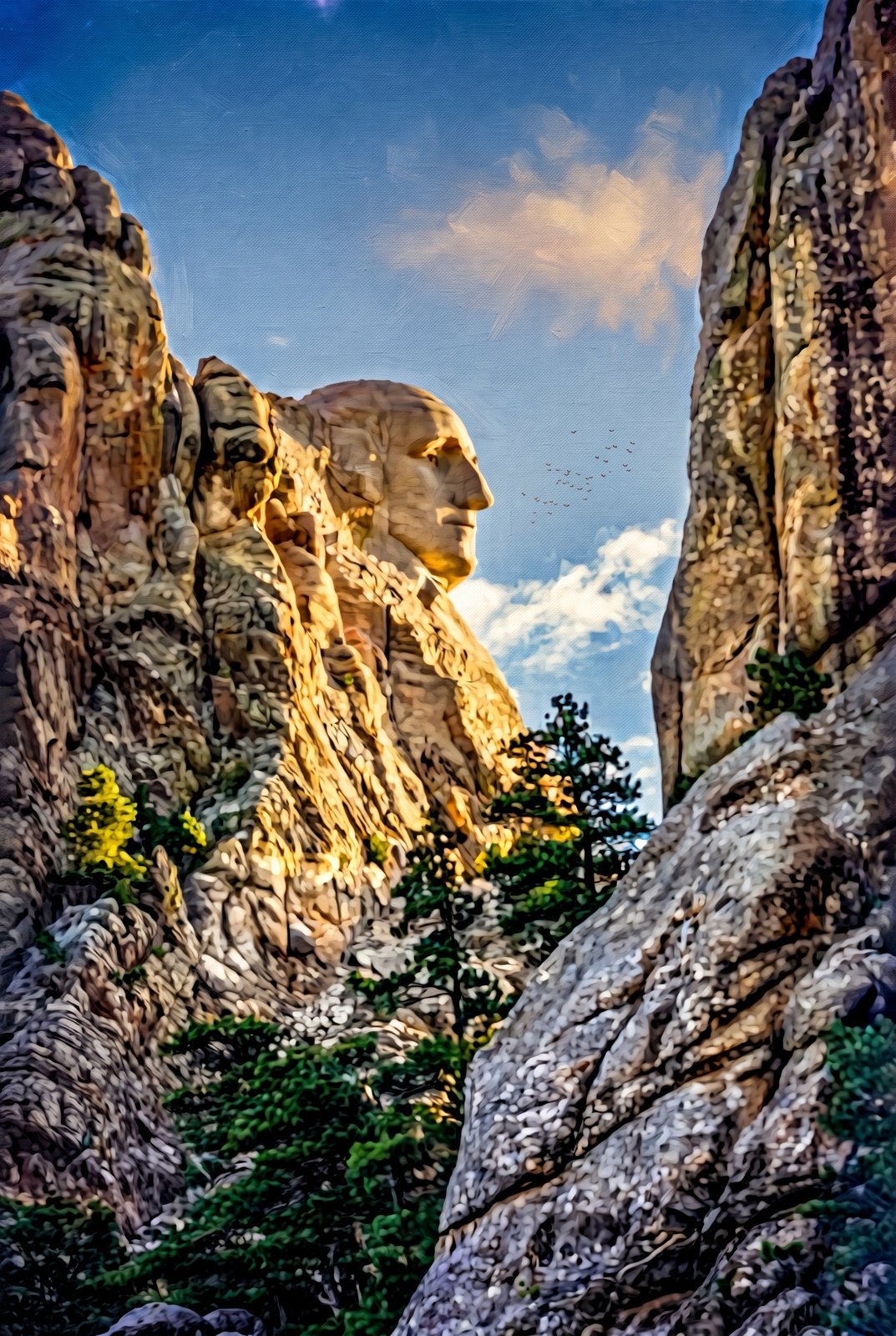
USA
80 photos
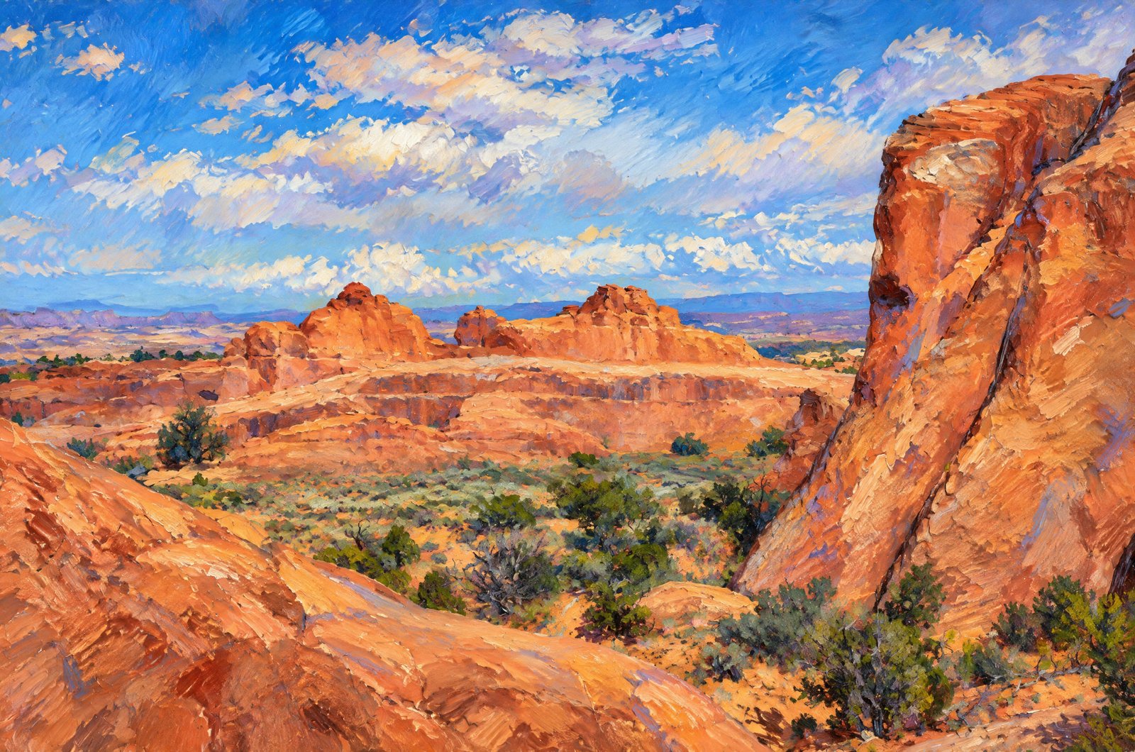
Arches, Bryce Canyon, Moab & Zion National Park - Utah
15 photos
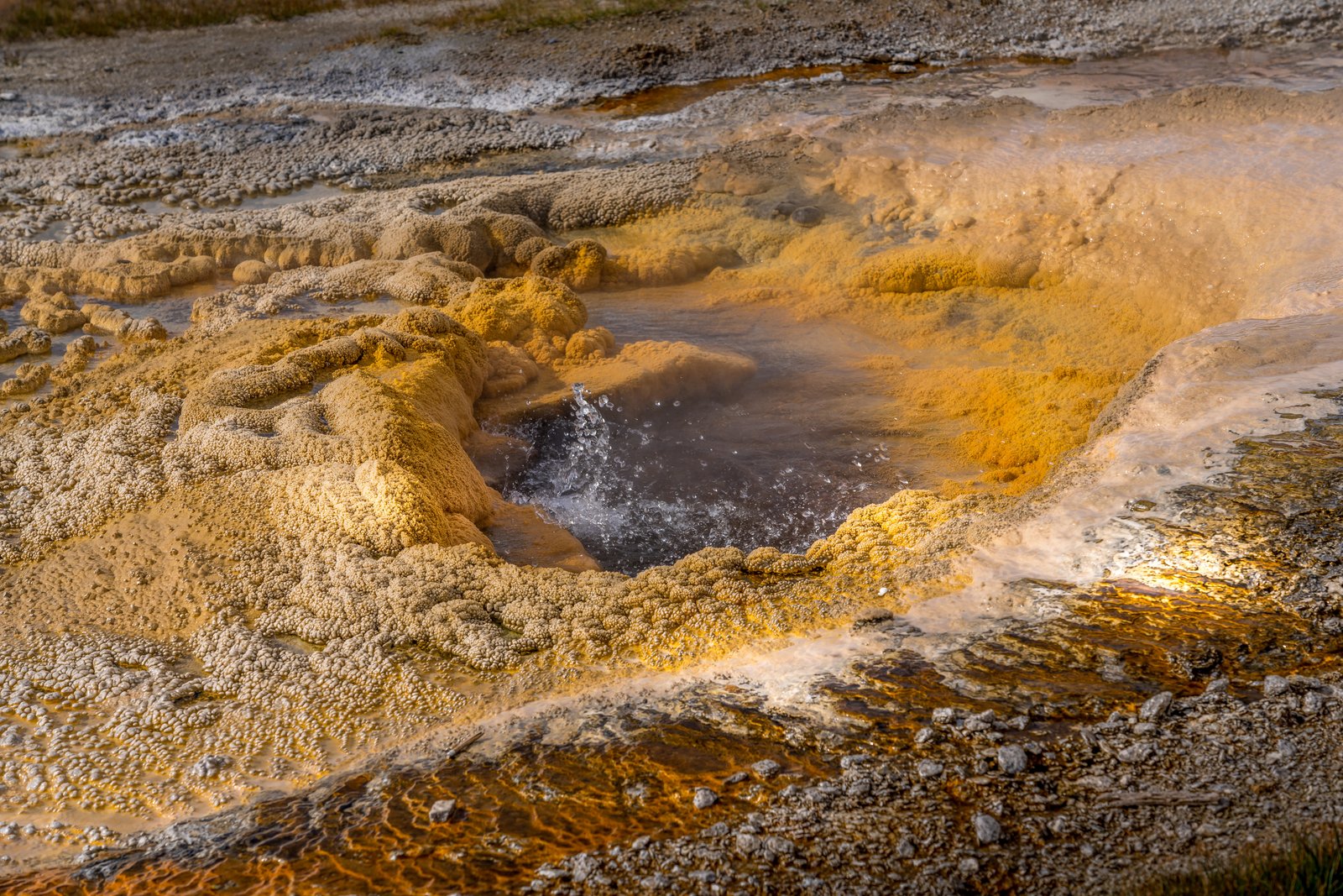
Yellowstone National Park, Wyoming
32 photos
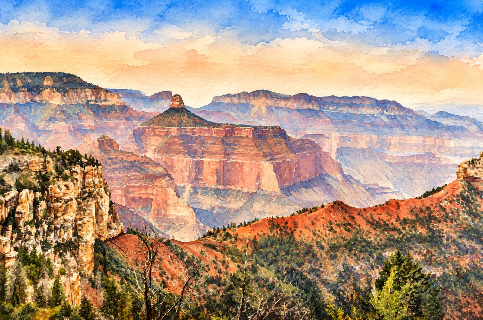
Grand Canyon National Park - Arizona
22 photos
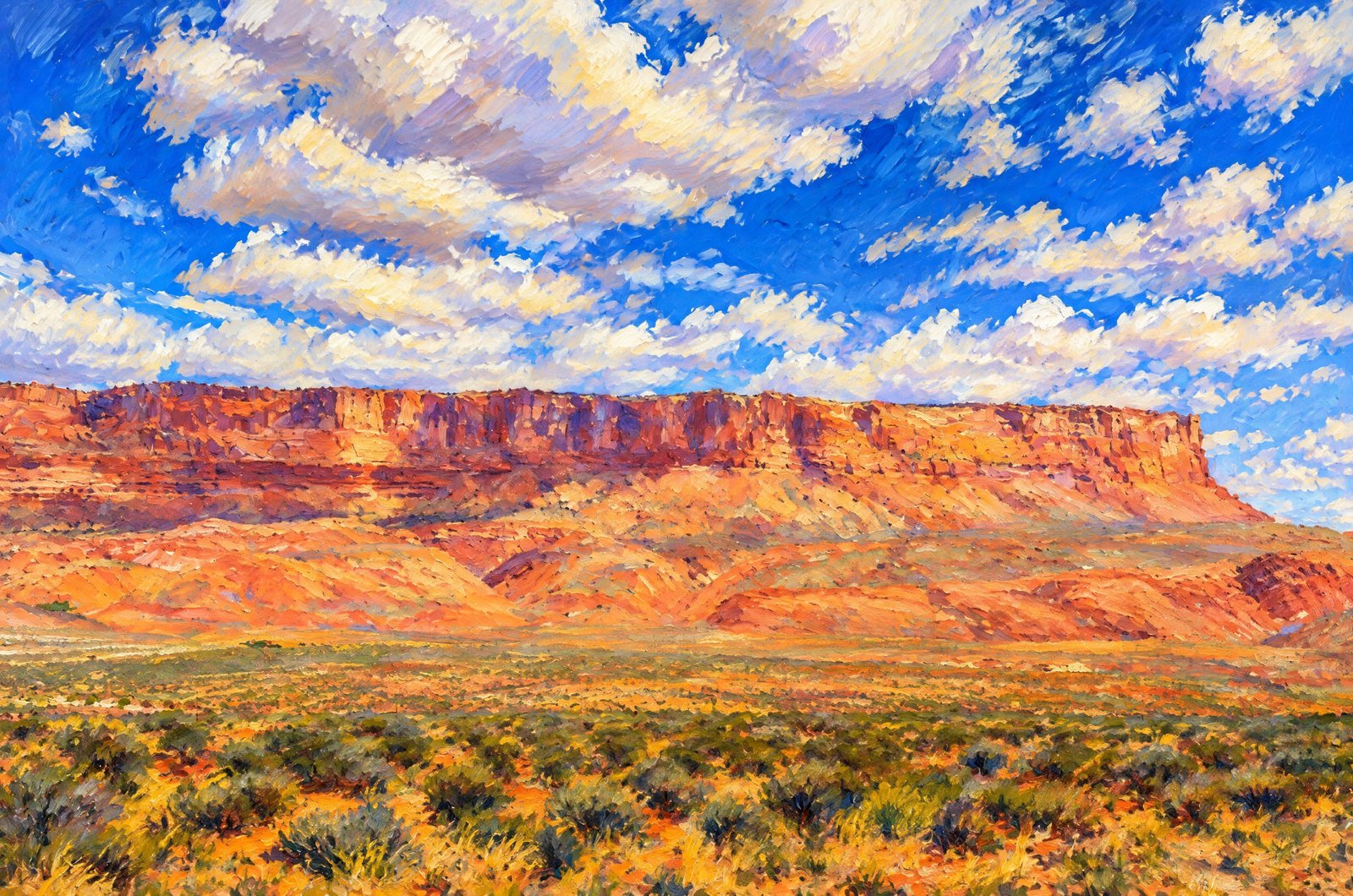
Lake Powell Page - Arizona
26 photos
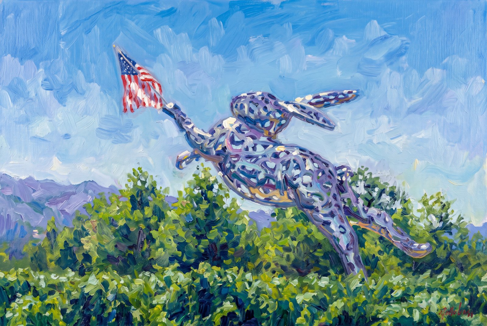
Pacific Coast, USA
36 photos
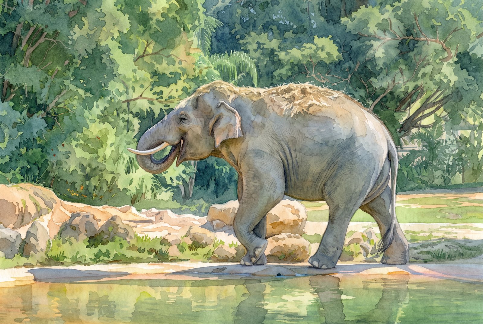
Animals
15 photos

Flowers
18 photos
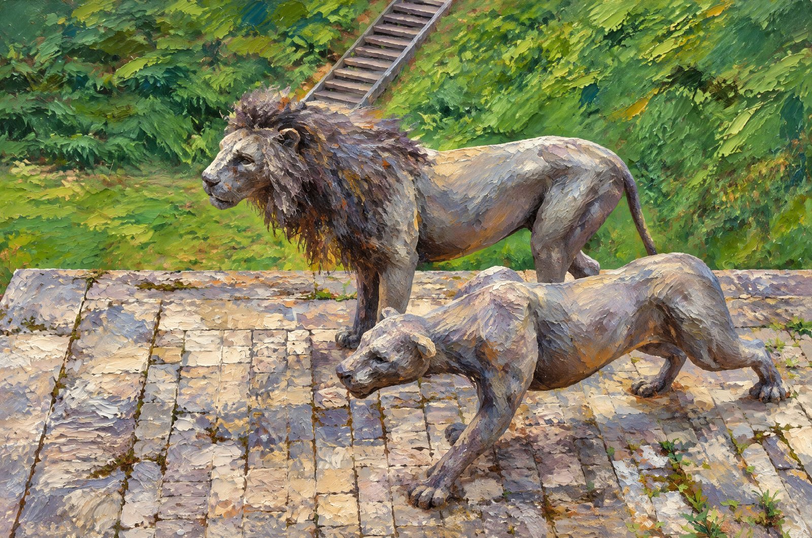
United Kingdom
15 photos
Scotland
54 photos
Costa Rica
2 photos
All Photos By Rick Billings, M. Photog., Cr.
 Watercolor
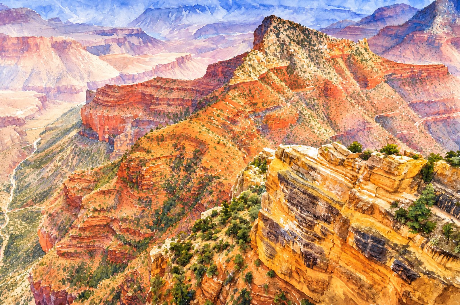
1306 Grand Canyon North Rim
From Cape Royal on the Grand Canyon's North Rim, one of the few drivable overlooks on the remote Walhalla Plateau, tiered red and buff cliffs drop toward isolated buttes such as Wotans Throne, with the Colorado River winding far below near Unkar Creek and the hazy South Rim on the horizon. Key Features: The Vantage Point: At about 7,900 feet, Cape Royal has one of the broadest panoramas on the North Rim. The Rock Layers: Banded red Hermit Shale and pale Coconino Sandstone form the jagged descending ridges. The Isolated Peaks: Flat-topped mesas like Wotans Throne stand apart from the rim, carved by erosion into monuments within the canyon. The Setting: Reached only by a long seasonal road, this side of the park stays quiet and undeveloped.
Prints from $41Prints only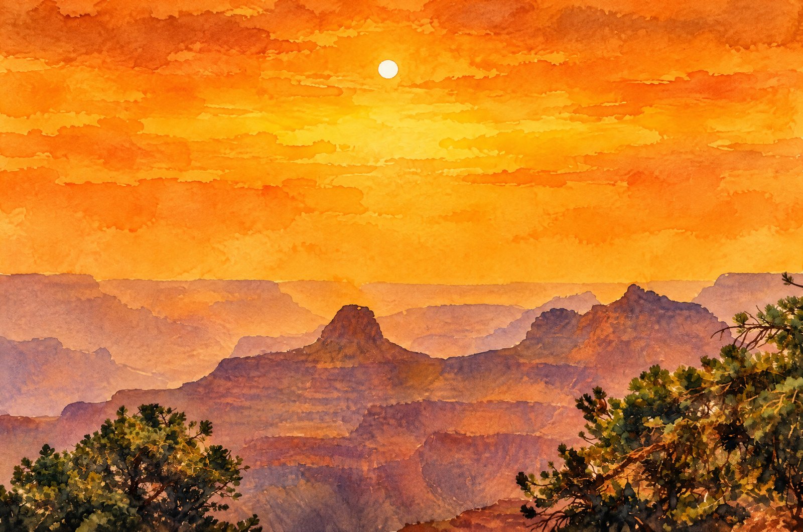 Watercolor
1308 Sunset In The Grand Canyon North Rim
Ponderosa pine boughs frame a view south across the Grand Canyon from a forested North Rim overlook, layers of eroded buttes and temples fading into a smoky orange haze as the late afternoon sun hangs low over the rock. Key Features: The North Rim: About 1,000 feet higher than the South Rim, it draws far fewer visitors and offers cooler, more secluded views. The Rock Temples: The isolated buttes are remnants of ancient rock layers carved by the Colorado River over millions of years. The Haze: Seasonal smoke from wildfires and prescribed burns often tints the canyon air, deepening the sunset colors. The Forest Edge: Ponderosas along the rim mark where the high Kaibab Plateau woodland meets the bare canyon walls.
Prints from $41Prints only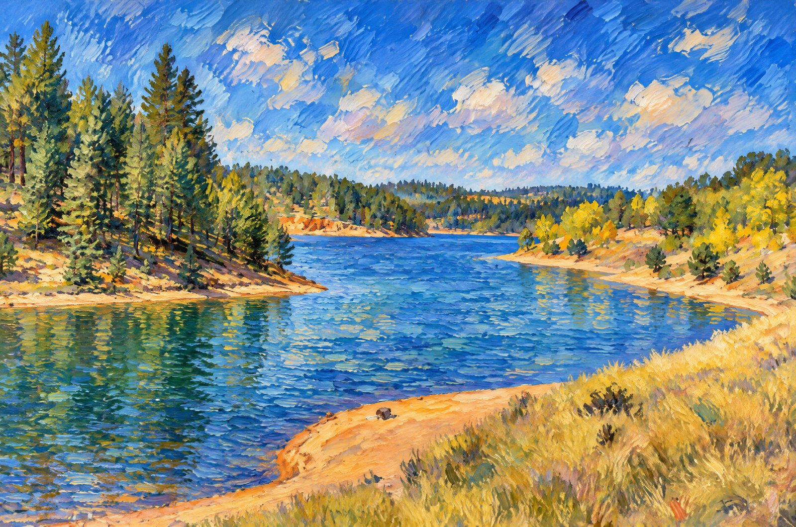 Impressionist
Crystal Creek Reservoir
Golden aspen and ponderosa pine frame the deep blue water of Crystal Creek Reservoir on the northwest flank of Pikes Peak in Colorado's Pike National Forest, above sandy, rust-colored banks. Key Features: The Reservoir: At about 9,230 feet, it covers roughly 136 acres, fed by Crystal Creek. The Setting: Crystal Creek Dam holds the lake near the Teller and El Paso county line, within Pike National Forest around Pikes Peak. The Season: Mixed pine and aspen turn for a brief autumn show that draws visitors each fall. Recreation: Boating, fishing, hiking and camping beneath one of Colorado's famous fourteeners.
Prints from $41Prints only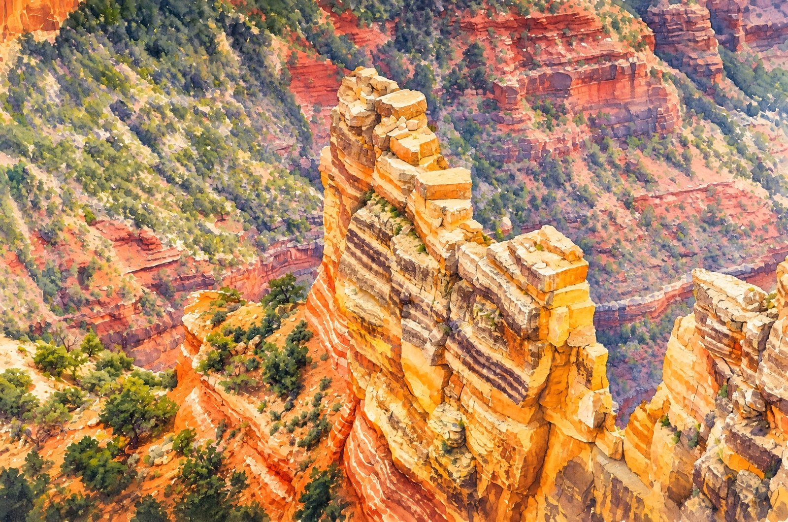 Watercolor
1309 Grand Canyon North Rim
A narrow sandstone pinnacle rises from the canyon wall below the forested Kaibab Plateau on the Grand Canyon's North Rim, dark streaks of desert varnish running down its banded, sunlit face, with juniper and pinyon on the slopes and a hazy, layered canyon behind. Key Features: The Rock: The pale spire is Coconino Sandstone, laid down as sand dunes 265 million years ago, above older, slope-forming layers in the reddish terrain beyond. The North Rim: The edge of the Kaibab Plateau, between 8,000 and 8,800 feet, cooler and more forested than the South Rim. Fewer Visitors: Remote and less developed, the North Rim keeps its overlooks quiet. Desert Varnish: The dark vertical streaks are mineral stains left by water running down the rock over centuries.
Prints from $41Prints only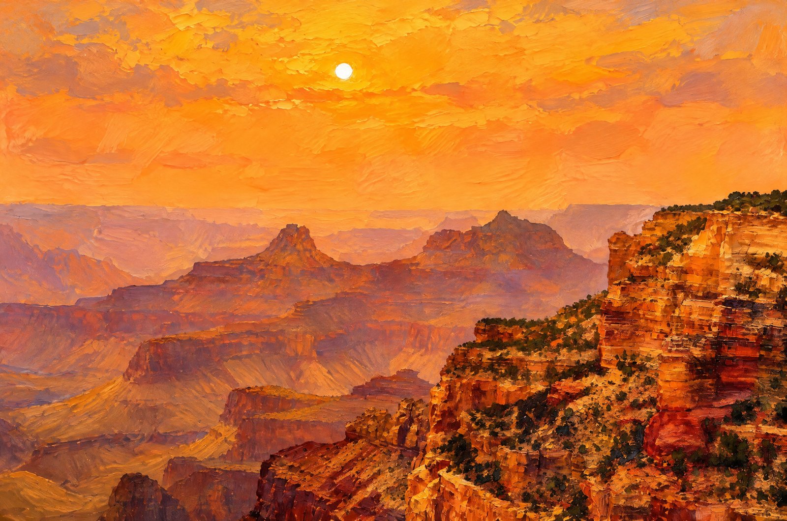 Painterly
1312 Sunset In The Grand Canyon North Rim
The sun sets as a pale, muted disc in a hazy orange sky over the Grand Canyon from the North Rim, layered cliffs, mesas and isolated buttes receding into the haze below a foreground cliff capped with pinyon and juniper. Key Features: The Rock Layers: The cliffs expose Kaibab Limestone, Coconino Sandstone and older strata, hundreds of millions of years old. The North Rim: Higher and more forested than the South Rim, with sweeping views across the inner canyon to its temples and buttes. The Hazy Light: Distant wildfire smoke or dust can turn the sky deep orange and soften the sun to a simple disc. The Scale: Ridgeline after ridgeline fading away shows the depth and breadth of this mile-deep canyon.
Prints from $41Prints only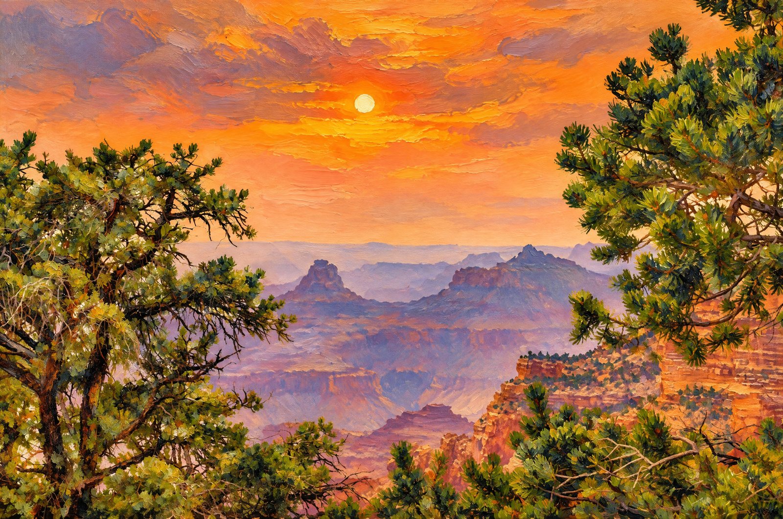 Painterly
1310 Sunset In The Grand Canyon North Rim
Dark green pinyon and ponderosa boughs frame layered limestone buttes receding into a smoke-tinted haze from a forested North Rim overlook, the sun sinking low as a pale orb in a deep orange sky. Key Features: The Vantage Point: Pine-framed overlooks like this mark the North Rim, about a thousand feet higher than the South Rim. Layered Light: Each receding ridge of limestone and sandstone shows as a softer band of color, the effect called atmospheric perspective. The Smoky Sky: The strong orange cast and muted sun come from wildfire smoke, a common summer sight across the Southwest.
Prints from $41Prints only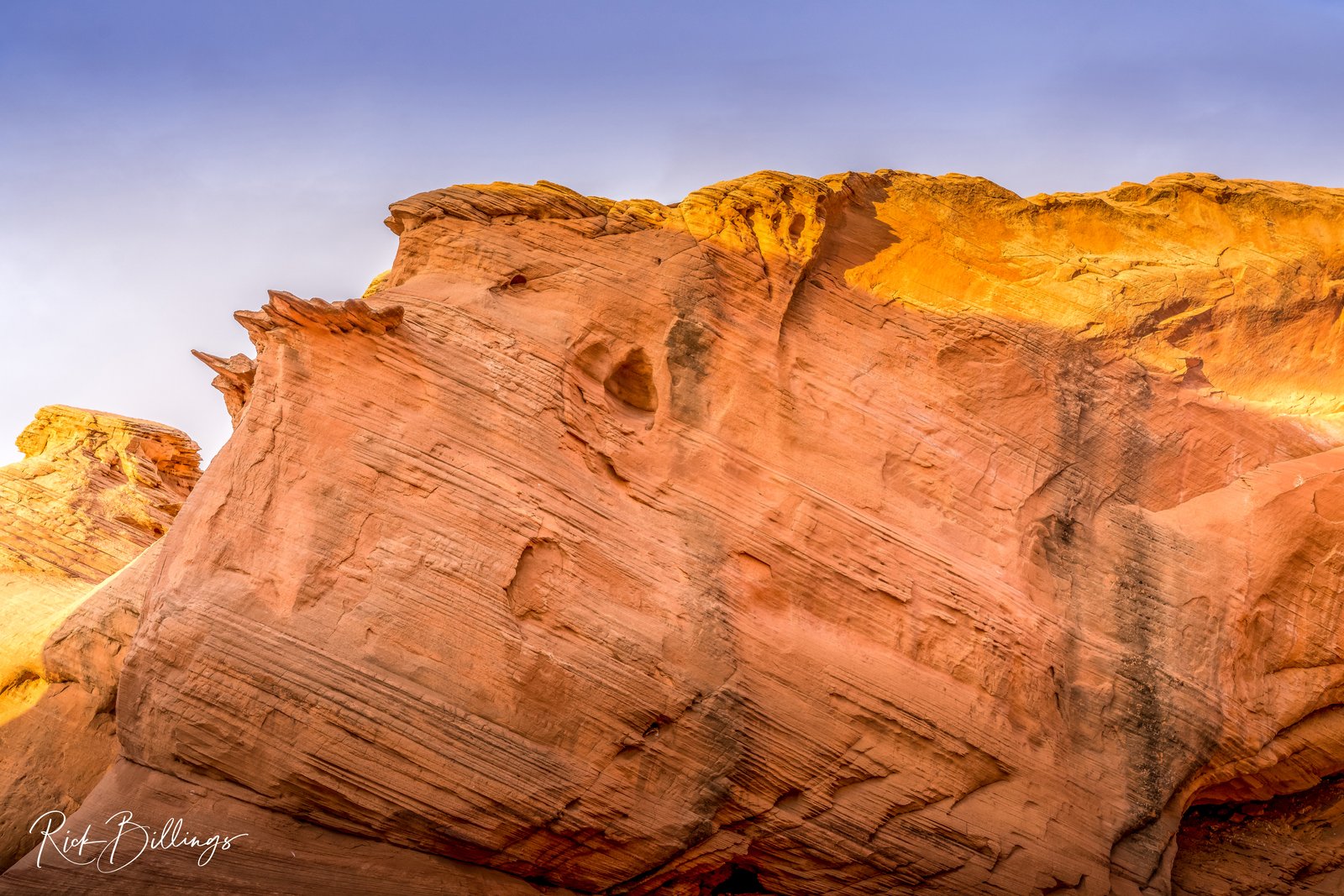
Page Arizona Sandstone Country
A sculpted outcrop of Navajo sandstone glows gold and rust in low sun near Page, Arizona, its surface etched with sweeping diagonal lines against a clear blue sky, in the sandstone country around Glen Canyon and Lake Powell. Key Features: The Rock: The sweeping lines are cross-bedding, left by ancient wind-blown dunes that hardened into Navajo sandstone. The Setting: Page sits on the Colorado Plateau beside Glen Canyon National Recreation Area, where bare sandstone cliffs and canyons draw photographers for their color and texture. The Light: Low desert sun deepens the iron oxide tones locked in the stone. The Region: Northern Arizona is known worldwide for its sandstone scenery, from slot canyons to river bends carved from the same ancient dunes.
Prints from $22Downloads from $19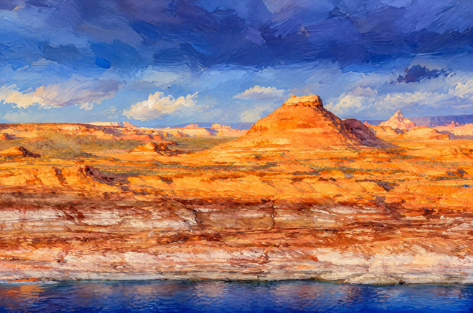 Painterly
Lake Powell At Page, Arizona
Domed Navajo sandstone buttes glow orange beneath an approaching storm at Lake Powell near Page, Arizona, with the reservoir's pale bathtub ring staining the shoreline in front and distant mesas and spires lining the horizon under heavy blue cloud. Key Features: The Bathtub Ring: The tall, bleached band shows how far the lake sits below capacity, where calcium carbonate and other minerals marked the rock. The Geology: The lake fills Glen Canyon on the Colorado Plateau, a vast uplift of sedimentary rock carved into canyons, mesas and cliffs. The Rock Formations: Jurassic sandstones, Navajo Sandstone among them, form the cliffs along these shores.
Prints from $41Prints only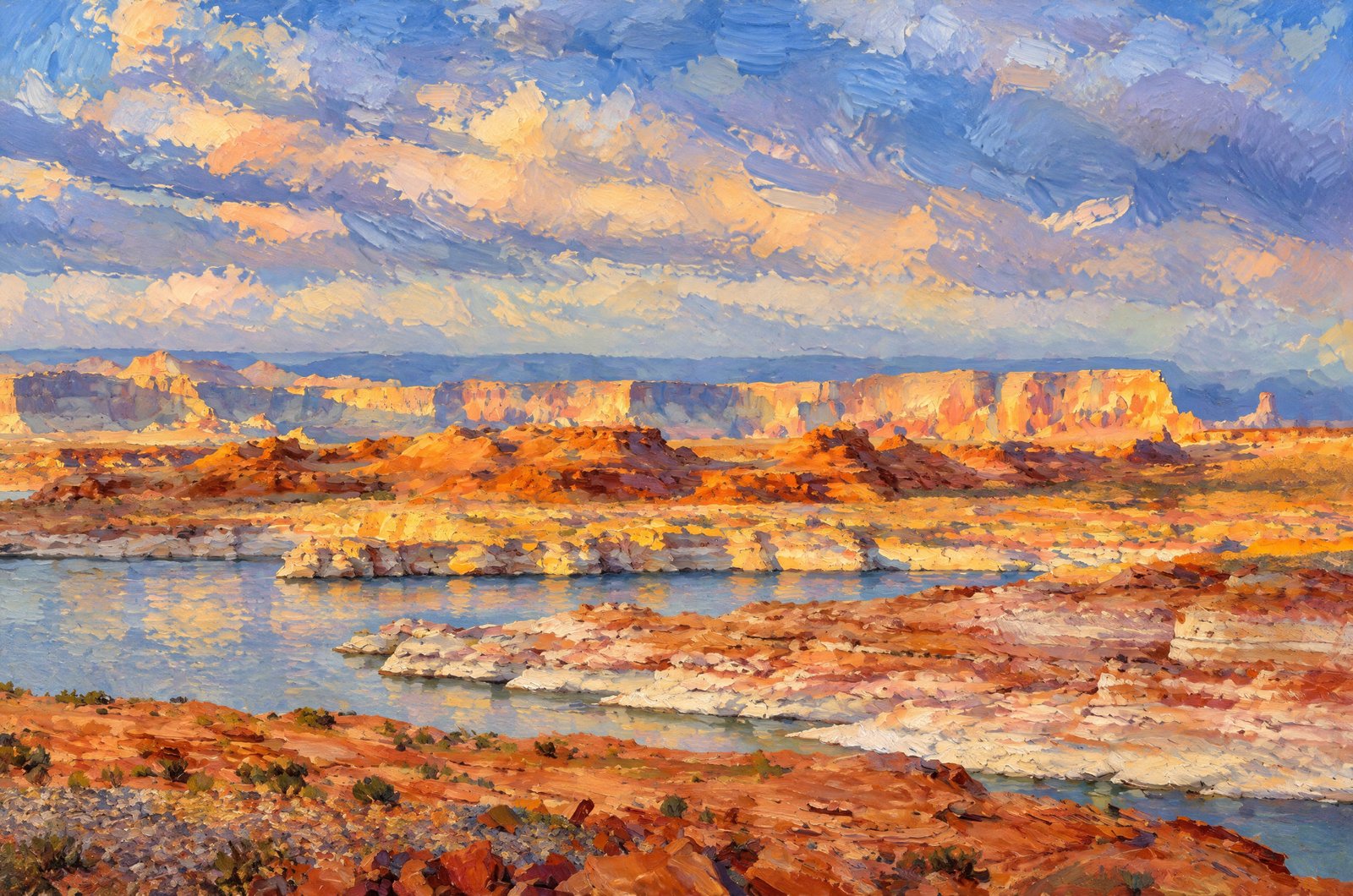 Impressionist
Lake Powell's Alstrom Point
Red rock buttes glow in the last warm light above the calm water of Padre Bay, seen from a high sandstone overlook at Alstrom Point on Lake Powell near Page, Arizona, the pale shoreline marked by the reservoir's white bathtub ring beneath a storm-streaked sky. Key Features: The Reservoir: Lake Powell is a man-made lake on the Colorado River, filling Glen Canyon across the Utah-Arizona line near Page. The Bathtub Ring: The pale band on the cliffs is mineral left on the Navajo sandstone as the water has dropped. The Landscape: Padre Bay is bounded by landmarks such as Alstrom Point and Gunsight Butte, whose layered red and white rock defines this shore. The Light: Warm light on the buttes against a darkening sky is the color contrast photographers come here for.
Prints from $41Prints only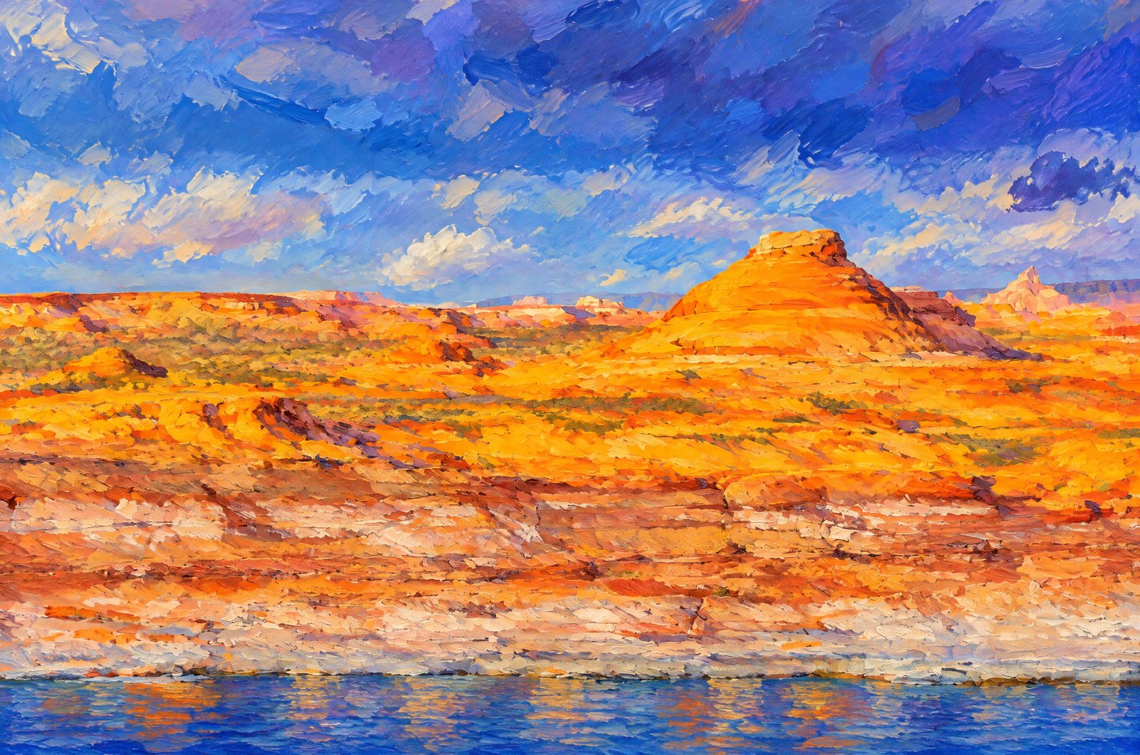 Impressionist
Arizona-Utah Border Near Page, Arizona
Deep blue water meets burnt-orange Navajo sandstone on Lake Powell near Page, Arizona, looking across Wahweap Bay to a rounded sandstone dome above the shore, with distant mesas and buttes fading into a darkening, storm-laden sky. Key Features: The Rock: Cross-bedded Navajo sandstone, formed from ancient desert dunes, gives the cliffs their glowing orange and gold. The Bathtub Ring: The pale band along the shore is mineral left as the water level has risen and fallen over the decades. The Reservoir: Glen Canyon Dam on the Colorado River created Lake Powell, flooding the canyon country below these cliffs. The Setting: Storm clouds and shifting desert light add drama to the layered canyon country.
Prints from $41Prints only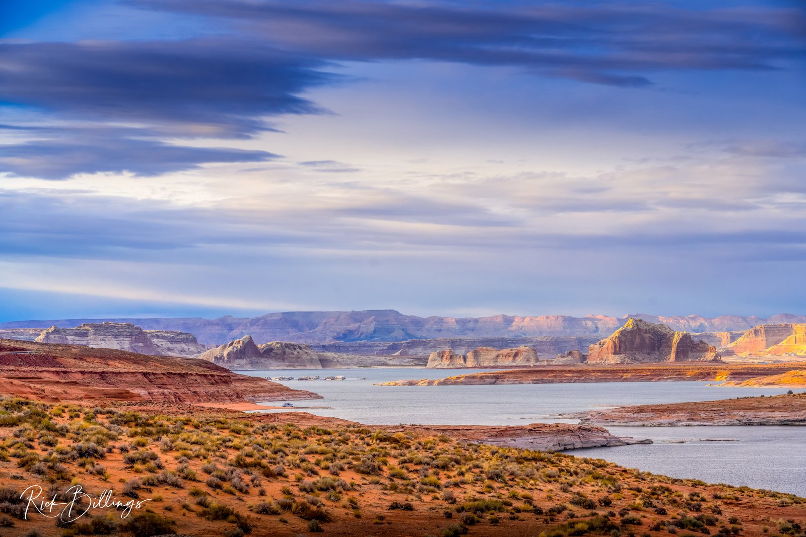
Wahweap Bay On Lake Powell
Houseboats rest along the shore of Wahweap Bay on Lake Powell, seen looking south from the overlook near Page, Arizona, with sandstone buttes and mesas, Castle Rock among them, rising beyond the water under a broad, storm-streaked sky. Key Features: The Reservoir: Lake Powell filled after the Colorado River was dammed at Glen Canyon in the 1960s, a vast sheet of water framed by red rock desert. The Landscape: Layered Navajo sandstone cliffs and isolated buttes ring the bay, shaped over millions of years of erosion. The Town: Page, built to house the dam's workers, is now the main gateway for boating and sightseeing on the lake. The Light: Warm evening sun catches the distant rock towers as heavy clouds roll overhead.
Prints from $22Downloads from $19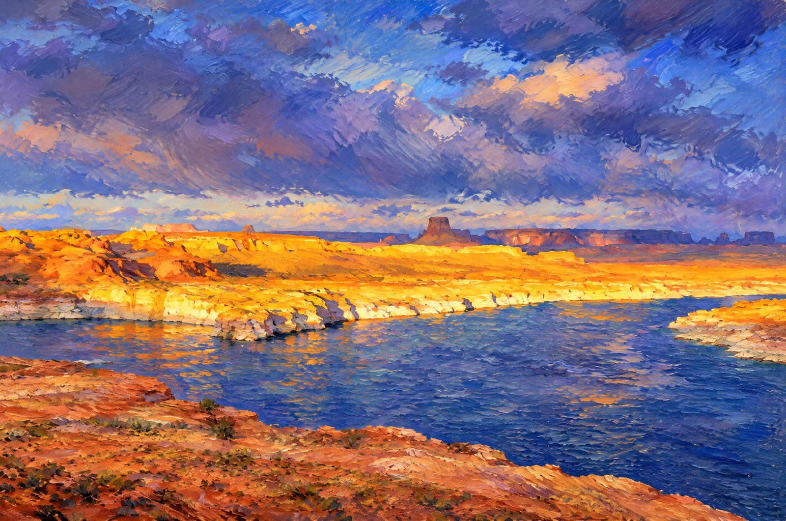 Impressionist
Glen Canyon Dam
Orange cliffs catch the late light around Padre Bay on Lake Powell near Page, Arizona, with flat-topped buttes rising on the horizon and darker weather moving across the water below, a landscape of wind-carved Navajo and Entrada sandstone shaped long before the lake existed. Key Features: The Reservoir: Glen Canyon Dam began holding back the Colorado River in 1963, flooding the sandstone canyons of Glen Canyon to make Lake Powell, the second-largest reservoir in the United States. The Rock: The glowing cliffs are Navajo sandstone, within Glen Canyon National Recreation Area on the Arizona-Utah line. The Buttes: Towers such as Gunsight Butte are remnants of the old plateau, left standing above the flooded canyon. The Light: Low sun breaking beneath storm clouds sets the canyon walls aglow.
Prints from $41Prints only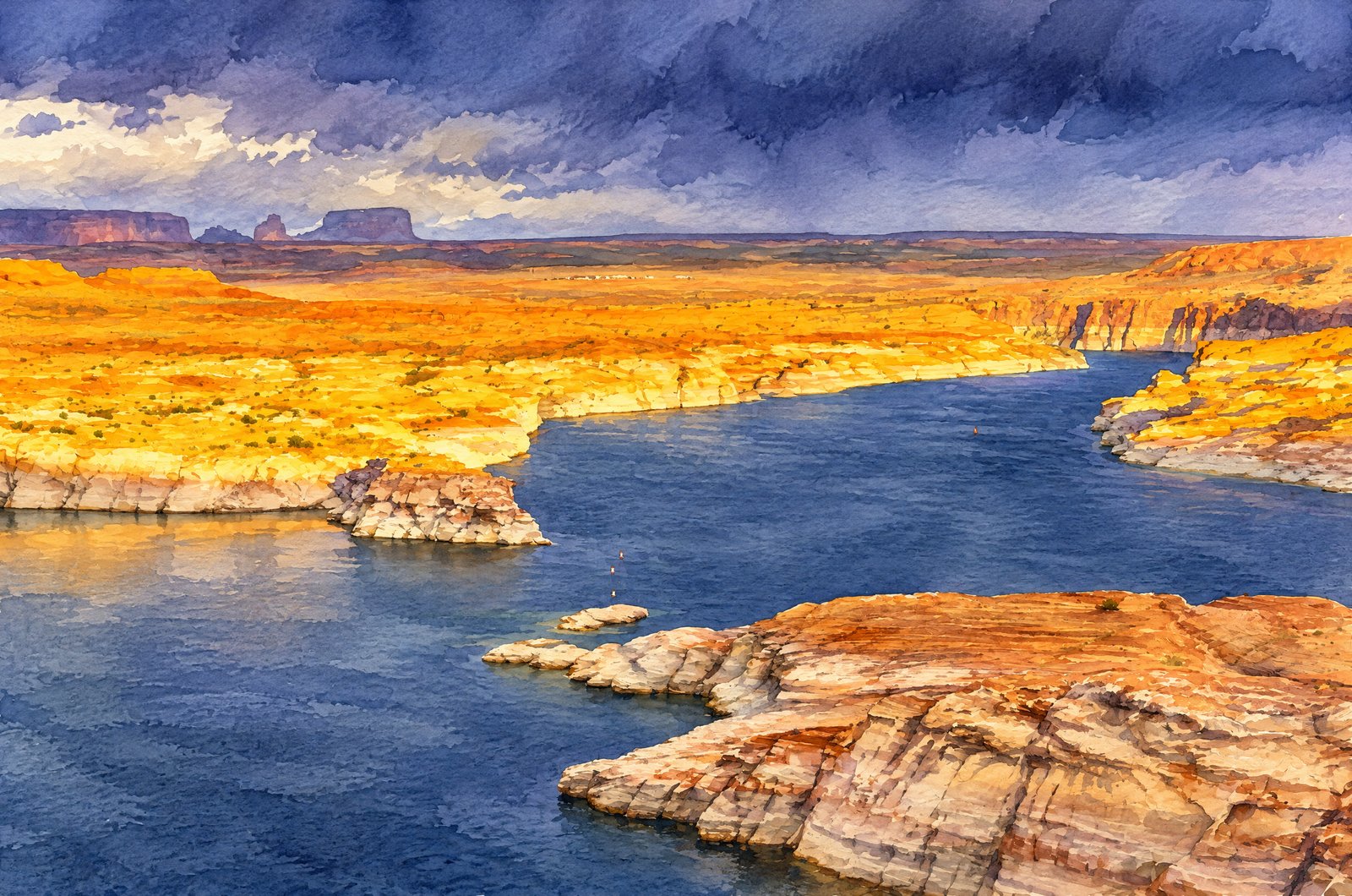 Watercolor
Wahweap Overlook Near Page, Arizona
Dark water curls between sunlit cliffs below the sandstone rim of Wahweap Overlook near Page, Arizona, as a storm gathers overhead, looking south across Glen Canyon National Recreation Area to layered buttes on the horizon and the lights of distant buildings on the valley floor. Key Features: The Reservoir: Glen Canyon Dam on the Colorado River formed Lake Powell, known for its maze of flooded side canyons and sandstone walls. The Overlook: Just off US Highway 89 near Page, Wahweap Overlook has one of the widest elevated views of the lake and its rock formations. The Light: Warm sun on the cliffs against a darkening storm is what photographers wait for here. The Region: The distant mesas and plain are Navajo Nation land bordering Glen Canyon, part of the Colorado Plateau.
Prints from $41Prints only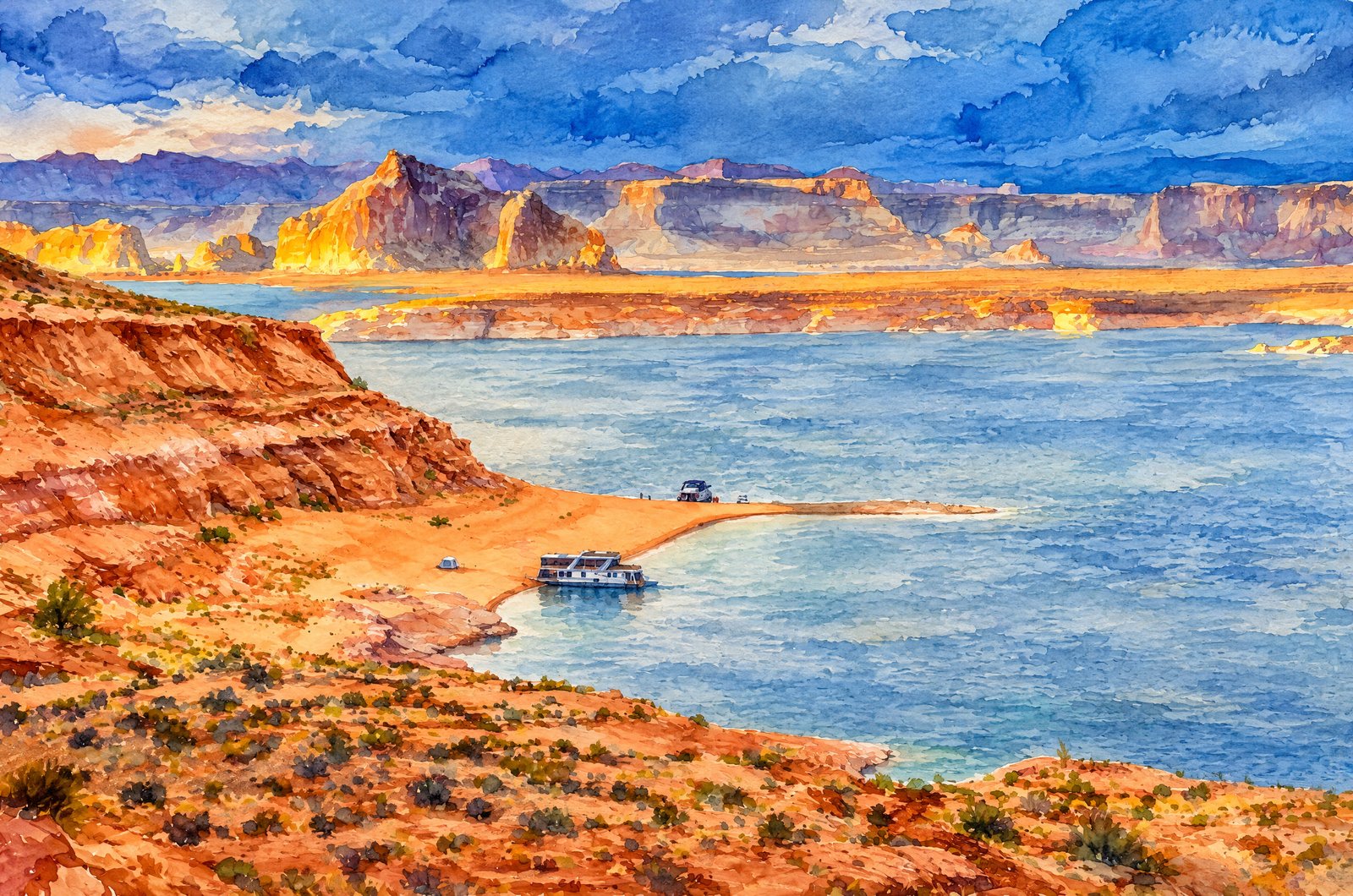 Watercolor
Lake Powell Sandstone Overlook
Two houseboats rest against a sandy point in a quiet turquoise cove of Lake Powell near Page, Arizona, seen from a sandstone overlook, with layered red and buff cliffs around the water and distant mesas catching late light beneath a brooding, storm-dark sky. Key Features: The Reservoir: By total storage, Lake Powell is the second-largest reservoir in the United States. The Dam: Glen Canyon Dam rises above the Colorado River near Page, holding back the lake at the heart of Glen Canyon National Recreation Area. The Geology: The Navajo Sandstone cliffs are ancient desert dunes turned to stone some 190 million years ago. Recreation: Houseboating, boating, fishing, kayaking and exploring side canyons draw visitors all year.
Prints from $41Prints only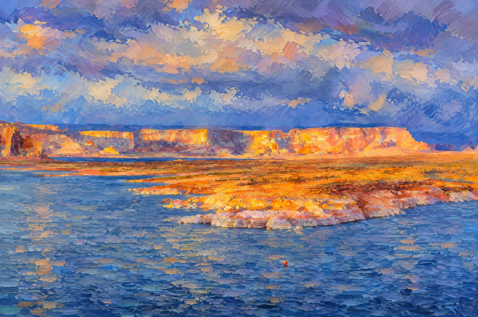 Impressionist
Lake Powell Wahweap Overlook
Late sun breaks through incoming storm clouds to light distant Navajo sandstone cliffs in warm gold across Wahweap Bay on Lake Powell, seen from the Wahweap Overlook above the marina near Page, Arizona, over still, slate-blue water and a pale sandstone peninsula in front. Key Features: The Overlook: Wahweap Overlook stands on a sandstone knoll about 600 feet above the lake. The Panorama: The quick drive-up point looks out over Glen Canyon Dam, Navajo Mountain and the red rock desert around Page. The Water Level: Pale bands along the cliffs and shore mark the reservoir's rising and falling water. The Light: Facing west, the overlook is famous for sunsets, when the sun often slips beneath the clouds and sets the canyon walls aglow.
Prints from $41Prints only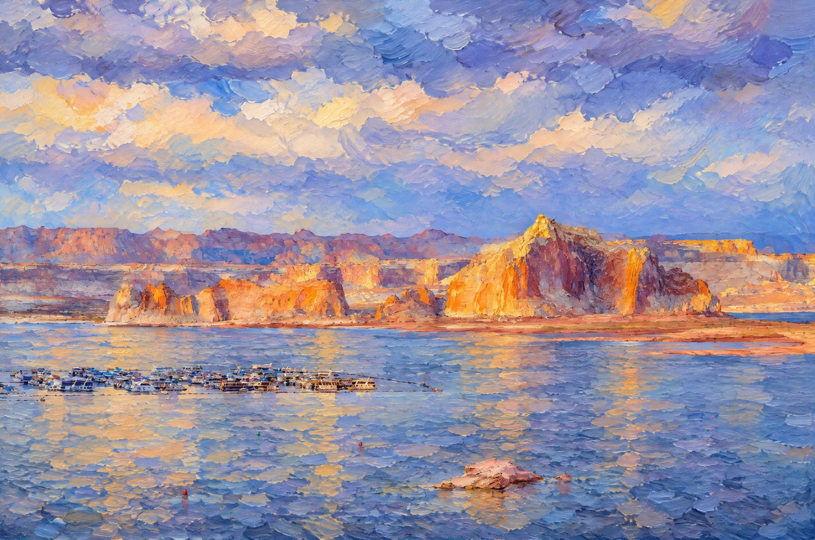 Impressionist
Wahweap Bay At Castle Rock
Late sunset light rakes the striped buttes of Castle Rock and the sandstone cliffs of Romana Mesa across Wahweap Bay on Lake Powell, near Page, Arizona, seen from above Wahweap Marina with houseboats clustered at the docks on the blue-green water under a storm-filled sky. Key Features: The Marina: Wahweap Marina is one of the largest on Lake Powell, a hub for houseboats and tour boats exploring Glen Canyon National Recreation Area. Castle Rock: The glowing formation on the skyline is the signature landmark of the bay. The Reservoir: Glen Canyon Dam began holding back the Colorado River in 1963, creating the second-largest reservoir in the United States.
Prints from $41Prints only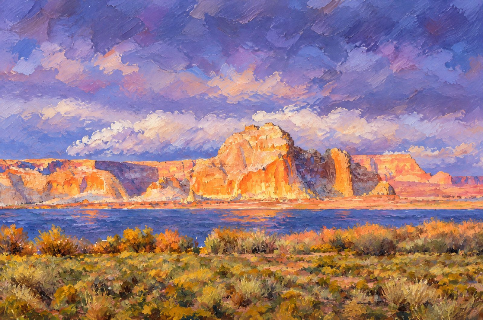 Impressionist
Wahweap Bay On Lake Powell Toward Castle Rock
Storm light breaks through dark clouds and sets Castle Rock and the cliffs around it ablaze in orange across Wahweap Bay on Lake Powell near Page, Arizona, the lake reflecting the passing weather beyond desert scrub in front. Key Features: The Landmark: Castle Rock, seen easily from the marina, is a favorite subject for sunset photographers. The Lake: Glen Canyon Dam held back the Colorado River and flooded the canyon system, creating this reservoir along the Arizona-Utah line. The Setting: The cliffs and buttes lie within Glen Canyon National Recreation Area, known for its layered Navajo sandstone. The Light: Passing desert storms throw warm light onto the red rock while the sky darkens behind.
Prints from $41Prints only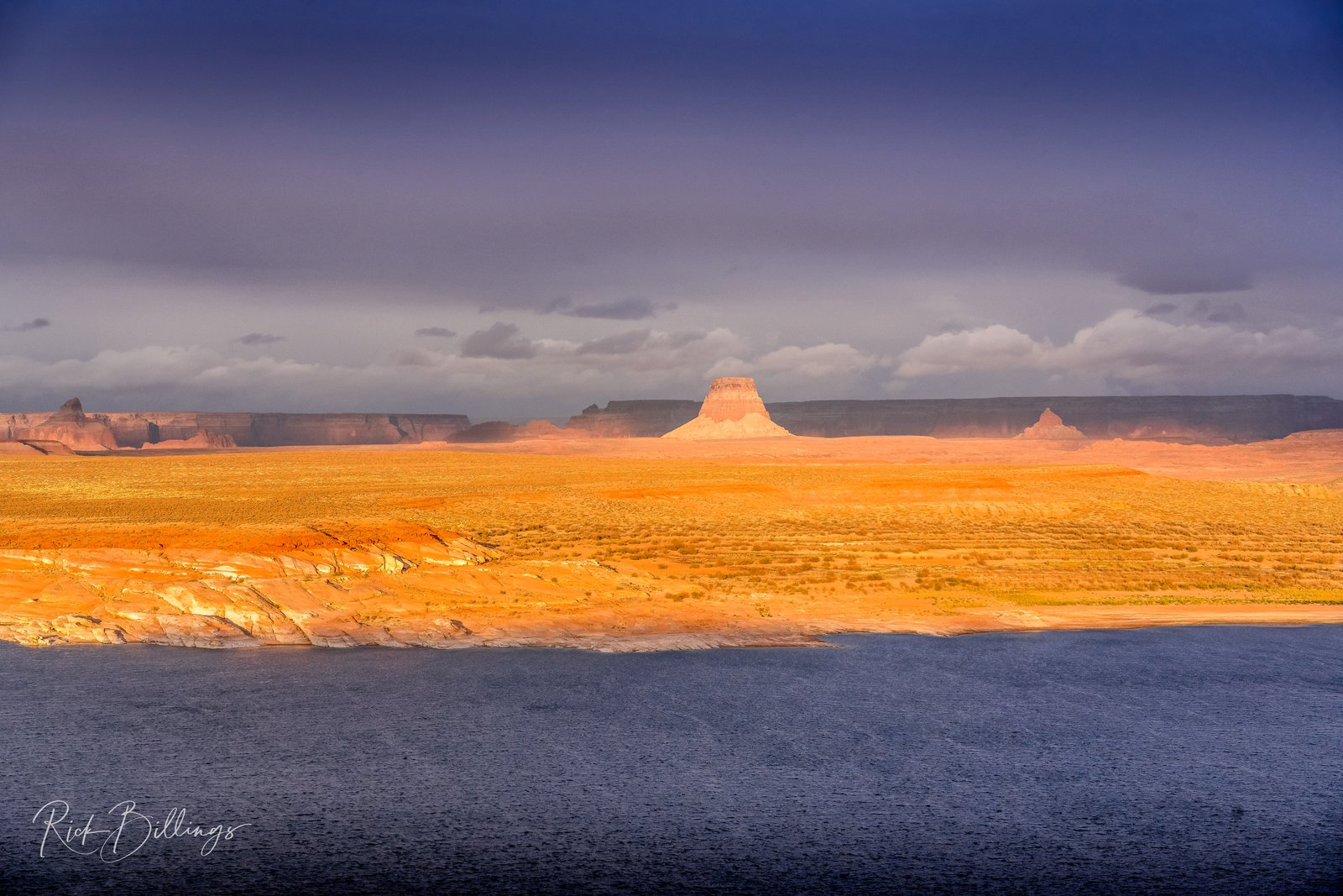
Still Waters Of Lake Powell
Tower Butte rises on the Navajo Nation south of Lake Powell near Page, Arizona, seen across the still water past a glowing orange sandstone shoreline, with smaller buttes and cliff lines along the horizon under a moody, storm-dark sky. Key Features: Tower Butte: A 5,287-foot sandstone summit on Navajo Nation land, towering more than 1,000 feet above the desert floor. The Reservoir: Lake Powell began filling in 1963, when Glen Canyon Dam held back the Colorado River. The Scale: Its winding shoreline and great length make it the second-largest reservoir in the United States. The Landscape: Banded orange sandstone and isolated towers tell of millions of years of erosion on the Colorado Plateau.
Prints from $22Downloads from $19