

Fine Art Gallery
Fine Art Photographs, Printed Big And Signed.
Photographs by Rick Billings, printed by a professional photo lab on paper, art board, metal, canvas or acrylic. Every print carries Rick's signature, and every photo is also sold as a full-resolution download.
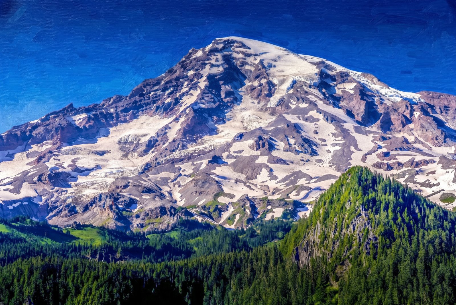 Painterly
Mt Rainier Washington
by Rick Billings, M. Photog., Cr.
Sunlit, crevassed glaciers and streaks of volcanic rock cover the summit of Mount Rainier above the subalpine forests and meadows of Mount Rainier National Park, Washington, with dense Pacific silver fir and mountain hemlock climbing the ridges in front under a clear alpine sky. Key Features: The Peak: Mount Rainier, an active volcano at rest between eruptions, is the highest peak in the Cascade Range at 14,410 feet. The Ice: Built up by countless eruptions over the past 500,000 years and capped by snow and about two dozen glaciers, it is one of the most heavily glaciated peaks in the lower 48 states. The Landscape: The park climbs from about 1,600 feet to the summit, from dense evergreen forest to bare rock and ice. The Park: Paradise, Sunrise, Reflection Lakes and the Wonderland Trail, which circles the whole mountain, draw hikers and photographers all summer.
Prints from $41Prints only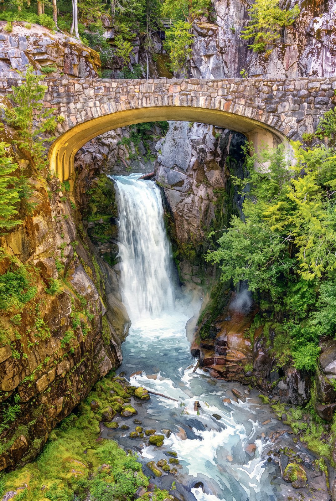 Watercolor
Mt Rainier Washington Falls
by Rick Billings, M. Photog., Cr.
Christine Falls drops beneath the historic stone bridge that carries the Paradise Road over Van Trump Creek in Mount Rainier National Park, Washington, the creek plunging in two tiers down a narrow, moss-covered canyon on its way to the Nisqually River, with ferns and conifers crowding the cliffs around the arch. Key Features: The Bridge: Built in 1928 of reinforced concrete faced with native stone, in the park's rustic style, it still carries traffic over the falls. Historic Recognition: The bridge is on the National Register of Historic Places, part of the park's collection of rustic architecture. The Setting: The falls lie between Rampart Ridge and Cushman Crest, a well-known stop on the road between Longmire and Paradise.
Prints from $41Prints only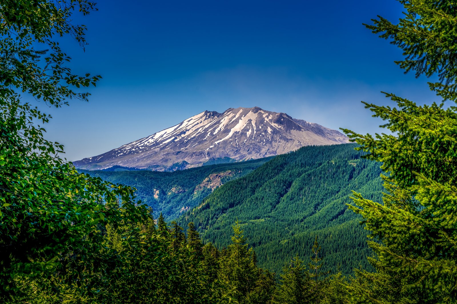
Mt Rainier Washington
by Rick Billings, M. Photog., Cr.
Mount St. Helens rises beyond evergreen boughs and leafy branches at the edge of a forest clearing in southwest Washington's Gifford Pinchot National Forest, its truncated, snow-streaked summit and ash-gray slopes standing over the deep green, regrown timber in the valley below. Key Features: The Crater: The 1980 eruption tore away about 3.4 billion cubic yards of the cone and some 1,300 feet of height, leaving a horseshoe-shaped crater open to the north. The Eruption: A huge debris avalanche carried off the summit, turning a once-symmetrical peak into today's jagged profile. The Recovery: The slopes around the mountain show decades of forest regrowth since the blast. The Elevation: The summit dropped from about 9,600 feet to about 8,300 feet.
Prints from $22Downloads from $19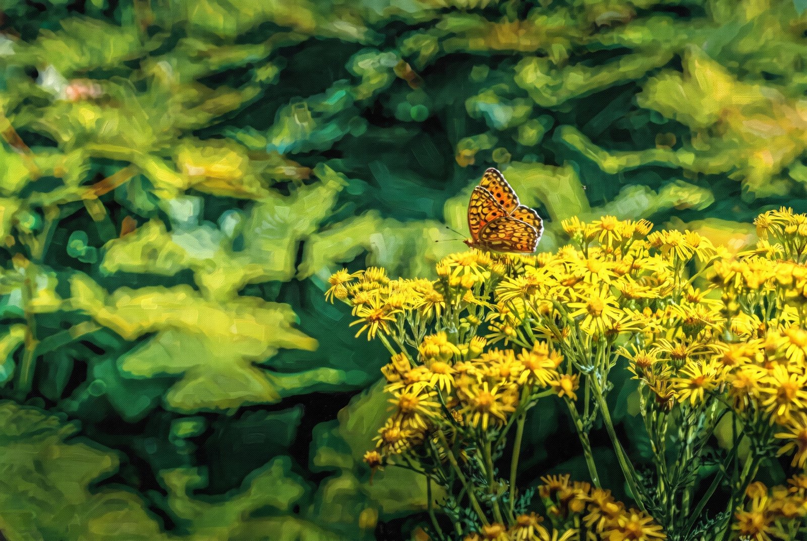 Impressionist
Butterfly
by Rick Billings, M. Photog., Cr.
A fritillary butterfly rests on a cluster of common ragwort blossoms, wings folded to show their intricate orange and black checkered pattern, with soft, blurred greenery behind. Key Features: The Butterfly: Fritillaries are known by the checkered orange and black pattern on their wings. The Flowers: Common ragwort is a native biennial wildflower; its wind-spread seeds can make it a nuisance on farmland. Ecological Value: Ragwort feeds hundreds of species of butterflies, bees, moths and other insects with its nectar. The Moment: Summer sun on a meadow edge, when pollinators like this one are easy to find.
Prints from $41Prints only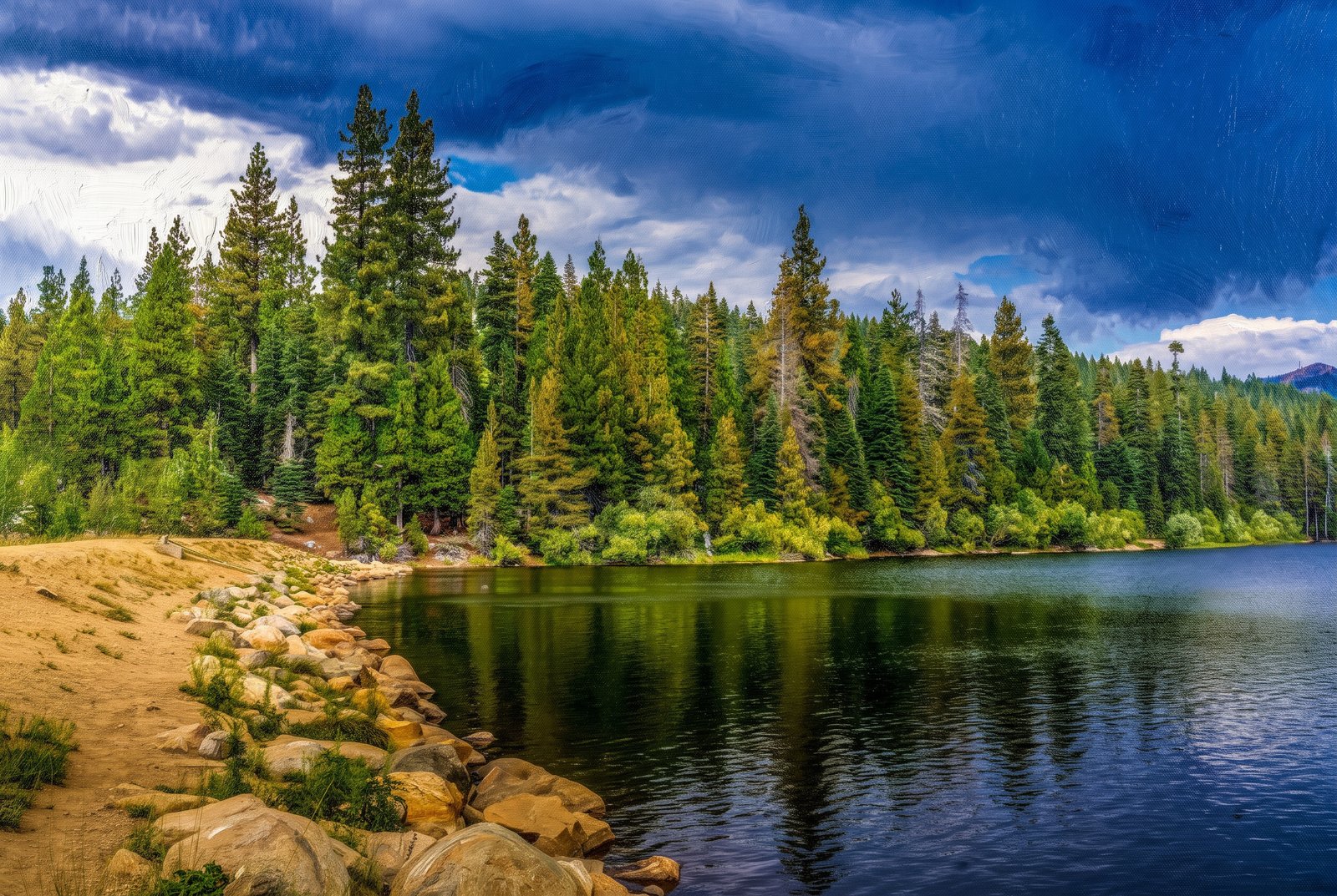 Painterly
Snowflower RV Reno
by Rick Billings, M. Photog., Cr.
Calm water at Snowflower Lake, the private stocked trout lake at Snowflower RV Resort in Emigrant Gap, California, stretches from a sandy, boulder-lined shore to a dense wall of pine and fir as a storm sky gathers overhead, high in the Sierra Nevada along Interstate 80 between Sacramento and Reno. Key Features: The Resort: Snowflower sits in the Sierra off I-80 at Exit 160, nearly 700 acres centered on the lake. The Lake: A 23-acre lake stocked with trout, with canoes and paddle boats for rent. Nearby: Reno is a short drive east, with casinos, shopping and restaurants.
Prints from $41Prints only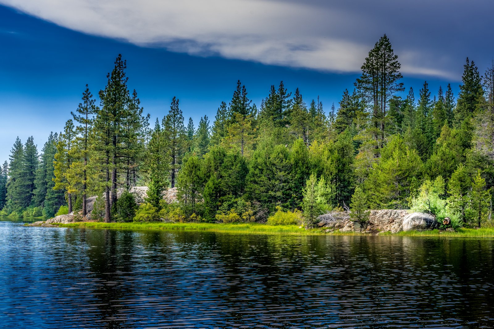
Snowflower Lake
by Rick Billings, M. Photog., Cr.
Sunlight breaks through a heavy bank of cloud over Snowflower Lake near Emigrant Gap, California, picking out a golden strip of shoreline grass and pale granite boulders among the Jeffrey and lodgepole pines that crowd down to the still, dark water. Key Features: The Setting: Snowflower RV Resort lies in the Sierra Nevada off Interstate 80 at Exit 160. The Lake: 23 acres, stocked with trout, with canoes and paddle boats for rent. The Landscape: Granite outcrops and mixed conifer forest mark this stretch of the northern Sierra.
Prints from $22Downloads from $19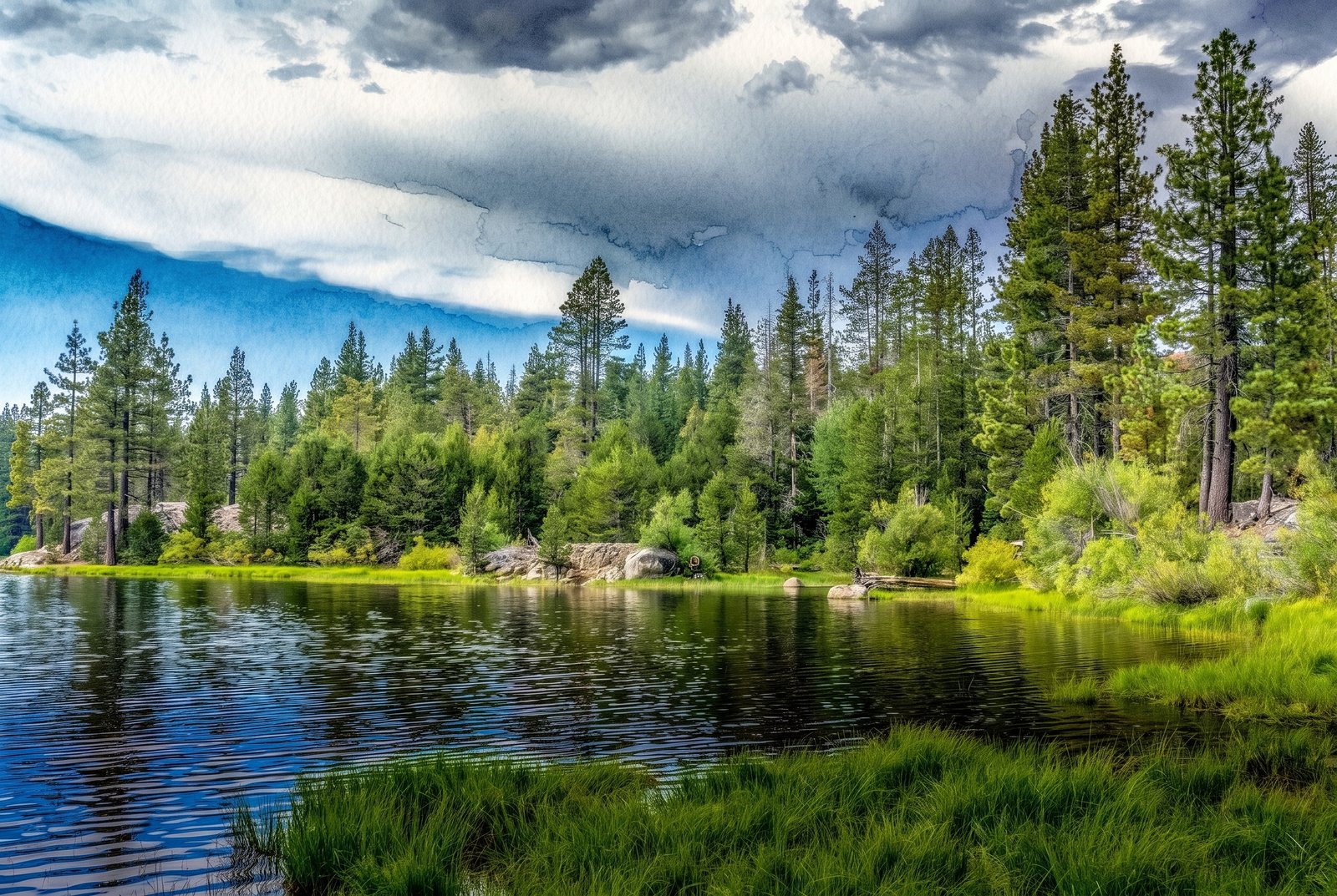 Watercolor
Snowflower Lake
by Rick Billings, M. Photog., Cr.
A passing summer storm breaks to blue sky over Snowflower Lake in Placer County, California, its clouds mirrored in the still, dark water beside a grassy, granite-studded shore and a dense stand of Jeffrey and ponderosa pine. Key Features: The Setting: The lake sits a short drive off Interstate 80 near Yuba Gap and Emigrant Gap, on the west side of Donner Summit, in the Tahoe National Forest area. Recreation: Fishing, swimming, kayaking, biking and hiking are favorites here. The Moment: Storm light clearing over the Sierra forest, caught in the calm surface of the lake.
Prints from $41Prints only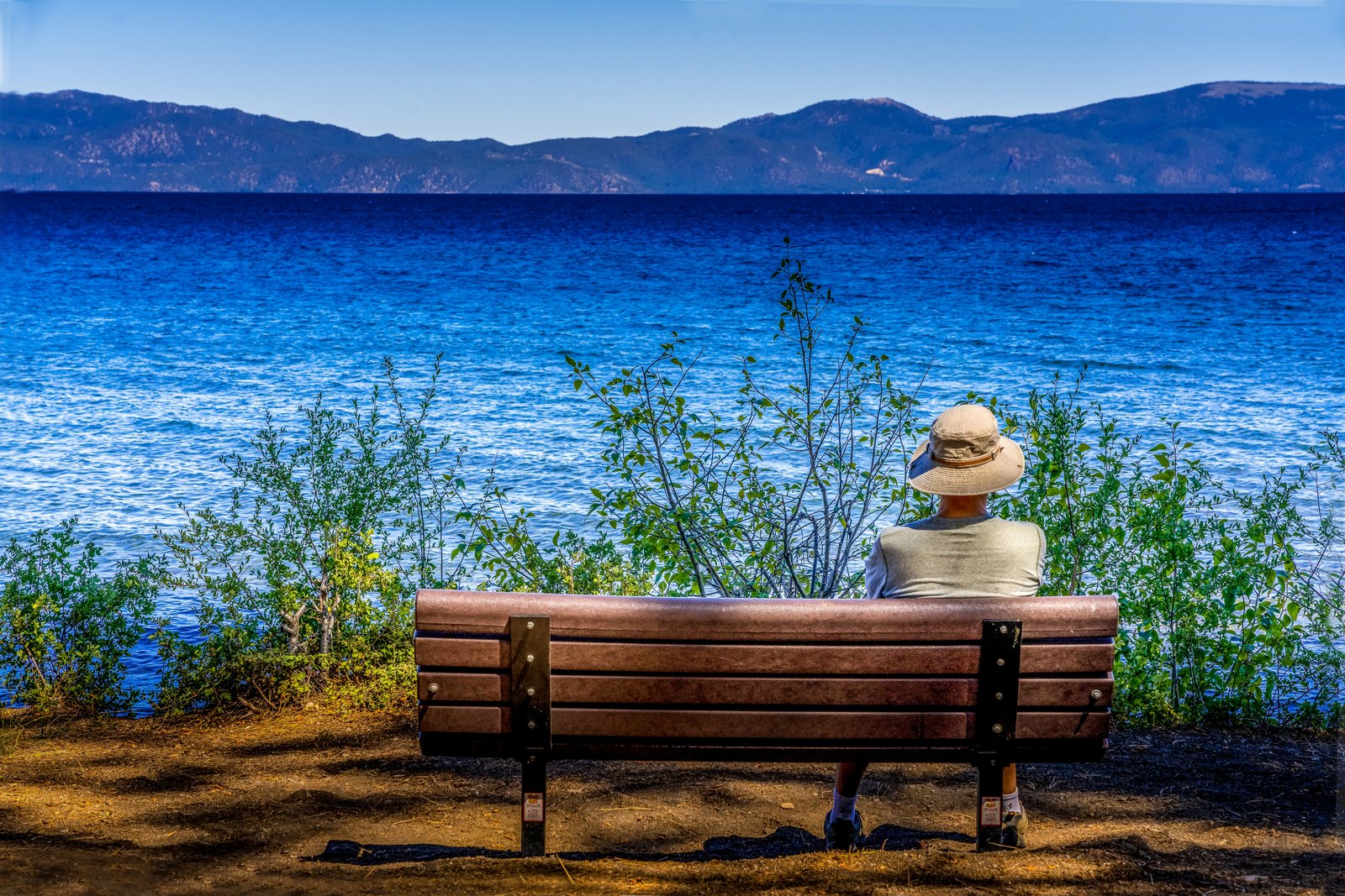
Lazy Day At Lake Tahoe
by Rick Billings, M. Photog., Cr.
A figure in a sun hat rests on a shoreline bench, taking in the vivid blue water of Lake Tahoe with the mountains of the Carson Range rising along the far shore, high in the Sierra Nevada on the California-Nevada line. Key Features: The Color: Tahoe's intense blue comes from sunlight in its exceptionally pure water. The Scale: North America's largest alpine lake, 22 miles long and 12 miles wide, and 1,645 feet at its deepest. The Origins: Faulting along the Carson Range formed the basin about two million years ago. The Elevation: The lake sits at 6,225 feet (1,897 meters).
Prints from $22Downloads from $19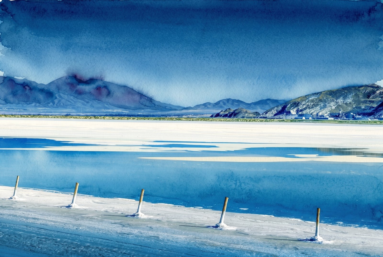 Watercolor
Utah Salt Flats
by Rick Billings, M. Photog., Cr.
A line of weathered wooden posts runs across a flooded stretch of salt flat on the shore of the Great Salt Lake in northern Utah, leading the eye to distant desert mountains and a cluster of industrial buildings at their base under a deep, saturated sky. Key Features: The Salt Industry: Solar evaporation ponds along the lake produce salt, sulfate of potash and magnesium chloride from its brine. The Process: Mineral-rich brine is pumped into a series of shallow ponds, where the sun evaporates the water over about three years and leaves beds of crystallized minerals. The Scale: One 55,000-acre pond complex here is among only four in the world that make sulfate of potash from natural brine by solar evaporation.
Prints from $41Prints only