

Collection
USA
By · 80 photos
 Watercolor
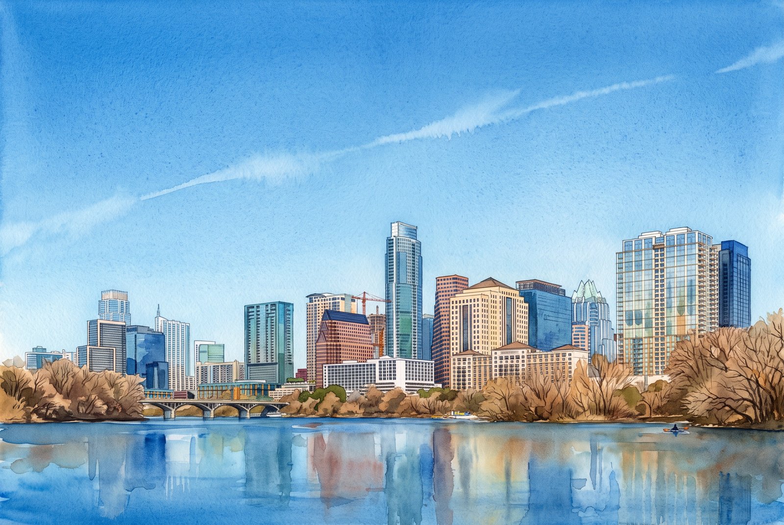
1179 Austin Texas
Downtown Austin, Texas, rises along the north bank of Lady Bird Lake, seen from the south shore across the water, with a low pedestrian bridge crossing in front and bare winter trees lining the bank. Key Features: The Skyline: Among the towers are several of Austin's tallest, including the Frost Bank Tower, the Austonian and the Four Seasons. Lady Bird Lake: The lake is the Colorado River, dammed in 1960, curving through the heart of the city. Rapid Growth: Hotels and residential towers have filled in the downtown skyline, among them the Austonian, for years the city's tallest building. The Waterfront: The trails and parks along the lake, from Butler Metro Park to Lou Neff Point near Zilker Park, are classic places to see the skyline over the river.
Prints from $41Prints only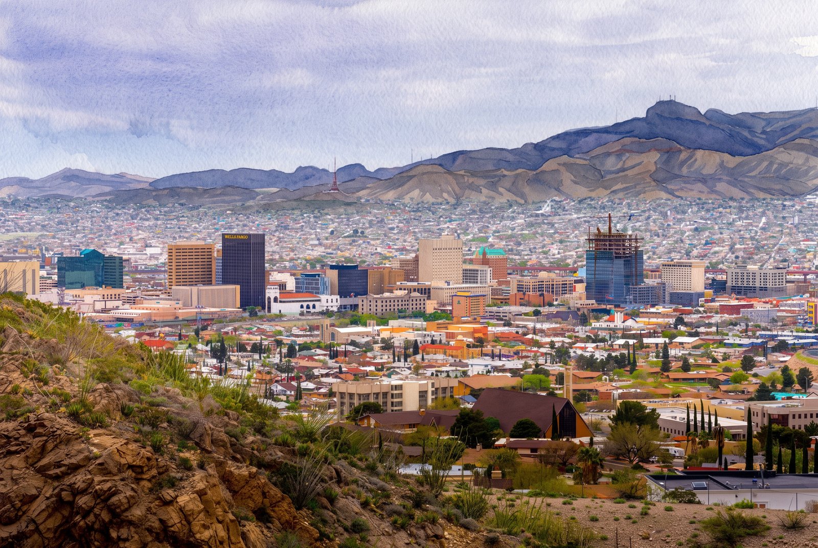 Watercolor
Glance Into Mexica From El Paso, Texas
From a rocky overlook on Scenic Drive in the foothills of the Franklin Mountains, desert scrub and boulders give way to the rooftops, church spires and mid-rise towers of downtown El Paso, Texas, including the Wells Fargo building, with the neighborhoods of Ciudad Juarez, Mexico, spreading across the haze beyond. Key Features: The Vantage Point: Scenic Drive is a two-lane road that climbs to a point 500 feet above the city and the Rio Grande. The Sister Cities: Its overlooks take in the El Paso skyline, Juarez and the country around them. The Mountains: The Franklin Mountains rise just north of downtown, with overlooks along both Rim Road and Scenic Drive. The Border City: El Paso faces Juarez across the Rio Grande, together one of the largest binational metro areas in the Western Hemisphere.
Prints from $41Prints only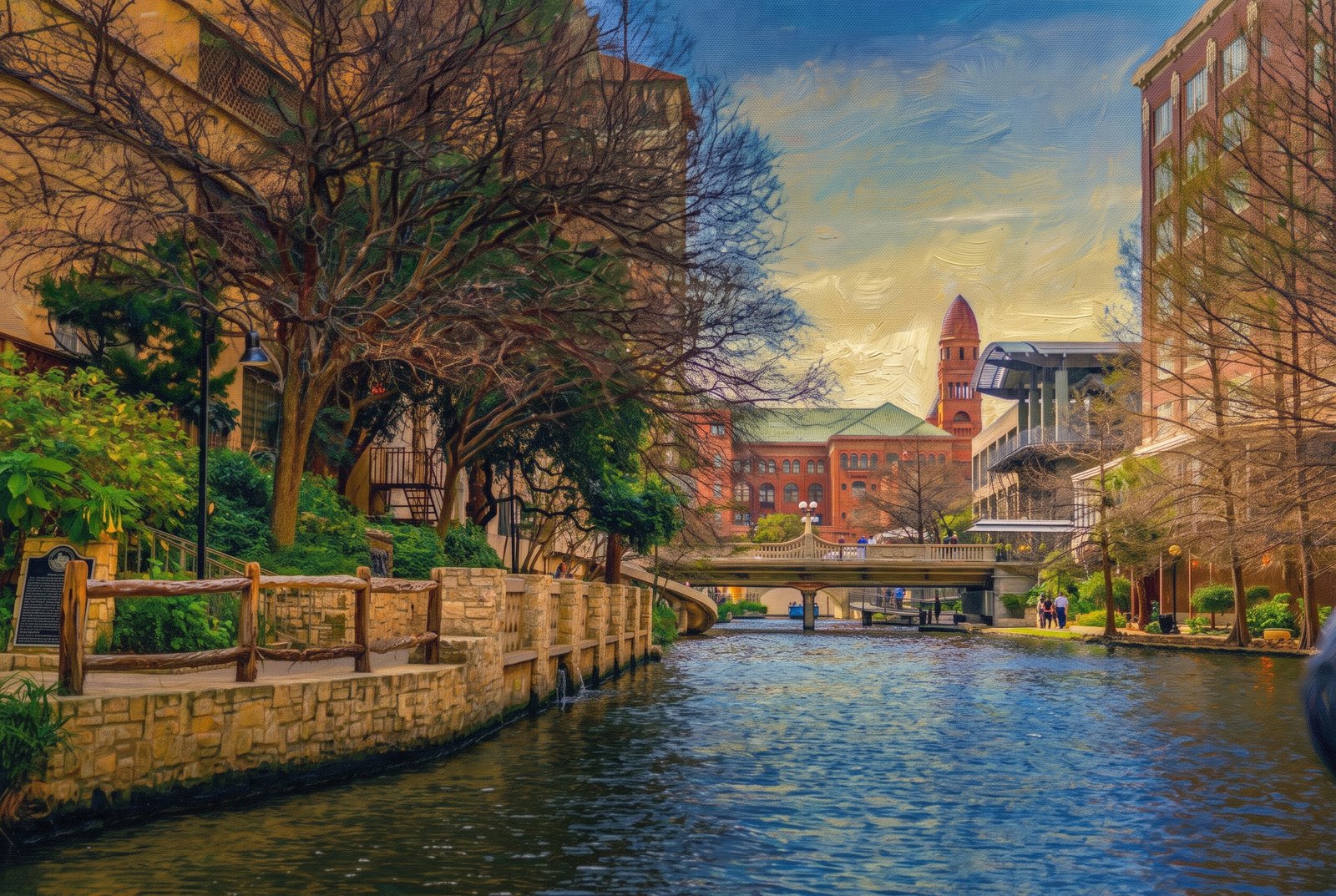 Impressionist
San Antonio, Texas
Stone walls, bald cypress and a curved footbridge frame a quiet stretch of the San Antonio River Walk in downtown San Antonio, Texas, with the red sandstone tower and green tile roof of the Bexar County Courthouse rising above the buildings beyond. Key Features: The River Walk: Landscaped walkways line the San Antonio River one level below the downtown streets, with cypress trees, stone footbridges and cafes. The Courthouse: Built of red sandstone, with one tower capped by a pyramid of green tile, it fills an entire city block and is the largest and oldest continuously operating courthouse in Texas. The Architecture: James Riely Gordon designed it in the Romanesque Revival style; its cornerstone was laid in 1892 and it was finished in 1897. The Setting: The courthouse stands on Main Plaza near the river's downtown bend, its tower showing above the trees to walkers and boat tours.
Prints from $41Prints only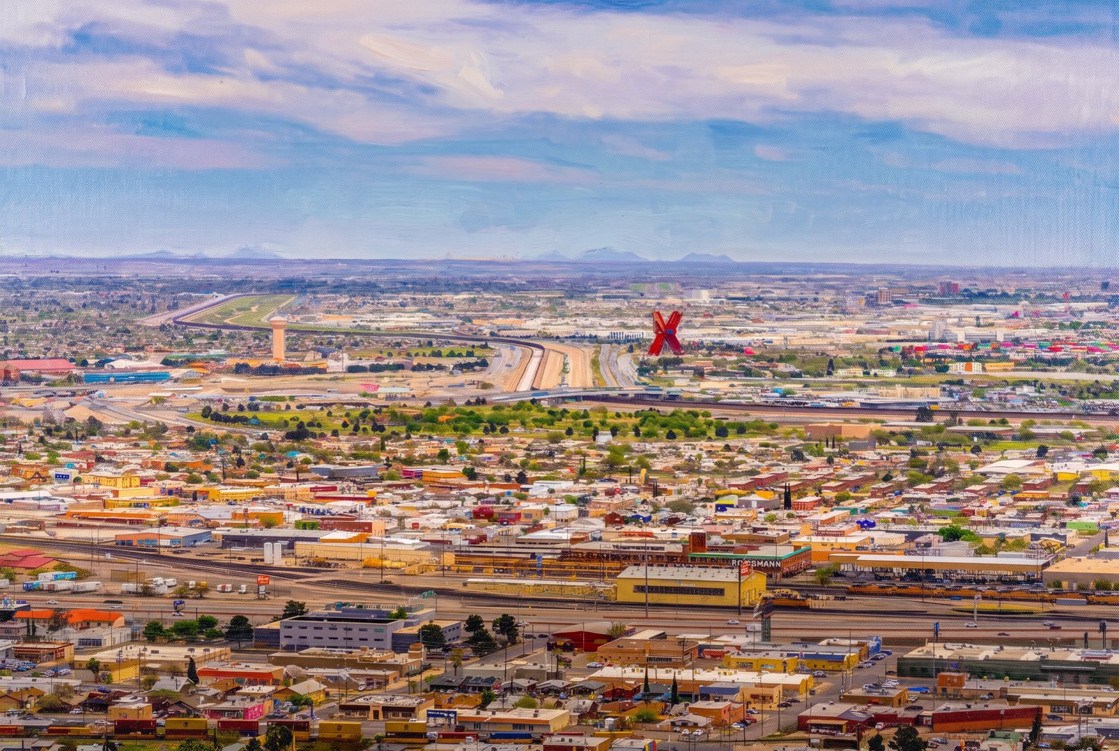 Impressionist
Looking Across Into Mexica From El Paso TX
From high above El Paso, Texas, the view runs south across the Rio Grande and the border fence into Ciudad Juarez, Mexico, where a towering red X rises over a dense grid of colorful rooftops, rail yards and the highway that traces the border. Key Features: The Monument: The Monumento a la Mexicanidad, known as La X or La Equis, is a 64-meter sculpture in the shape of a red letter X. The Designer: Mexican sculptor Enrique Carbajal Gonzalez, known as Sebastian, designed its two crossing towers to stand for the meeting of two cultures. The Location: It stands on the south bank of the Rio Grande, right on the border between Juarez and El Paso. The Twin Cities: Rail lines, warehouses and packed neighborhoods fill the valley on both sides of the border, stretching to the desert mountains on the horizon.
Prints from $41Prints only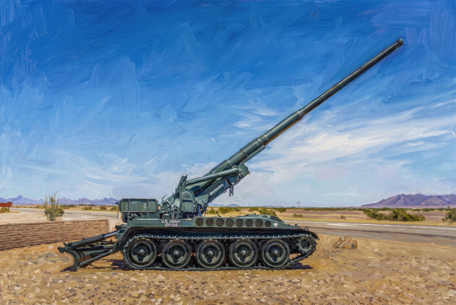 Painterly
US ARMY Yuma AZ
A retired M110 self-propelled howitzer stands on static display at the entrance to the U.S. Army Yuma Proving Ground near Yuma, Arizona, its long 8-inch barrel raised against a deep blue sky above a paved highway, the flat Sonoran Desert and distant mountain ranges. Key Features: The Weapon: The M110 is an 8-inch (203mm) tracked howitzer the Army fielded from the 1960s through the Cold War for long-range fire support. The Proving Ground: One of the Army's largest testing installations, Yuma has tested weapons, vehicles and equipment in extreme desert heat since the 1940s. The Display: Retired artillery like this stands at the gates of many military posts, honoring the units that served with it. The Landscape: Flat, arid desert and rugged mountains mark the lower Colorado River desert of southwestern Arizona.
Prints from $41Prints only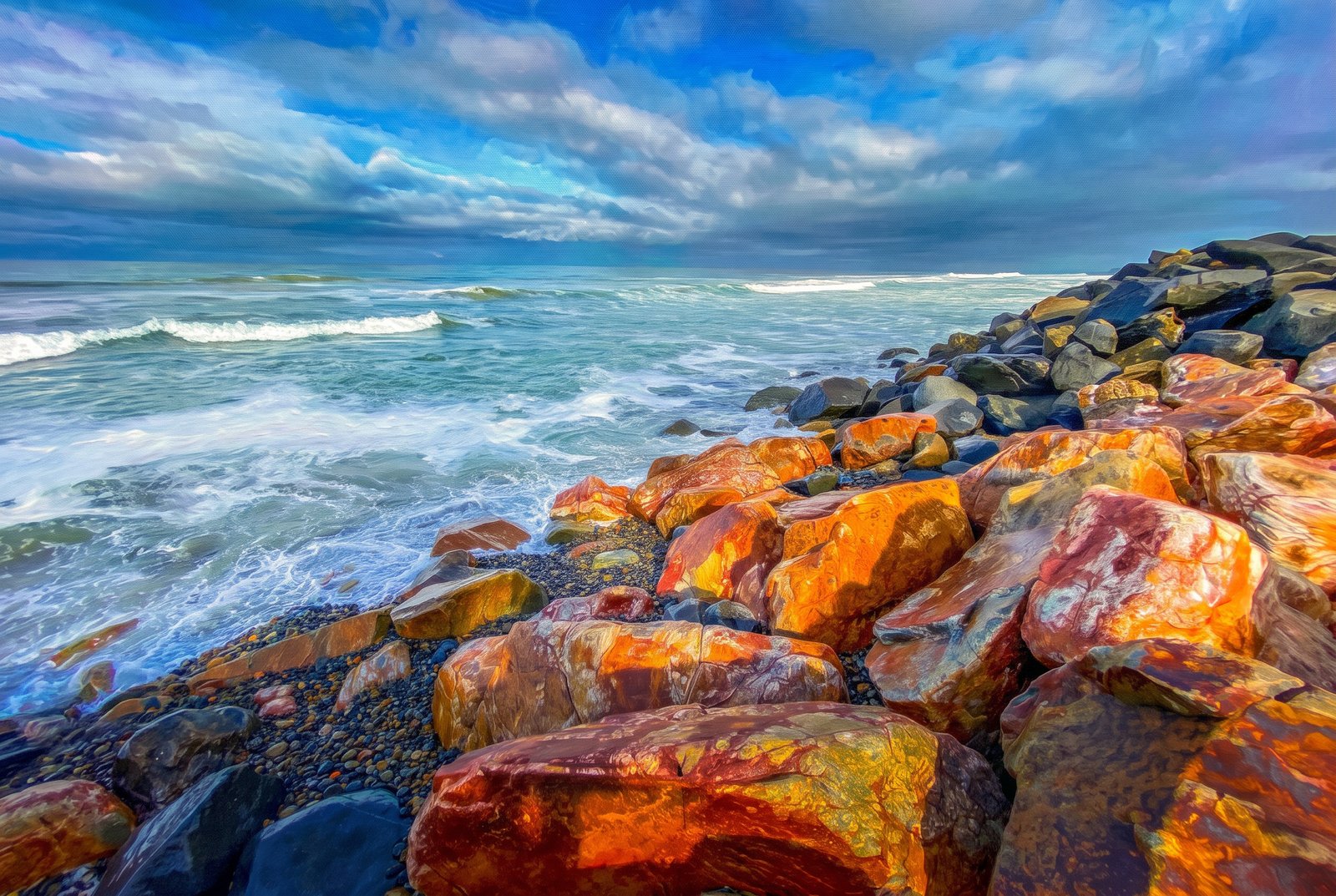 Impressionist
Carlsbad California
Oceanside, California
Sunset light rakes across a rugged rock jetty at the mouth of Buena Vista Lagoon, where Carlsbad meets Oceanside on the San Diego County coast, turning the boulders rust and gold while cool blue surf breaks on the pebble shore beyond. Key Features: The Lagoon: The 350-acre freshwater lagoon sits on the border between Carlsbad and Oceanside. The Jetties: Fishing is allowed only from the rock jetties at the lagoon's mouth, the stones catching the evening light here. A Rare Habitat: Buena Vista is the only freshwater lagoon in California, home to dozens of kinds of migrant and resident waterfowl. The Colors: Iron in the boulders gives them warm rust tones against the cold Pacific blue.
Prints from $41Prints only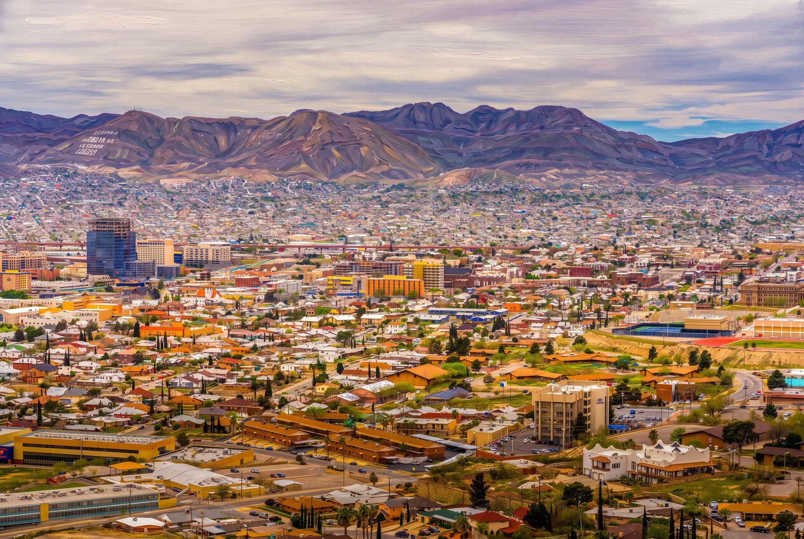 Painterly
El Paso Texas - Cojuarez Mexico
From high on the Franklin Mountains above El Paso, Texas, the city's rooftops run together with Ciudad Juarez, Mexico, across the Rio Grande, while downtown El Paso's office towers rise on the left and whitewashed letters spell out a message on the far ridge in Mexico. Key Features: The Message: The letters on Cerro Bola in Juarez read "CD Juarez. La Biblia es la Verdad. Leela," meaning "City of Juarez. The Bible is the Truth. Read It." Twin Border Cities: Interstate 10 roughly follows the Rio Grande between the two cities, which together form one of the largest metro areas on the U.S.-Mexico border. The Pass: El Paso sits where the Rio Grande comes out of the mountains, at the foot of the Franklins. The Overlook: The drive up Rim Road to Scenic Drive looks down on the two cities in a horseshoe, downtown El Paso on one side and Juarez climbing the hills opposite.
Prints from $41Prints only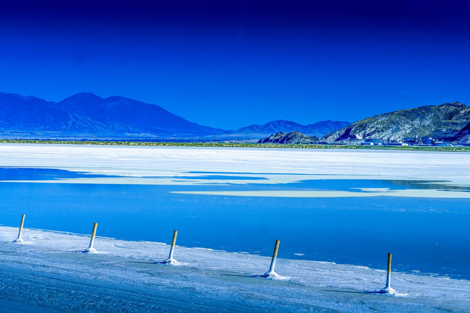
Utah Salt Flats
A line of weathered wooden posts runs across a flooded stretch of salt flat on the shore of the Great Salt Lake in northern Utah, leading the eye to distant desert mountains and a cluster of industrial buildings at their base under a deep, saturated sky. Key Features: The Salt Industry: Solar evaporation ponds along the lake produce salt, sulfate of potash and magnesium chloride from its brine. The Process: Mineral-rich brine is pumped into a series of shallow ponds, where the sun evaporates the water over about three years and leaves beds of crystallized minerals. The Scale: One 55,000-acre pond complex here is among only four in the world that make sulfate of potash from natural brine by solar evaporation.
Prints from $22Downloads from $19