


Photographer
Rick Billings, M. Photog., Cr.
Orlando, Florida
I've been a professional photographer since I graduated high school in 1978. I'm bringing over four decades of professional photography experience and offering images I captures as beautiful display prints in your home or office.
Collections
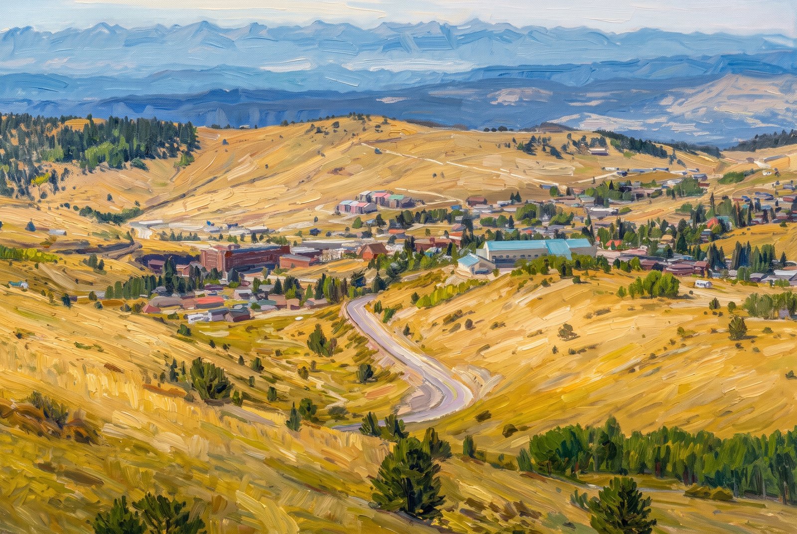
USA
80 photos
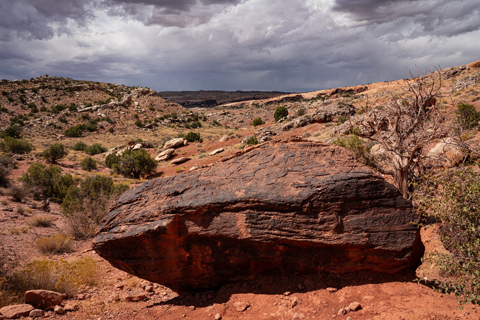
Arches, Bryce Canyon, Moab & Zion National Park - Utah
15 photos
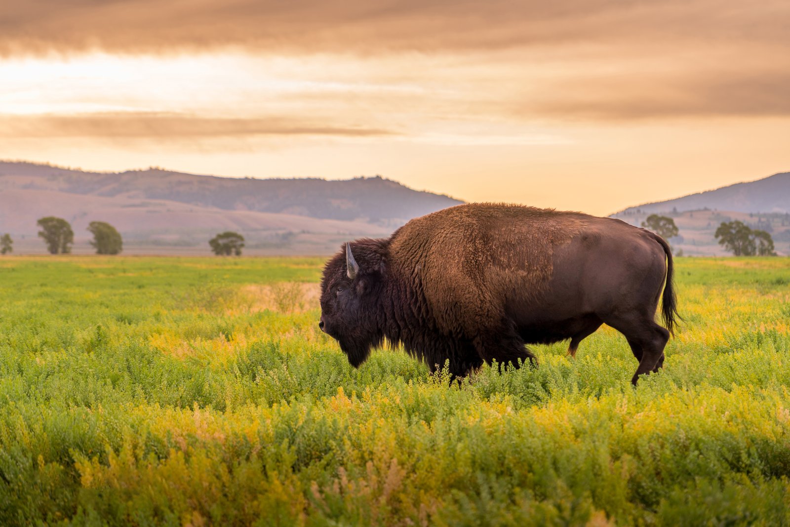
Yellowstone National Park, Wyoming
32 photos
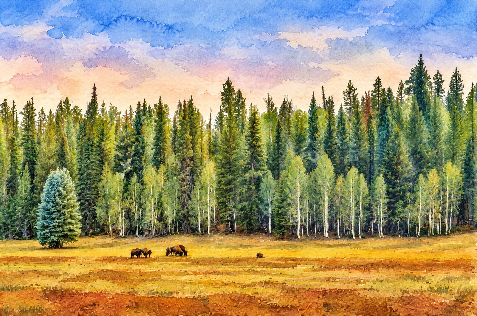
Grand Canyon National Park - Arizona
22 photos
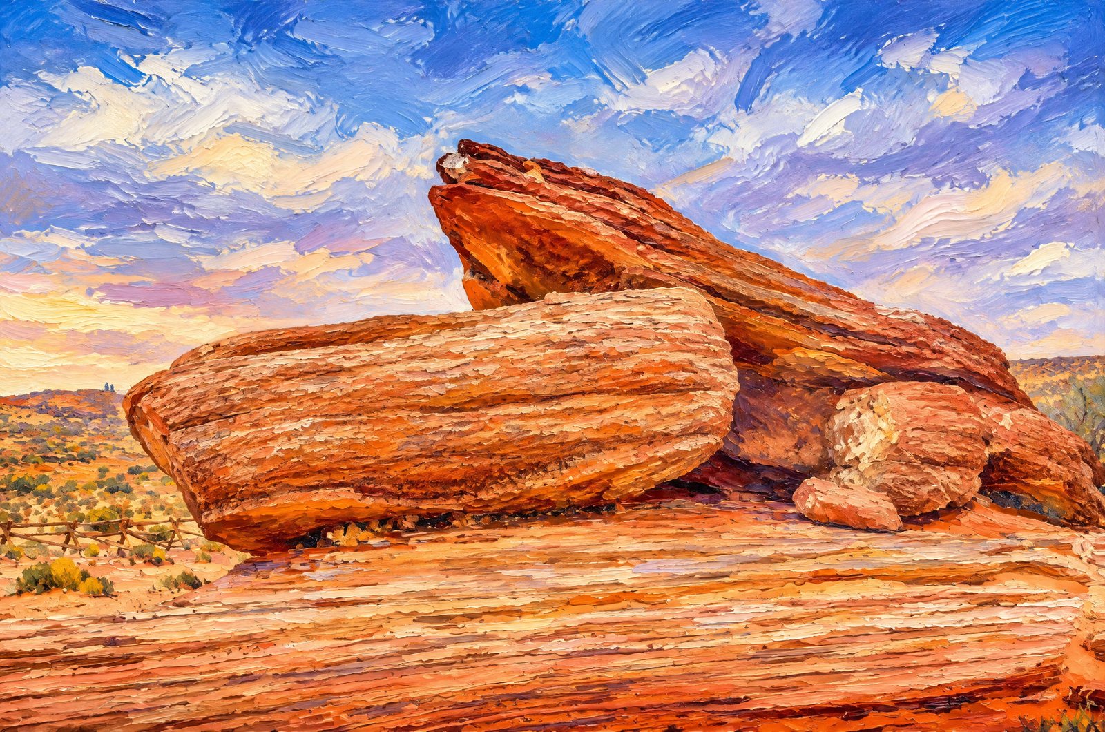
Lake Powell Page - Arizona
26 photos
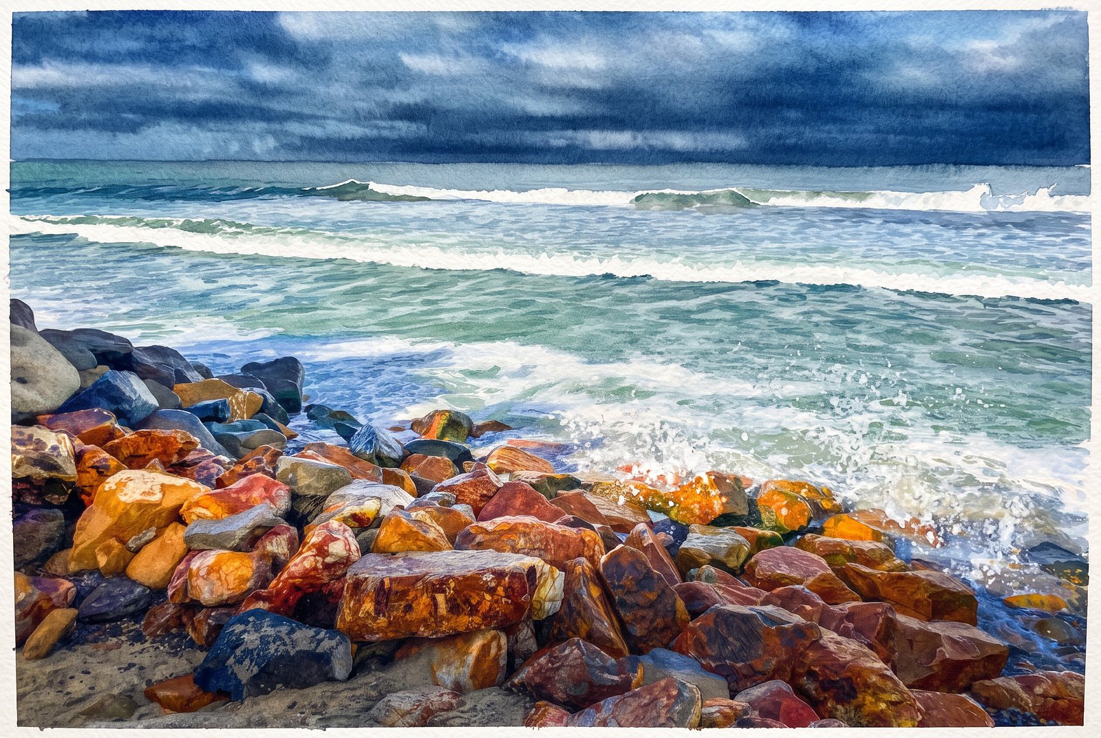
Pacific Coast, USA
36 photos
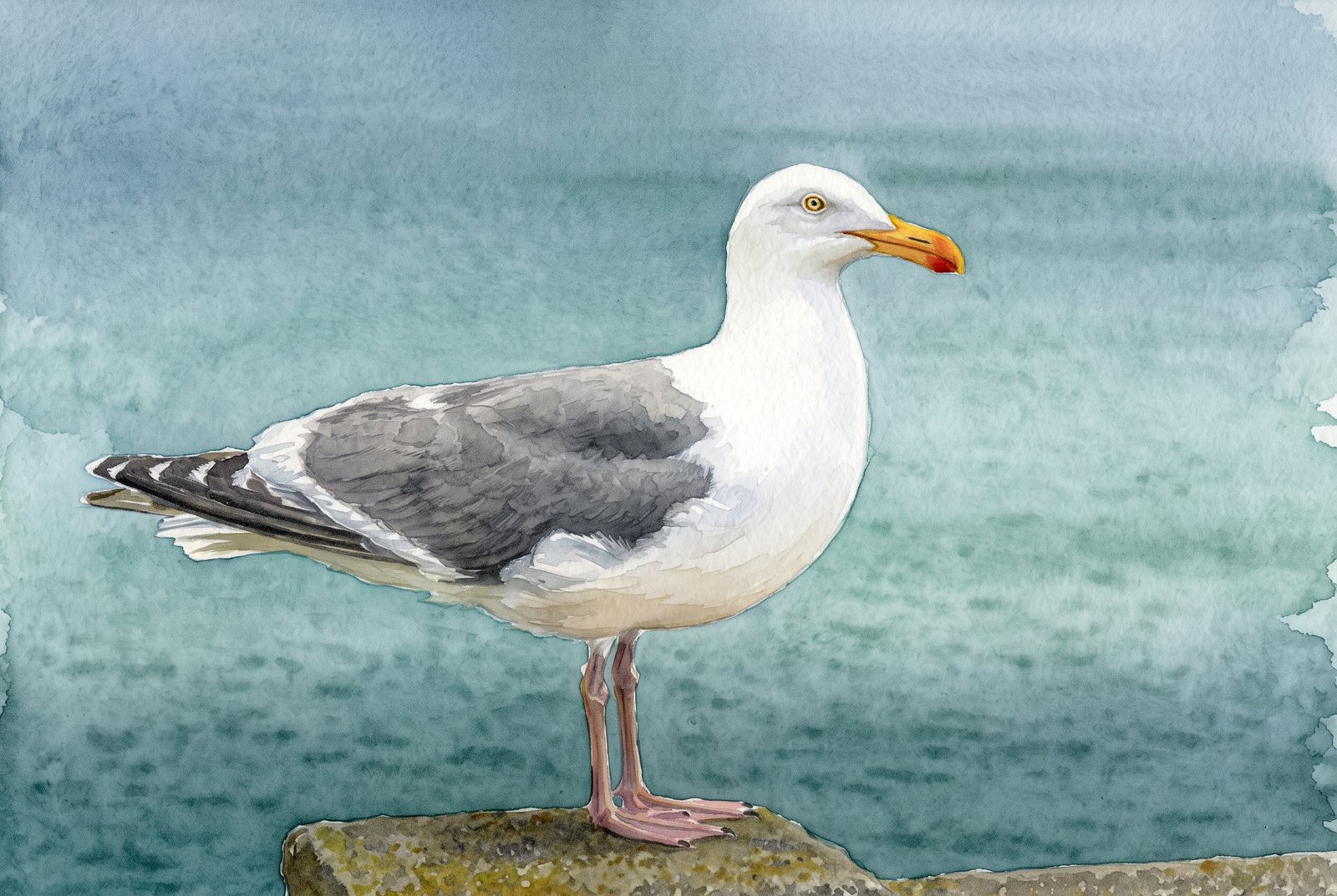
Animals
15 photos
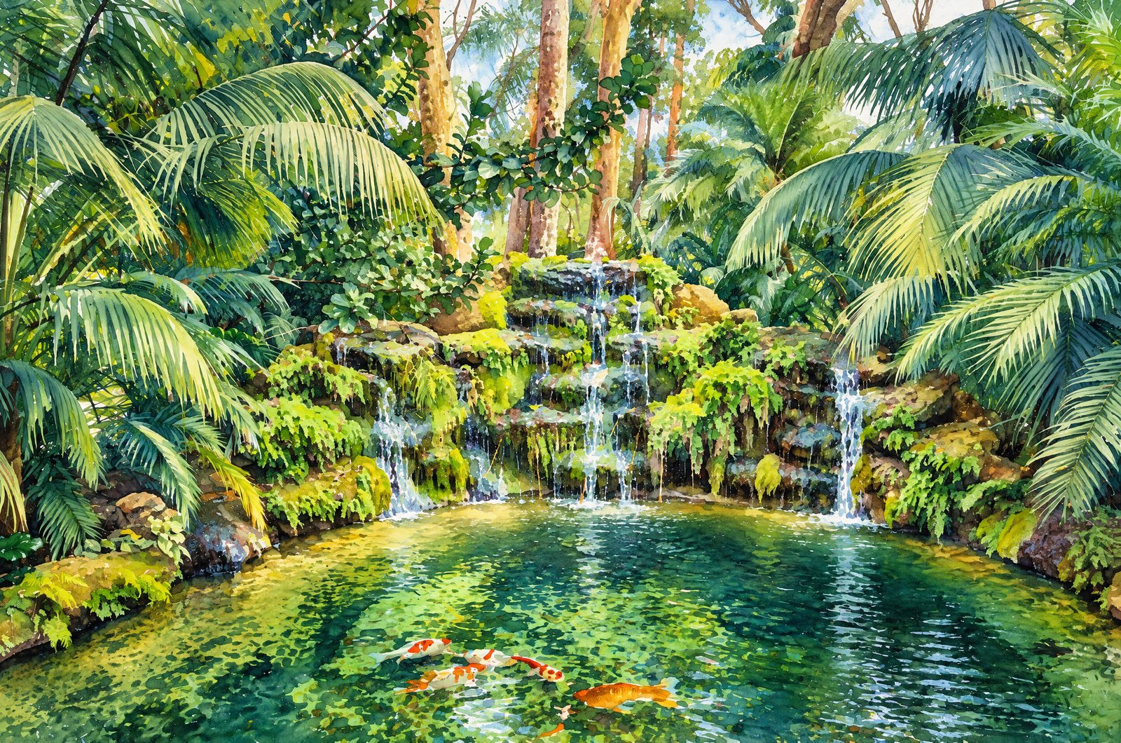
Flowers
18 photos
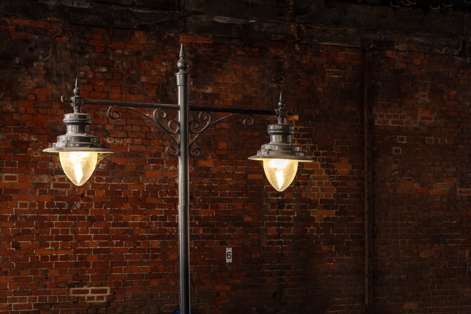
United Kingdom
15 photos
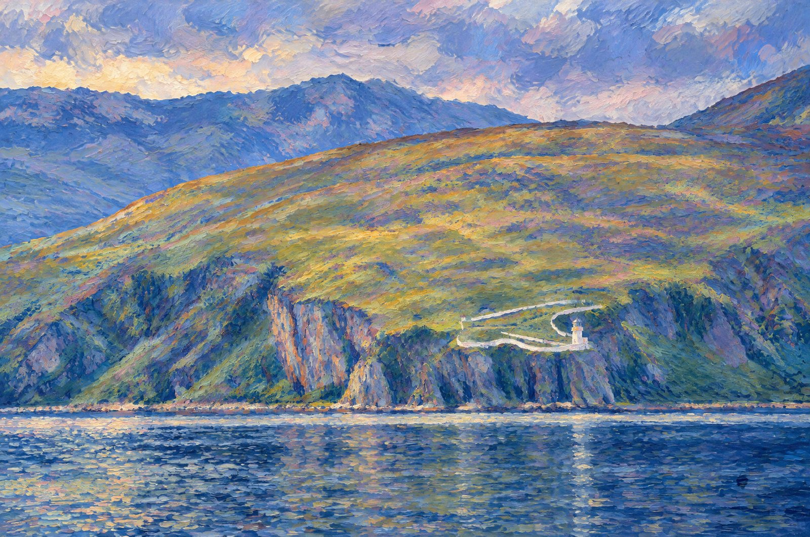
Scotland
54 photos
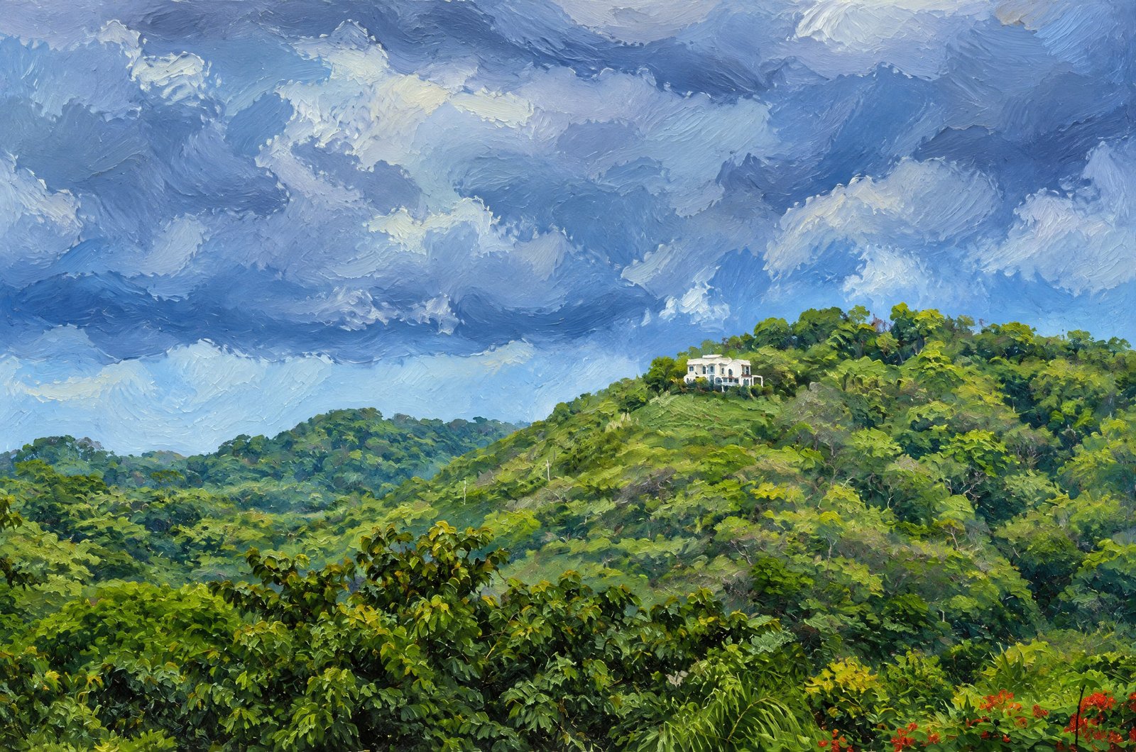
Costa Rica
2 photos
All Photos By Rick Billings, M. Photog., Cr.
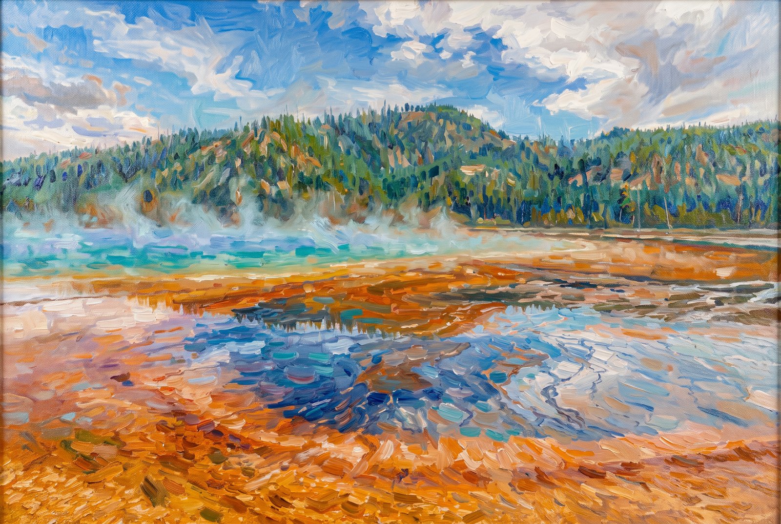 Impressionist
Grand Prismatic Spring, Midway Geyser Basin Of Yellowstone National Park In Wyoming
Grand Prismatic Spring, in the Midway Geyser Basin of Yellowstone National Park, is the largest hot spring in the United States and the third largest in the world. Key Features: The Colors: The deep blue center comes from the depth and clarity of the water, which absorbs red light. The yellow, orange and red bands around it are mats of heat-loving (thermophilic) bacteria growing in the cooler, shallow edges. The Scale: The spring is about 370 feet (110 meters) across and more than 120 feet (37 meters) deep, pouring scalding water into the nearby Firehole River. The View: From ground level, the terraced bacterial mats and rising steam stand out against the park's lodgepole pine forest.
Prints from $166Prints only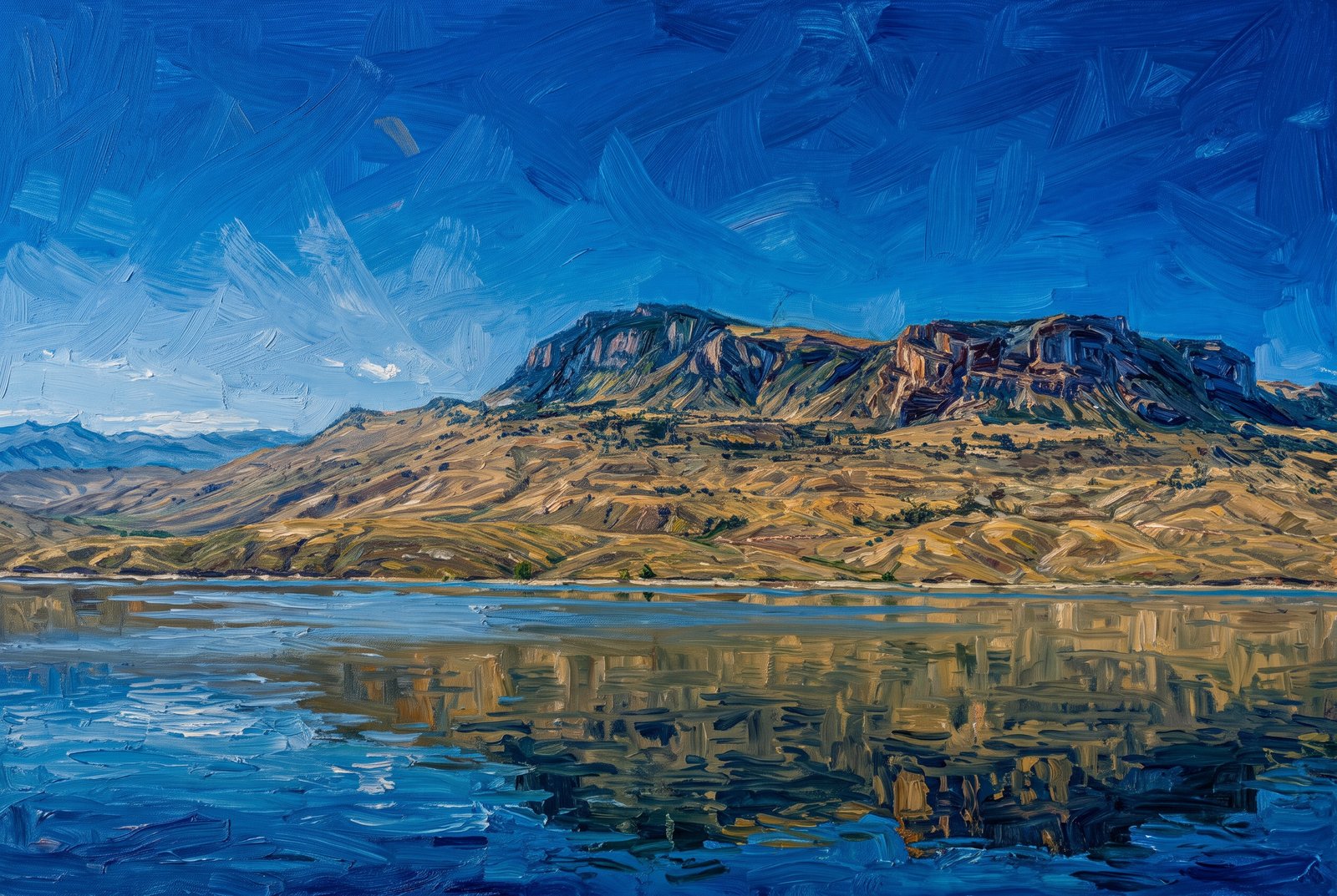 Painterly
Bighorn Canyon National Recreation Area, Border Of Wyoming And Montana
Bighorn Lake winds between the high canyon walls of the northern Bighorn Mountains, where layered sedimentary rock reflects in the deep blue water of the reservoir. Key Features: The Reservoir: Bighorn Lake formed behind the Yellowtail Dam, built on the Bighorn River in the 1960s. It stretches more than 71 miles, cutting straight through the rock formations. The Geology: The exposed limestone cliffs hold millions of years of geological history, and the stark, arid canyons draw researchers and outdoor lovers alike. Recreation: The lake sits within Bighorn Canyon National Recreation Area, known for boating, fishing, wild horses and steep trails along the canyon rims.
Prints from $41Prints only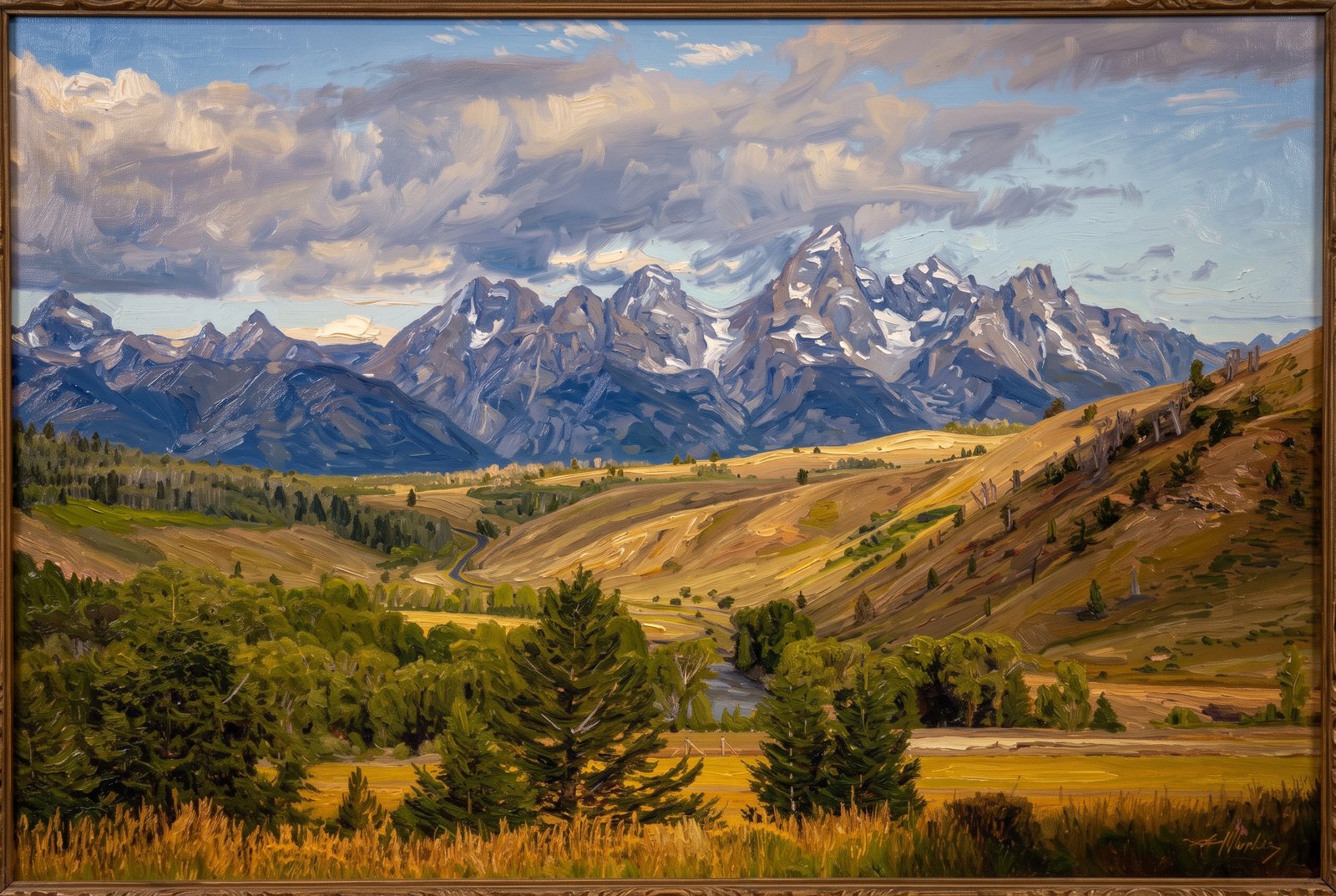 Painterly
Schwabacher Landing Area Near The Teton Range In Grand Teton National Park, Wyoming
Below the Teton Range, the Snake River winds through its valley past rolling sagebrush hills and groves of cottonwoods, typical of the park's eastern side. Grand Teton, Mount Owen and Teewinot Mountain fill the skyline under a dramatic, cloudy sky.
Prints from $41Prints only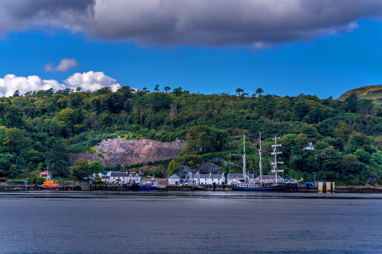
Tobermory Harbour On The Isle Of Mull In Scotland
Tobermory Harbour on the Isle of Mull, along the wooded banks of the Sound of Mull: the CalMac ferry pier, with the slipway of the RNLI Tobermory Lifeboat Station on the left. Moored at the pier is the Thalassa, a Dutch barquentine tall ship.
Prints from $22Downloads from $19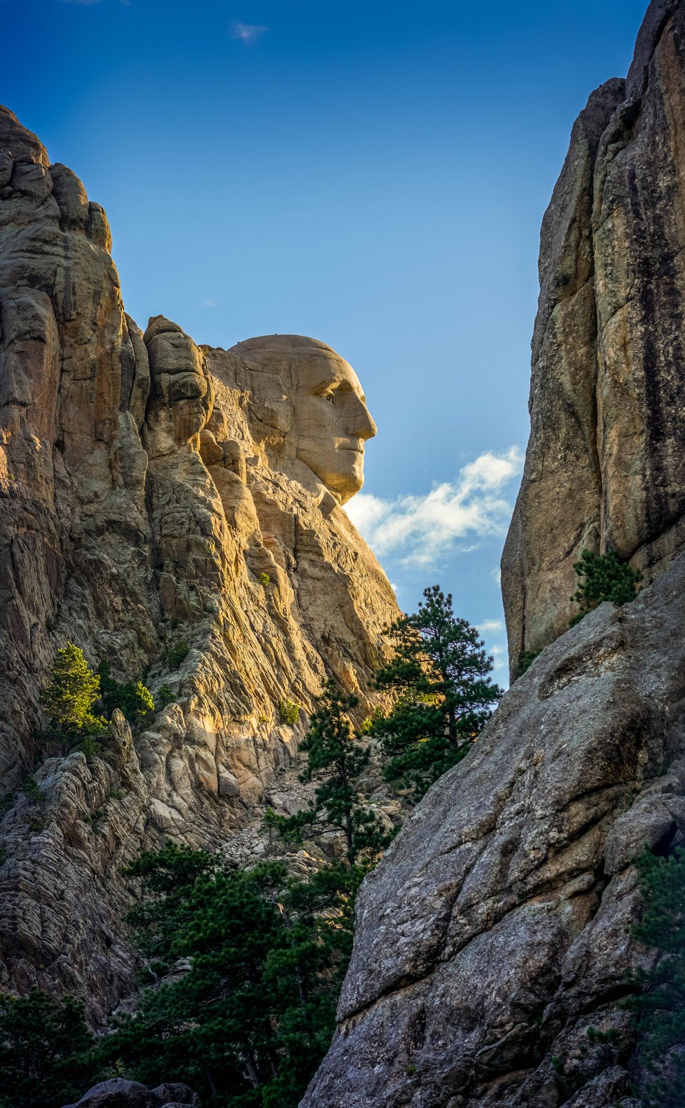
Unique Profile George Washington At Mount Rushmore National Memorial, Black Hills, South Dakota
George Washington in profile at Mount Rushmore National Memorial, a side view of the sculpture that visitors at the Grand View Terrace never see, framed by the surrounding granite. Key Features: The Profile: From this angle only Washington's face is in view, showing the precision of sculptor Gutzon Borglum's work on the granite cliff. The Scale: The face is about 60 feet (18 meters) tall, rising above the ponderosa pine forest and rugged rock of the Black Hills. The History: Carved between 1927 and 1941, the memorial also includes Thomas Jefferson, Theodore Roosevelt and Abraham Lincoln, just out of view to the right.
Prints from $22Downloads from $19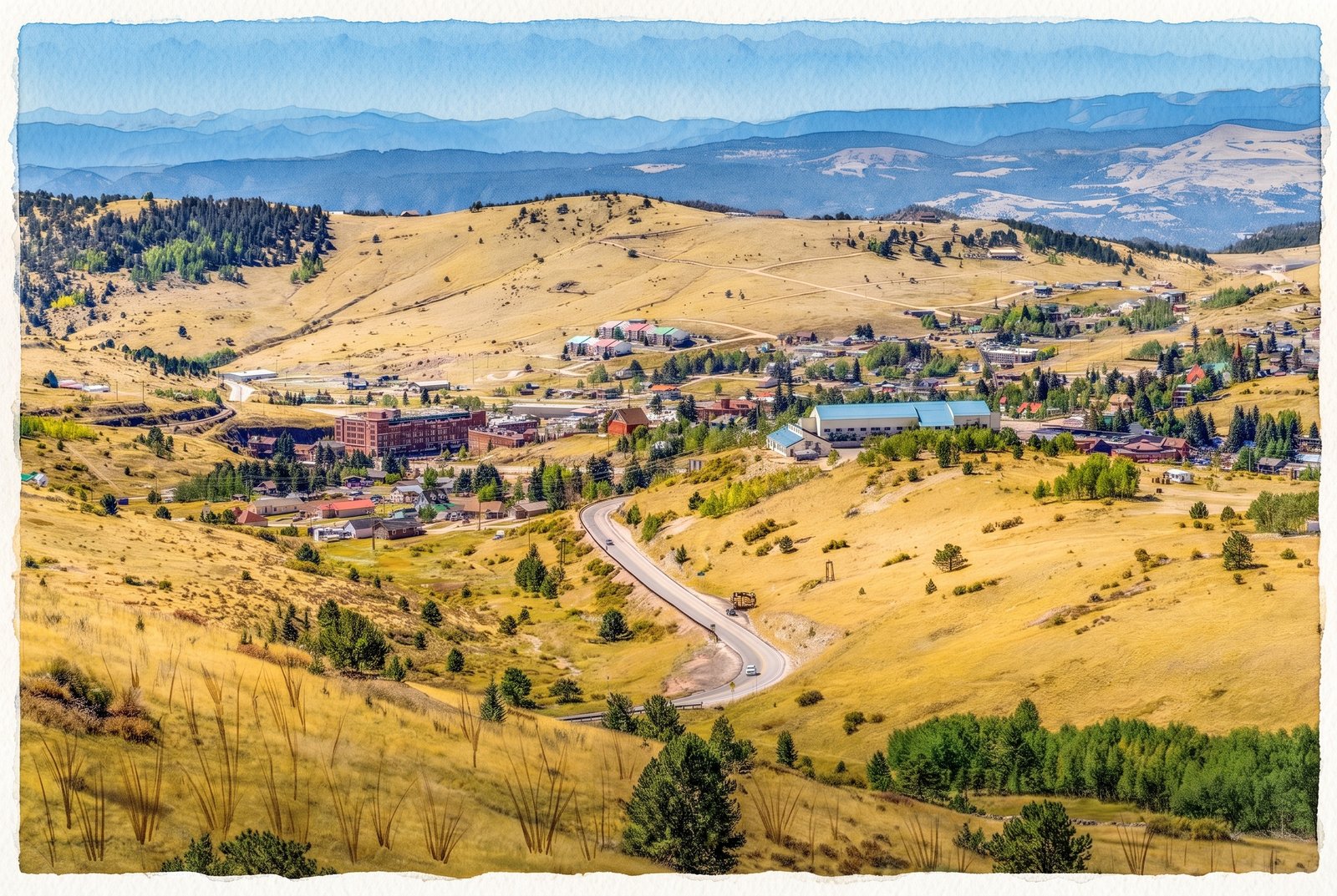 Watercolor
Historic Mountain Town Of Cripple Creek, Colorado
Colorado State Highway 67 winds down the hillside into Cripple Creek in this view looking southwest from a scenic pull-off above the historic gold mining town. Key Features: The Town: At 9,494 feet (2,894 meters), the 1890s gold rush camp spreads across a high valley floor. The large building with the long blue roof on the right is the Cripple Creek-Victor High School campus. The Backdrop: The jagged Sangre de Cristo Mountains, a subrange of the Rockies that stays snow-capped well into the warmer months, run along the far horizon. The History: The hills around town are part of the Cripple Creek Historic District, site of the greatest gold boom in Colorado history.
Prints from $41Prints only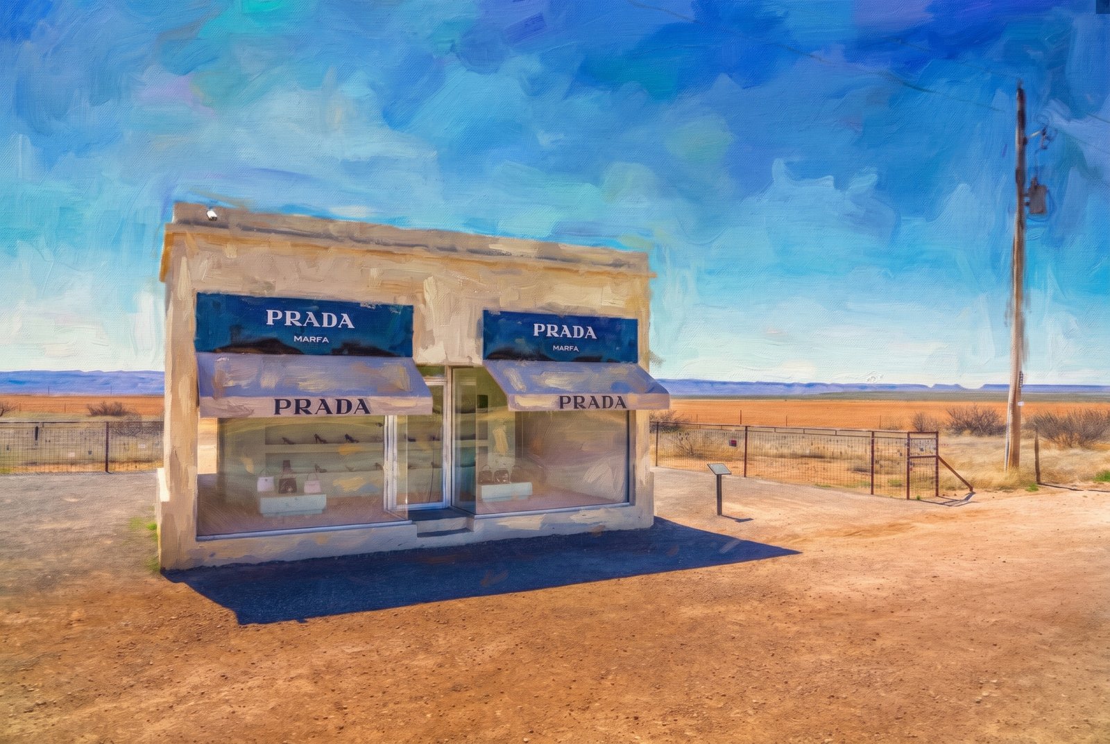 Impressionist
Prada Marfa, Valentine, Texas
Prada Marfa stands alone beside a desolate stretch of U.S. Highway 90 in Jeff Davis County, Texas, about 26 miles northwest of Marfa itself, despite its name. Key Features: The Concept: Created in 2005 by Elmgreen and Dragset, the "pop architectural land art" piece looks exactly like a luxury storefront. It was made as a comment on consumerism and gentrification, left to weather slowly into the Chihuahuan Desert. The Inventory: Its glass windows hold genuine Prada shoes and handbags from the Fall/Winter 2005 collection, chosen by Miuccia Prada herself. The Landscape: Gravel pull-offs, a barbed-wire fence, sparse desert scrub, a lone utility pole and the flat Texas horizon are all that surround it.
Prints from $41Prints only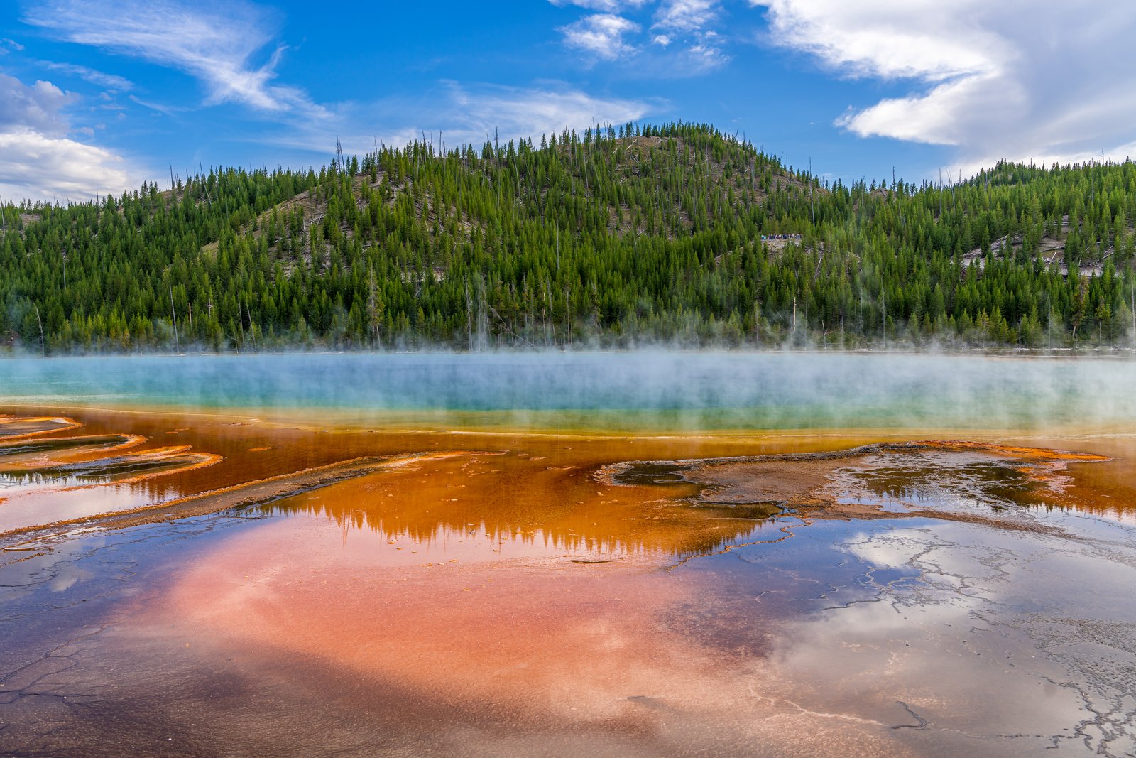
Grand Prismatic Spring
Steam drifts across a forested hillside at Grand Prismatic Spring in the Midway Geyser Basin of Yellowstone National Park, as the spring's mineral-rich runoff spreads in bands of amber and rust and its blue heart glows faintly beyond the mist. Key Features: The Spring: The largest hot spring in Yellowstone and the third largest in the world. The Colors: Bands of orange, yellow and green ring its deep blue water. The Cause: The water cools in rings from the center outward, and different heat-loving bacteria live in each ring, so the colors shift with the seasons. The Boardwalk: Visitors stay on the boardwalk; the water is dangerously hot and touching it is prohibited.
Prints from $22Downloads from $19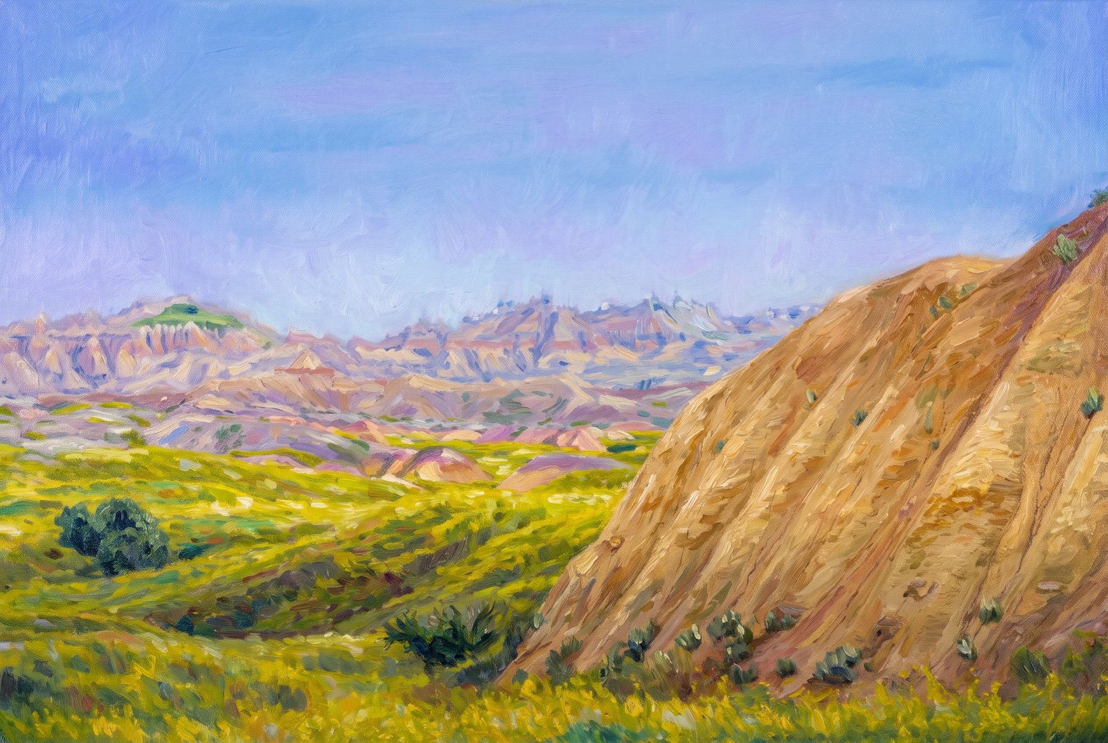 Impressionist
Badlands Yellow Mounds
Rolling green prairie gives way to a striped golden mound at the Yellow Mounds Overlook in Badlands National Park, South Dakota, with the pale, jagged Badlands Wall rising in the distance. Key Features: The Yellow Mounds: These bright layers are paleosols, ancient fossilized soils, colored mustard yellow by the mineral goethite. Ancient Seabed: The golden soil formed when an ancient sea retreated and exposed dark ocean mud, which weathered into the yellow paleosol seen here. The Rock Record: The Chadron Formation above these mounds, mostly light gray claystone, was laid down about 37 to 34 million years ago on an ancient floodplain. The Prairie: The green grassland is part of the mixed-grass prairie that borders the park's eroded buttes and spires.
Prints from $41Prints only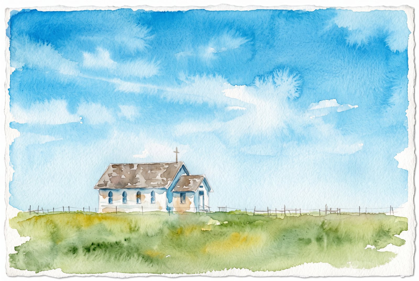 Watercolor
1880 Town Church
A small white clapboard church with pointed gothic windows and a wooden cross on its gabled roof stands alone behind a split-rail fence at South Dakota's Original 1880 Town, a recreated pioneer village on Interstate 90 near Murdo. The open grassland running to the horizon is the homestead country the village recalls. Key Features: The Village: More than 30 authentic buildings from 1880 to 1920, moved from towns across the region and refurnished with period pieces. The Setting: West of Murdo along Interstate 90, on open prairie, with Main Street running toward the horizon. The Church: Its steeple, wood frame and arched windows are typical of the small chapels early homesteaders built on the Dakota plains.
Prints from $41Prints only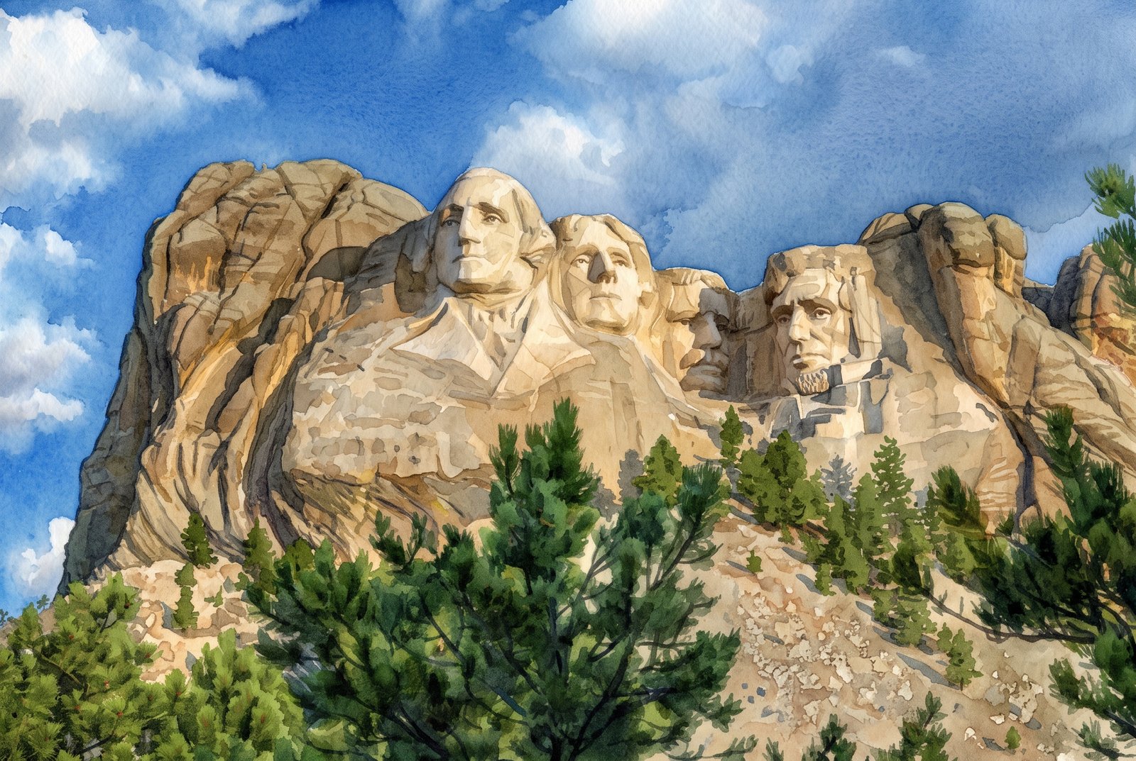 Watercolor
Mount Rushmore National Memorial
Looking up from a pine-covered slope near Keystone, the granite faces of Mount Rushmore National Memorial rise above the Black Hills against blue sky and scattered clouds. Key Features: The Sculpture: The 60-foot faces of George Washington, Thomas Jefferson, Theodore Roosevelt and Abraham Lincoln, carved into granite. The Construction: Carved between 1927 and 1941; funding problems made the work take longer than planned. The Setting: The mountain sits in the Black Hills, about twenty miles from the nearest city. The Draw: Remote as it is, the memorial welcomes about two million visitors a year.
Prints from $41Prints only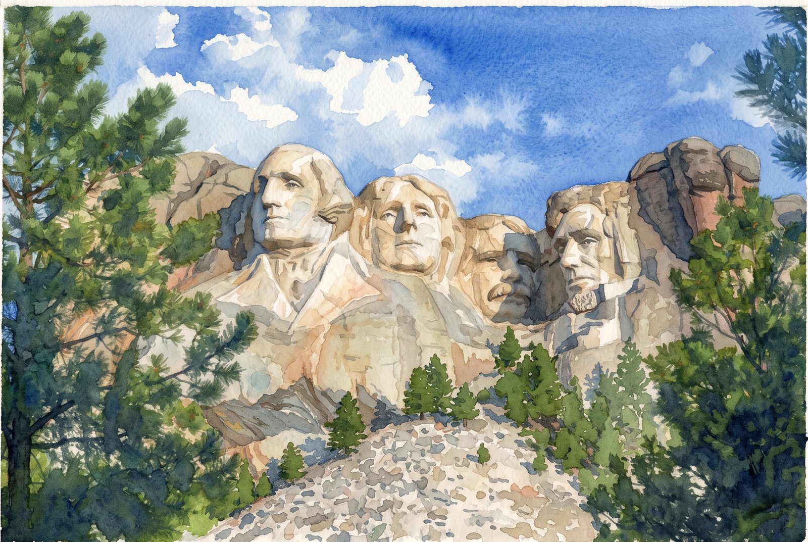 Watercolor
Mount Rushmore National Memorial
Ponderosa pines frame the granite cliff of Mount Rushmore National Memorial from below, near Keystone in the Black Hills of South Dakota. The sixty-foot carved heads of Presidents George Washington, Thomas Jefferson, Theodore Roosevelt and Abraham Lincoln stand against a bright blue sky above a rocky talus slope. Key Features: The Sculptors: Gutzon Borglum carved the memorial with his son, Lincoln Borglum. The Subjects: From left to right, George Washington, Thomas Jefferson, Theodore Roosevelt and Abraham Lincoln. The Timeline: Gutzon Borglum began drilling into the mountain in 1927. The Setting: Pennington County, South Dakota, near the town of Keystone.
Prints from $41Prints only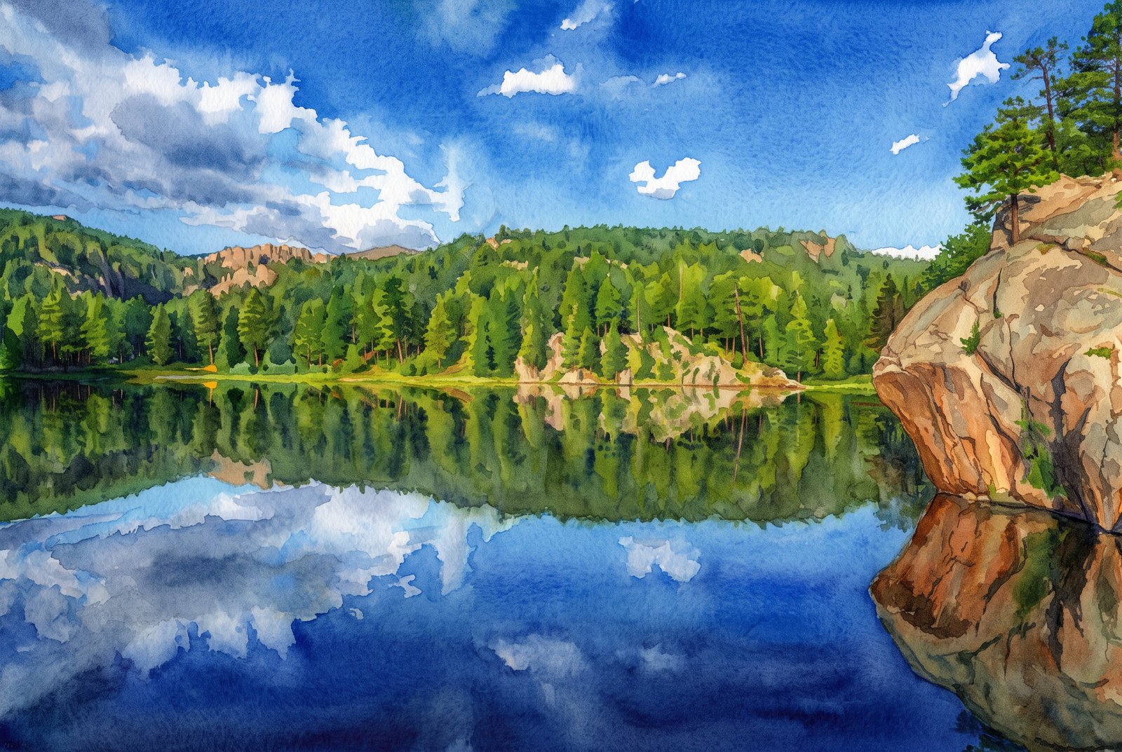 Watercolor
Horsethief Lake In The Black Hills
Horsethief Lake lies still in the Black Hills National Forest of South Dakota, near Mount Rushmore and Custer State Park, mirroring the ponderosa pines, pale granite and sky along its wooded shore. A massive granite boulder crowned with a lone pine juts in from the right, anchoring the reflection and giving the scene its scale. Key Features: The Granite: The Black Hills owe their pale, rounded rock to ancient granite pushed up through the plains and slowly exposed by erosion, forming the spires and boulders along the shore. The Forest: Dense ponderosa pine covers the hills and gives the range its dark look from a distance. The Lake: Prized for its calm water and granite backdrop, with a trail nearby into the Black Elk Wilderness. The Reflection: Still air turns the lake into a mirror, doubling pine, rock and sky.
Prints from $41Prints only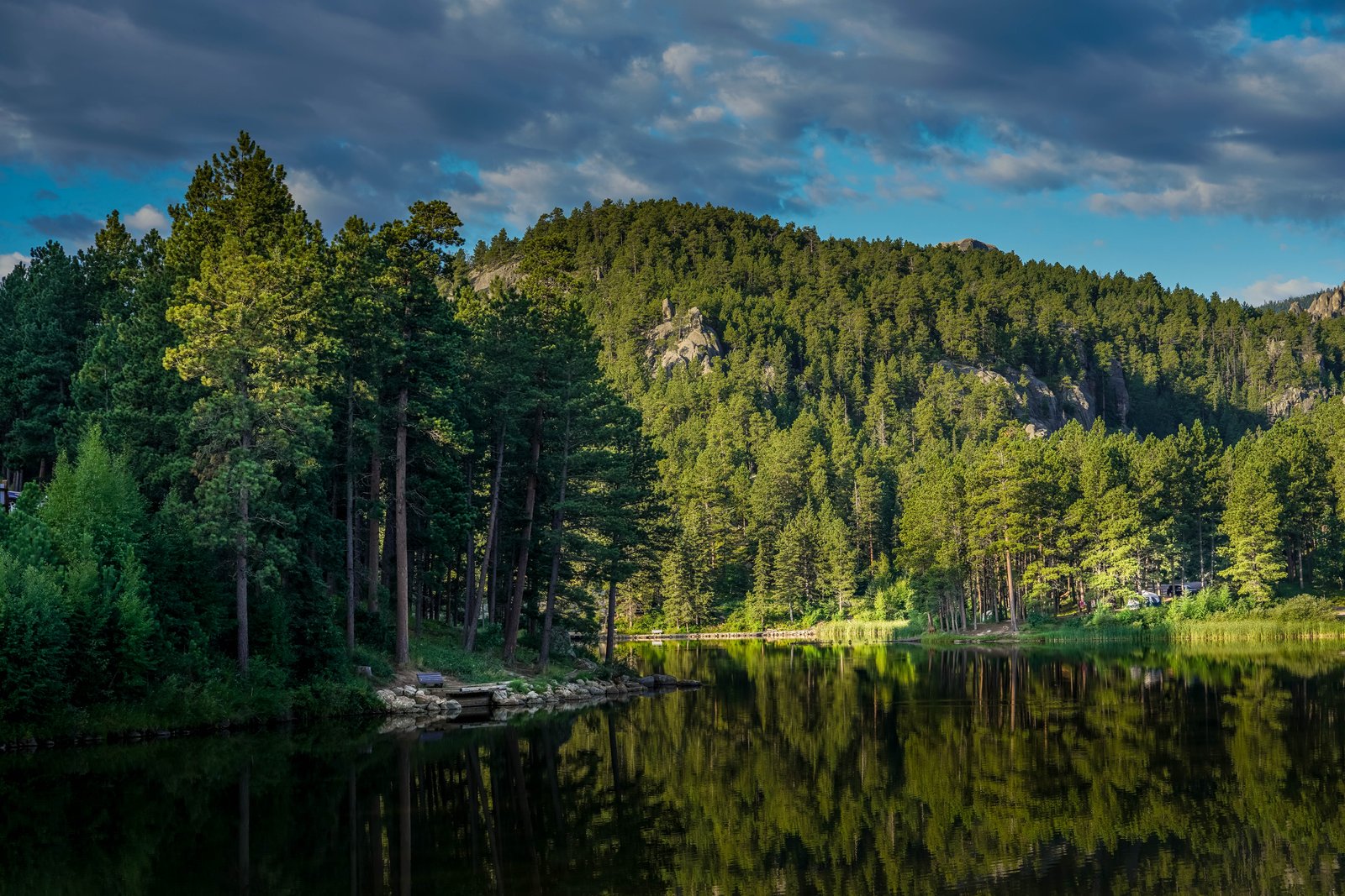
Rocky Water Lake
A still forest lake lies below a pine-covered ridge where weathered granite breaks through the trees, with a small dock and bench on the near shore and a campground along the far bank. Key Features: The Setting: Pine forest rings the water, and granite outcrops rise along the ridge line. The Reflection: Calm evening water mirrors the trees and rock face, as it does on small, sheltered lakes tucked into forested canyons. The Shoreline: The dock, bench and campground make this a lake for camping and quiet recreation.
Prints from $22Downloads from $19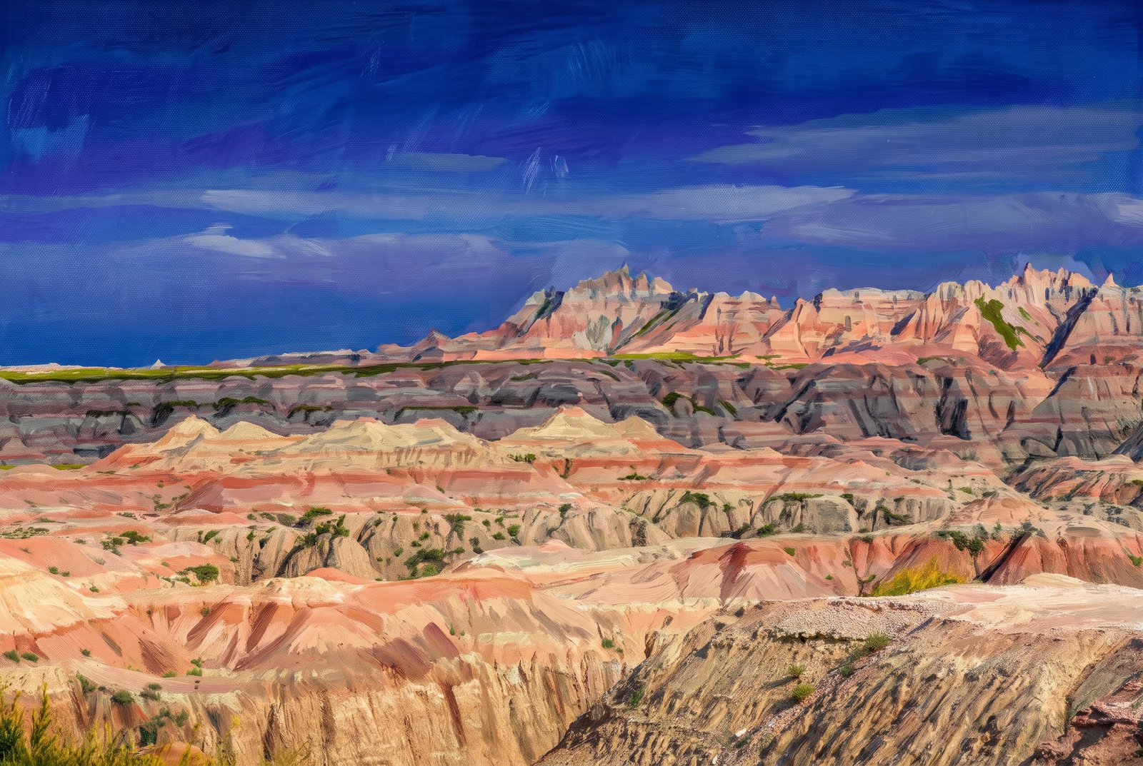 Painterly
Badlands Chadron
Eroded buttes and pinnacles of the South Dakota Badlands rise in layered mounds of rose, tan and gray sediment toward a jagged ridge of spires, with a thin band of green prairie marking the flatter tableland above the basin. Key Features: The Rock Layers: The Badlands are a colorful layer cake of sedimentary rock laid down between 75 and 28 million years ago by shallow seas, rivers and wind, which gives the buttes their striped bands. The Volcanic Ash: Some layers hold ash from volcanoes more than 500 miles away, carried east on the wind before settling here. Ongoing Erosion: The soft rock wears away about an inch a year; at that rate the hills will be gone within half a million years.
Prints from $41Prints only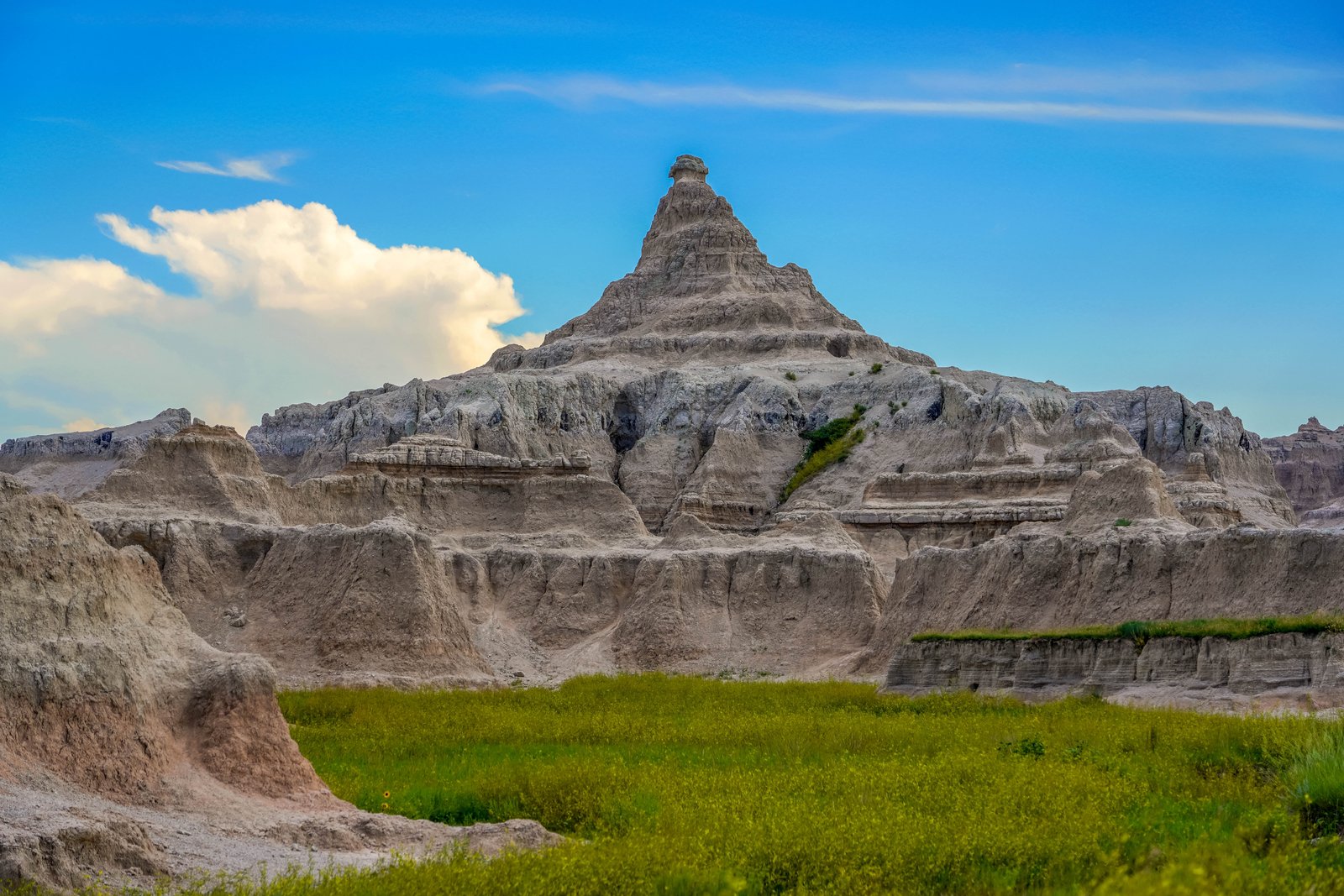
Badlands Peak
A jagged pyramid of sandstone and claystone rises in Badlands National Park in southwestern South Dakota, its layered slopes striped in muted tan and rose. The spire sits above a broad green apron of prairie grass, with lower buttes and eroded gullies fanning out under a wide, cloud-streaked sky. Key Features: The Landscape: Erosion has carved the region into spires, pinnacles, hoodoos, buttes and mesas known together as the White River Badlands. The Formation: Thick layers of sediment settled across western South Dakota, then were slowly cut by erosion into ridges, gullies and sharp spires. The Timeline: This serrated terrain did not exist until about 500,000 years ago, when water began cutting through the sediments. The Scale: The park covers more than 244,000 acres of spires, canyons and rugged rock.
Prints from $22Downloads from $19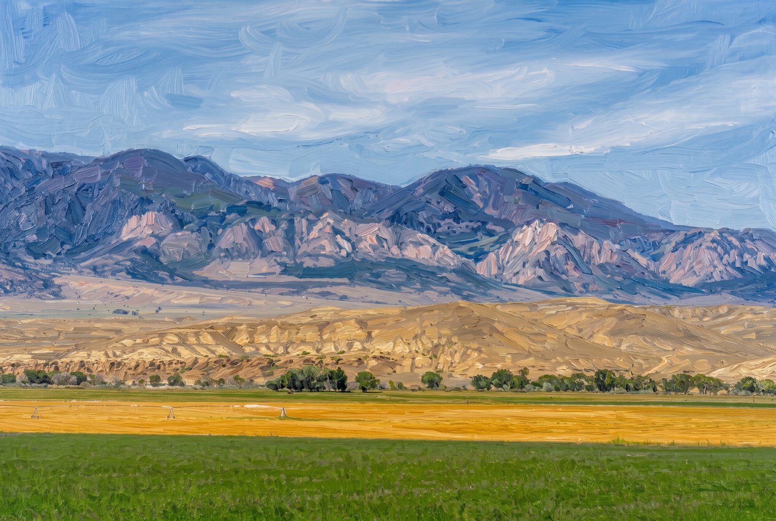 Impressionist
Clark's Fork Range Cody Wyoming
Freshly cut hay fields and center-pivot irrigation lines fill a ranch valley near Clark, Wyoming, looking north toward the Absaroka Range along the Clarks Fork of the Yellowstone River. Beyond the dry, eroded foothills, a jagged band of pale limestone reef rises before the higher, timbered summits fade into blue haze. Key Features: The Community: Clark sits about thirty miles north of Cody, on a scenic drive toward Yellowstone National Park and the Beartooth Highway. The Climate: This is semi-arid sagebrush country with less than ten inches of rain and snow a year, as the bordering mountains wring the moisture from the air. The Geology: The tilted reef of rock marks the mountain front, where basin sediments meet the rising Absaroka Range.
Prints from $41Prints only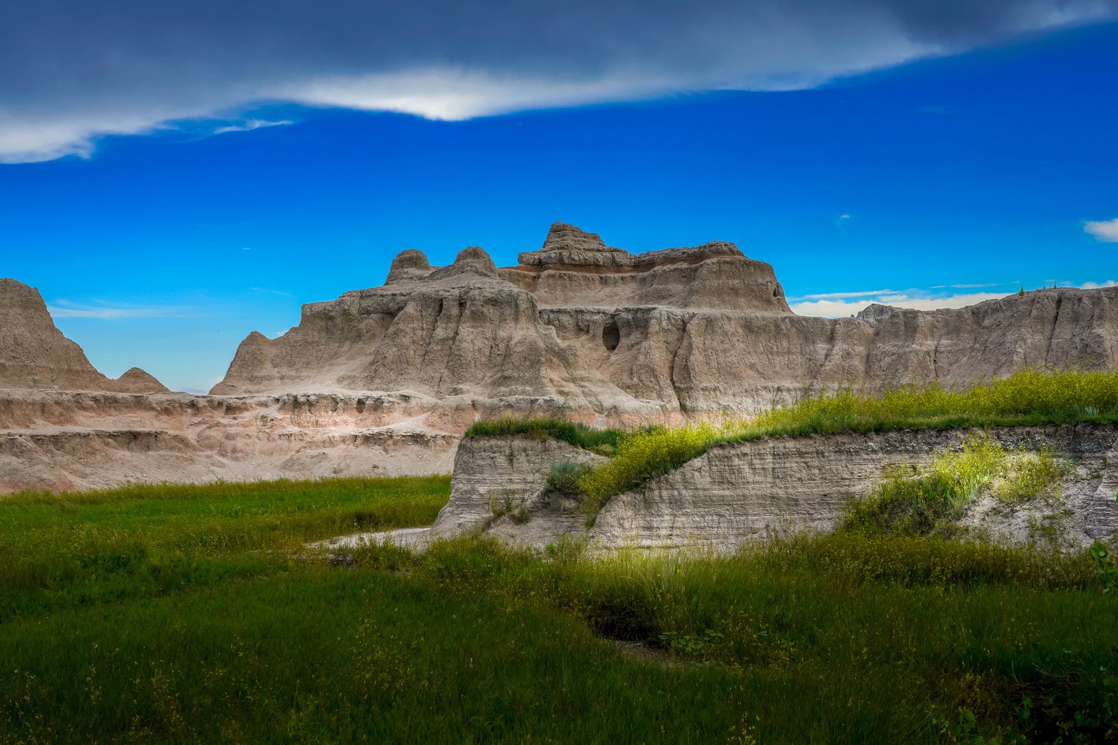
Badlands Rockyford Ash
Pale, eroded buttes of the South Dakota Badlands rise abruptly from green mixed-grass prairie, catching afternoon light under a deep blue, storm-streaked sky. From a low spot at the edge of the grassland, the soft rock shows the spires, domes and channels carved by wind and water, with wildflowers and prairie grass running right up to its base. Key Features: The Ash: The Rockyford Ash is a volcanic tuff from eruptions in the Great Basin, carried from what is now Utah and Nevada, and it gives these layers their gray color. The Formation: Above the Brule lies the Sharps Formation, the park's youngest at 30 to 28 million years old, with the Rockyford Ash at its base. The Park: Badlands National Park covers more than 381 square miles of South Dakota, known for its bright colors and layered rock. The Name: The Lakota people called this country "mako sica," meaning land that is bad.
Prints from $22Downloads from $19