


Photographer
Rick Billings, M. Photog., Cr.
Orlando, Florida
I've been a professional photographer since I graduated high school in 1978. I'm bringing over four decades of professional photography experience and offering images I captures as beautiful display prints in your home or office.
Collections
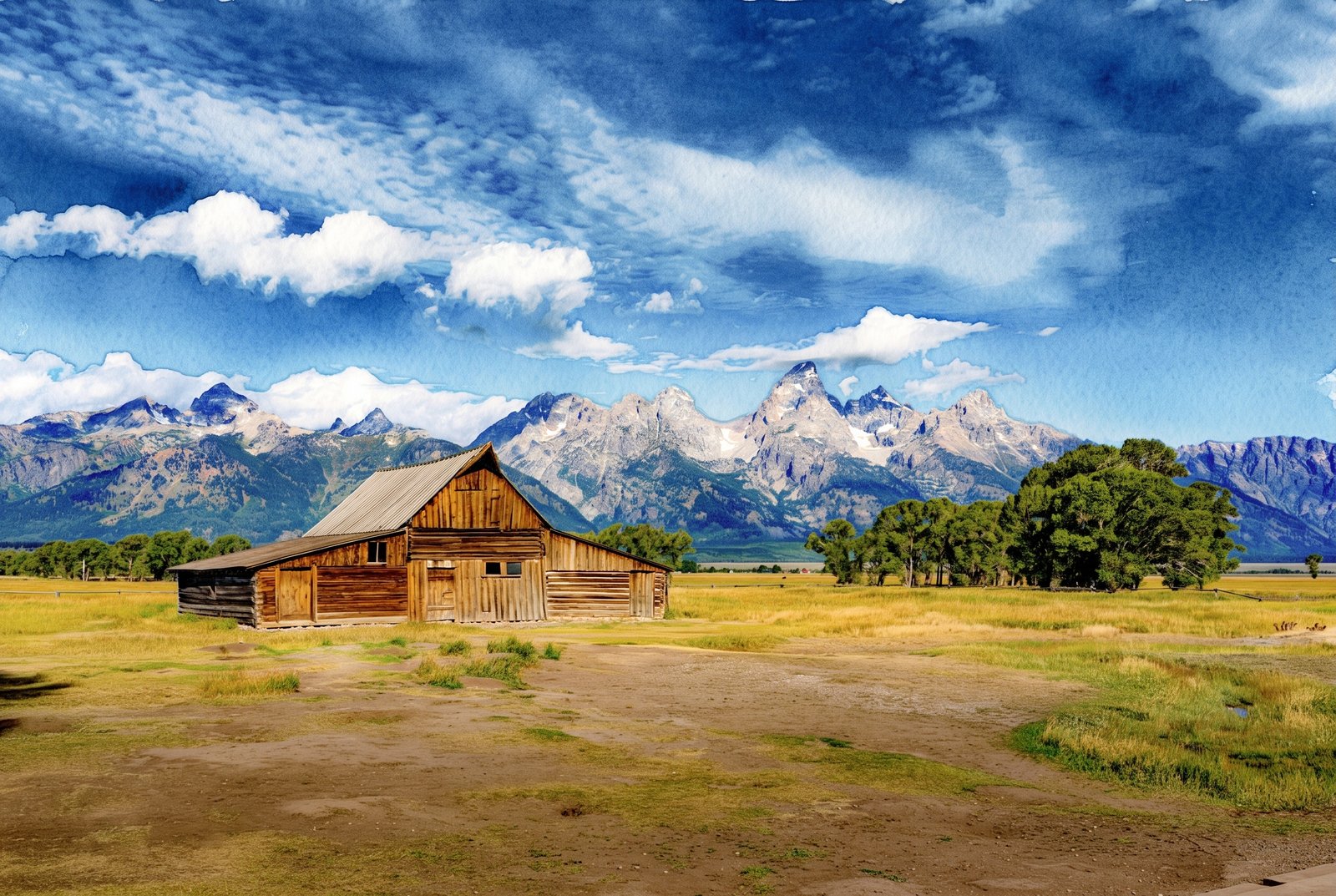
USA
80 photos
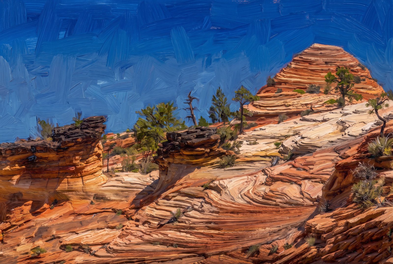
Arches, Bryce Canyon, Moab & Zion National Park - Utah
15 photos
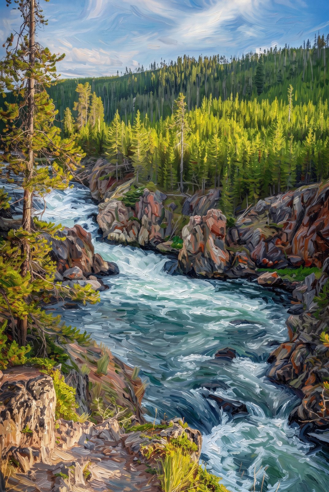
Yellowstone National Park, Wyoming
32 photos
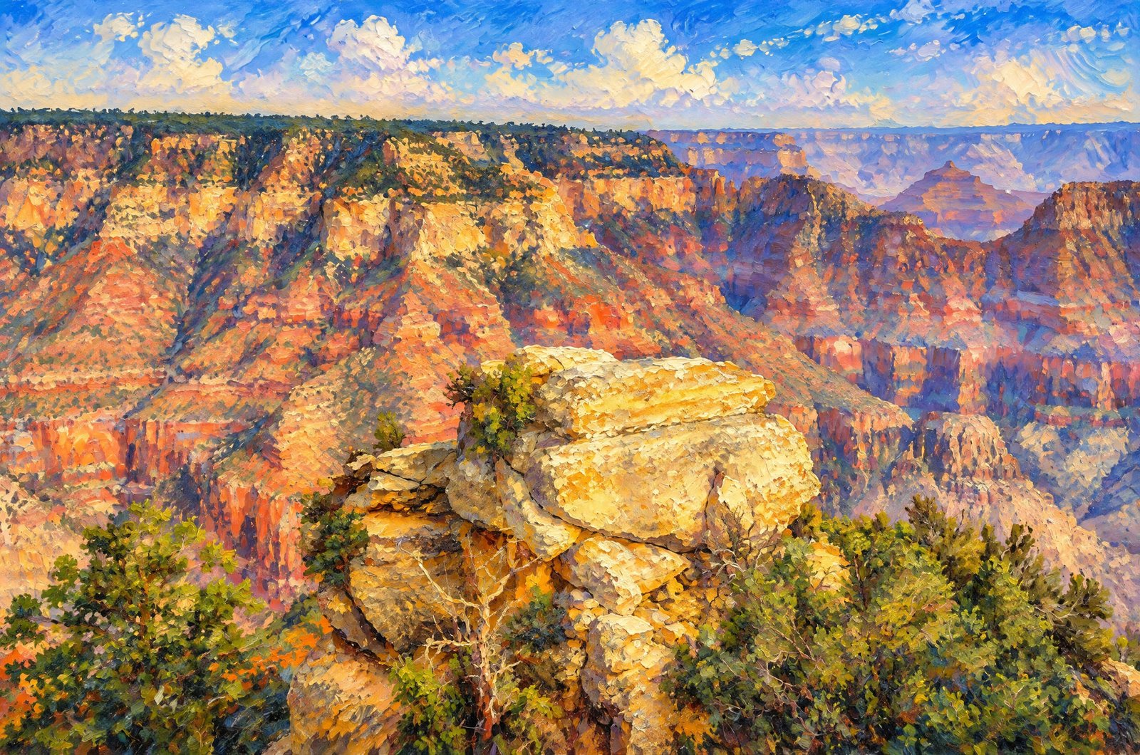
Grand Canyon National Park - Arizona
22 photos
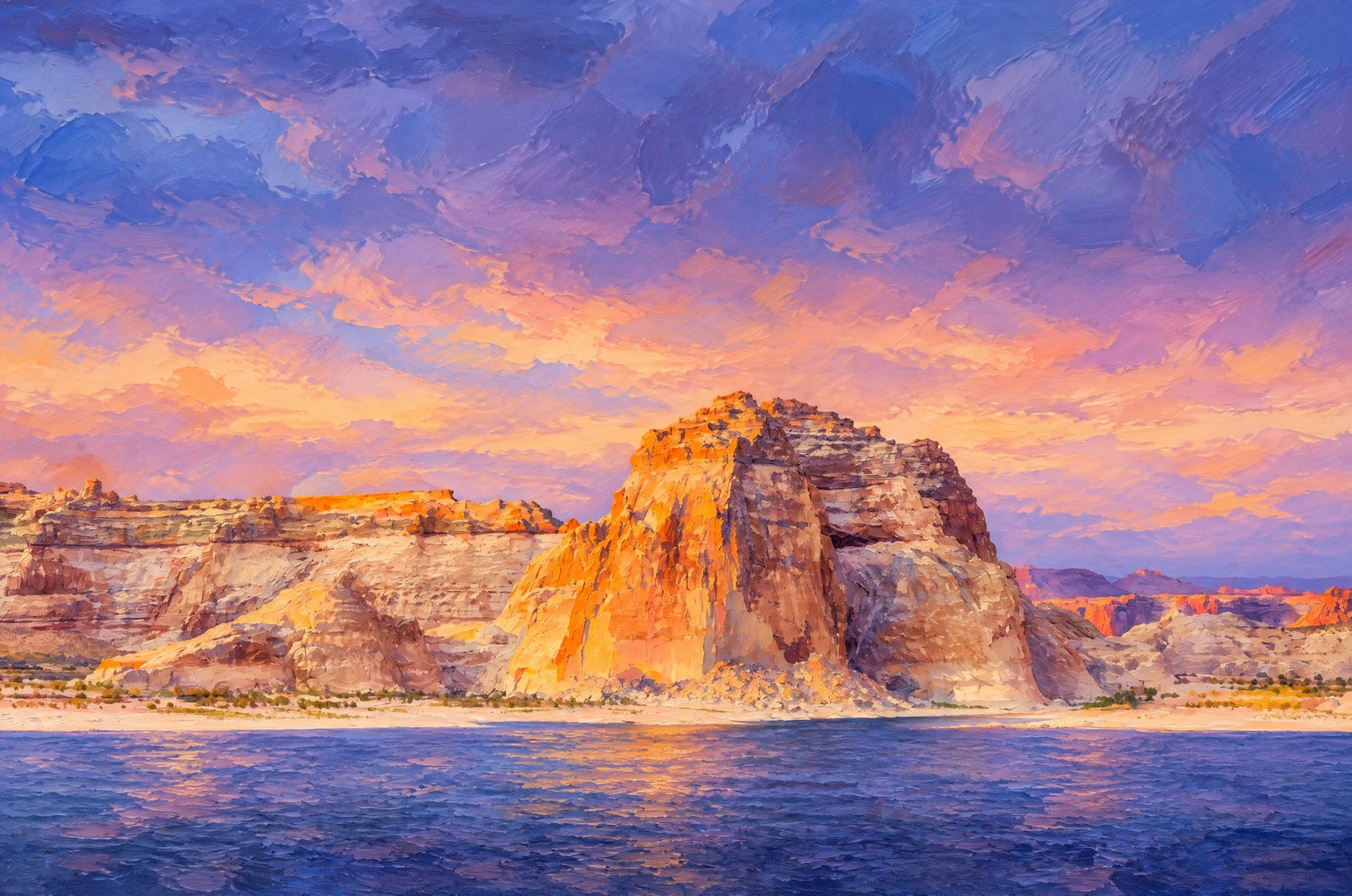
Lake Powell Page - Arizona
26 photos
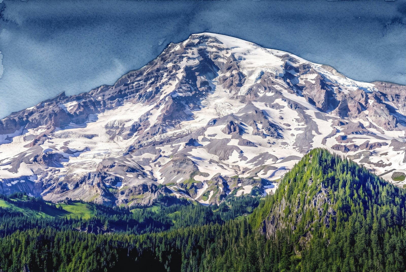
Pacific Coast, USA
36 photos

Animals
15 photos
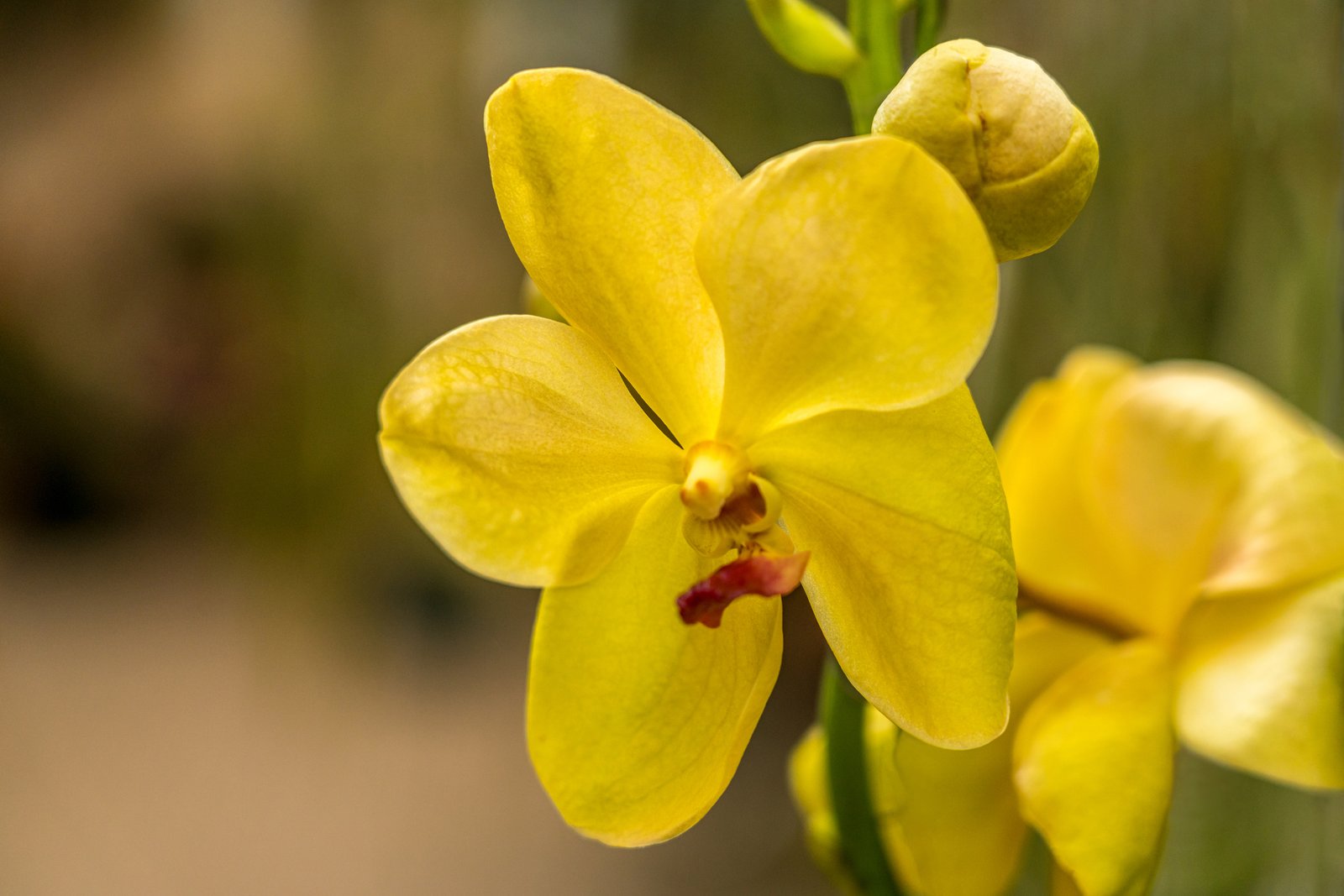
Flowers
18 photos
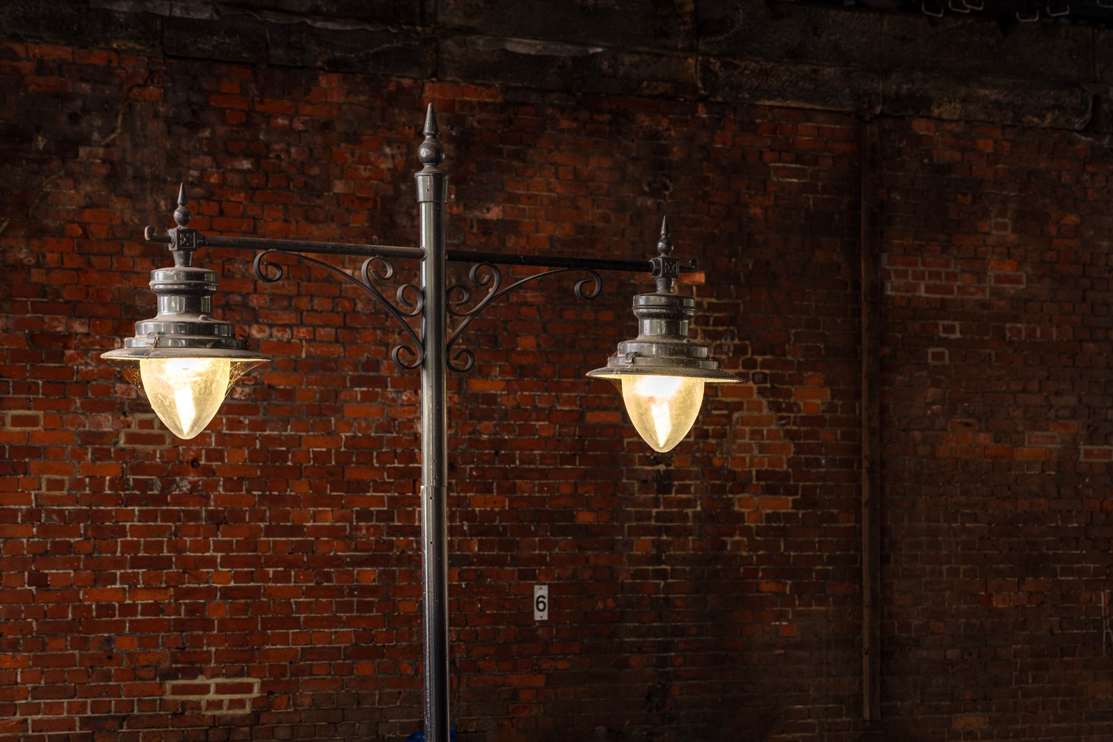
United Kingdom
15 photos
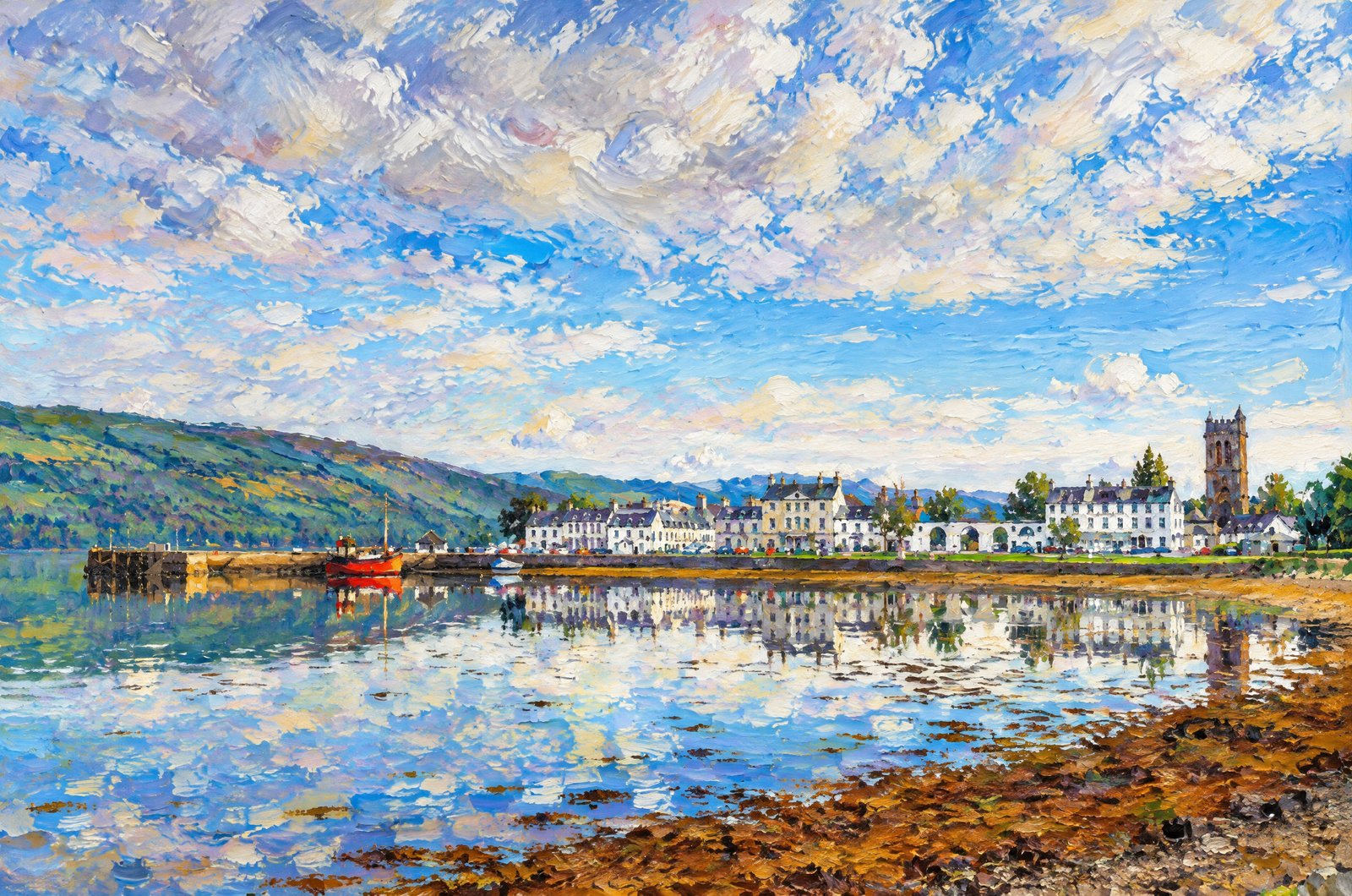
Scotland
54 photos
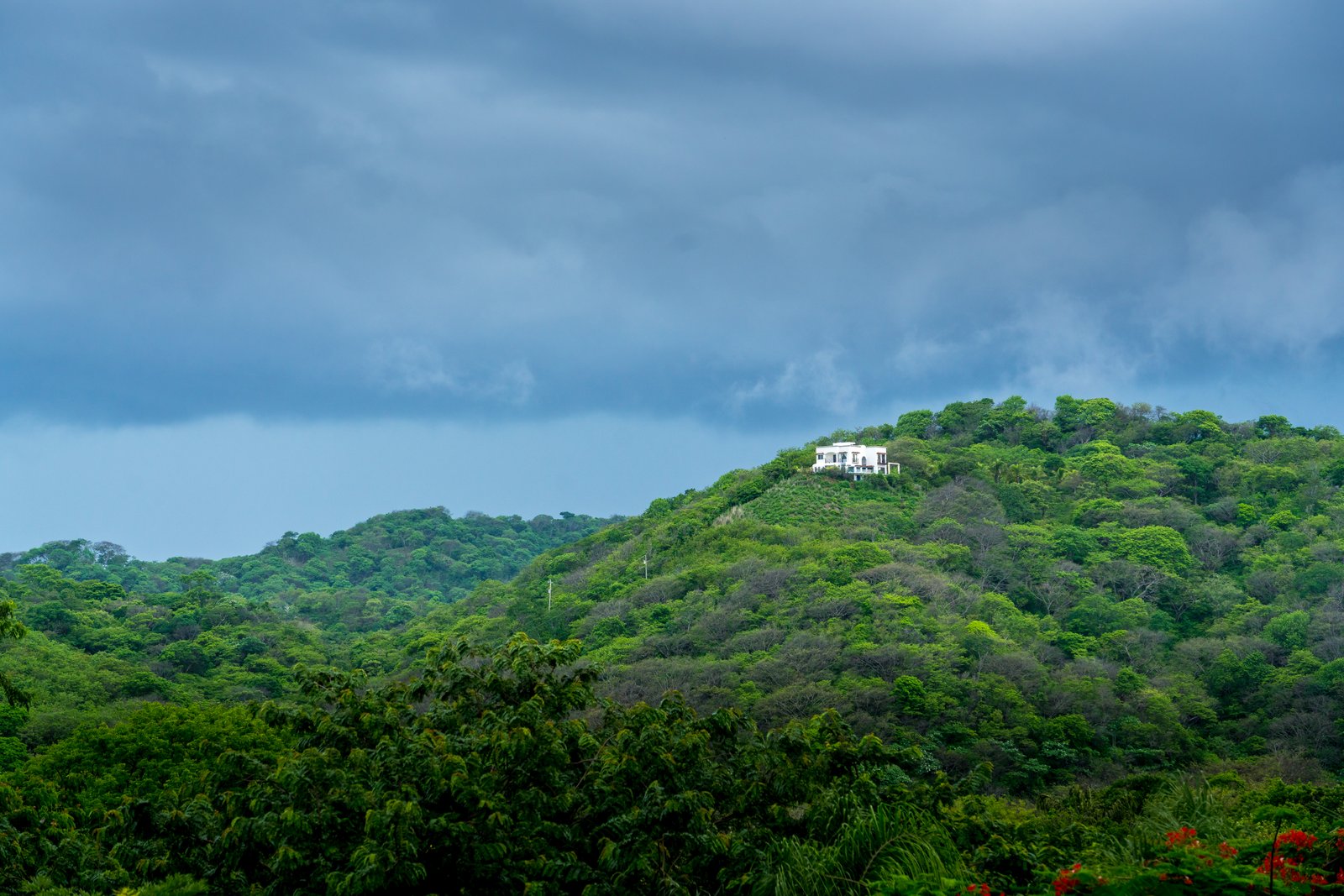
Costa Rica
2 photos
All Photos By Rick Billings, M. Photog., Cr.
 Painterly
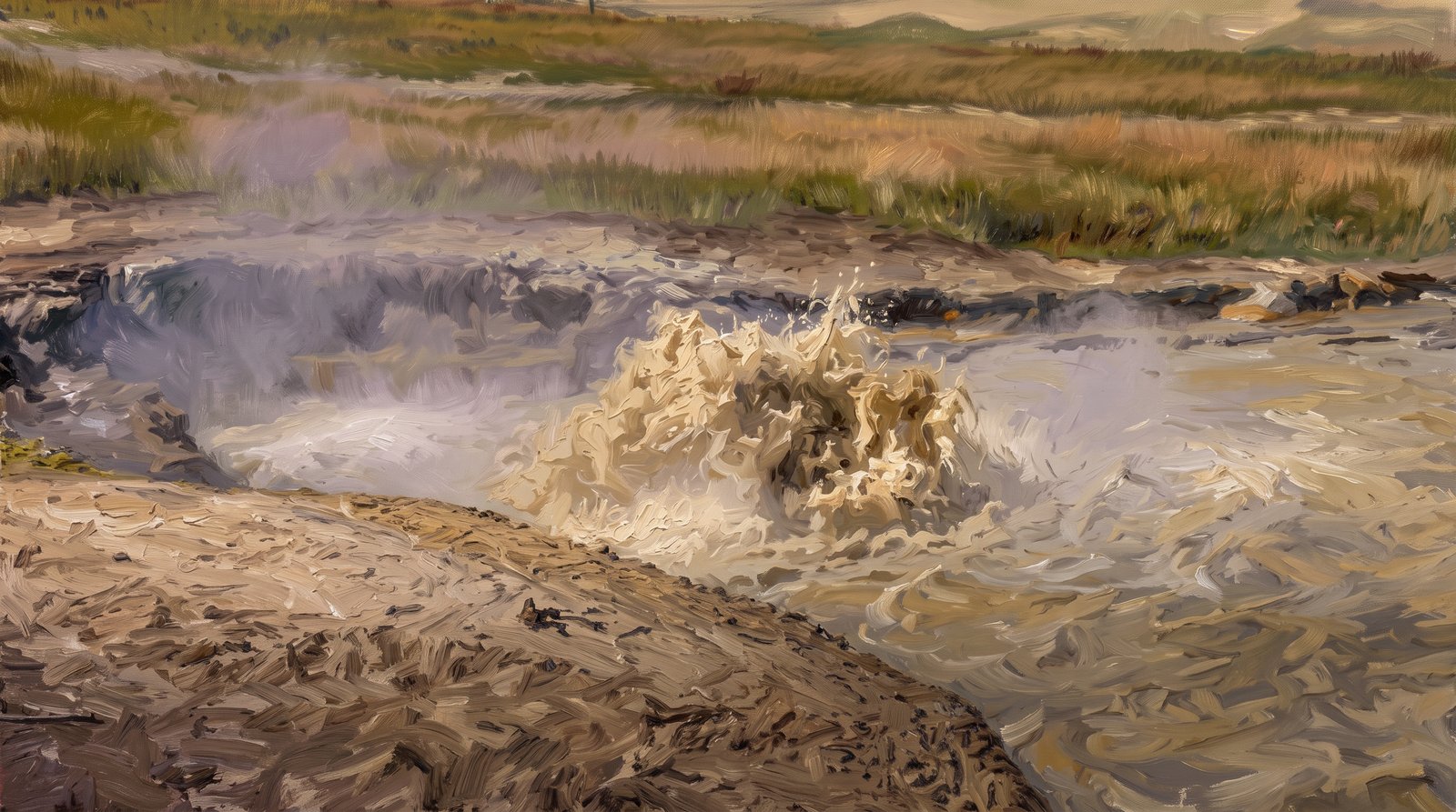
Churning Caldron
Churning Caldron roils in the Mud Volcano area of Yellowstone National Park. Steam rises from the muddy, sulfur-laden water as it froths over its scorched banks, with open meadow stretching toward Hayden Valley behind. Key Features: The Mud Volcano Area: A cluster of acidic, sulfurous features along the Grand Loop Road, including Sour Lake and Black Dragon's Caldron. Earthquake Driven: Earthquakes make the ground beneath it heat and cool; nearly five hundred shook the area between July 1 and July 15, 1995. Roiling, Not Boiling: The water is scalding but not boiling. Gases rise through vents opened by earthquakes and bubble to the surface, making the water churn. Ongoing Change: In 1971 the pool grew calm enough for mats of microorganisms to cover its surface, until earthquakes in 1978 and 1979 raised its temperature again.
Prints from $709Prints only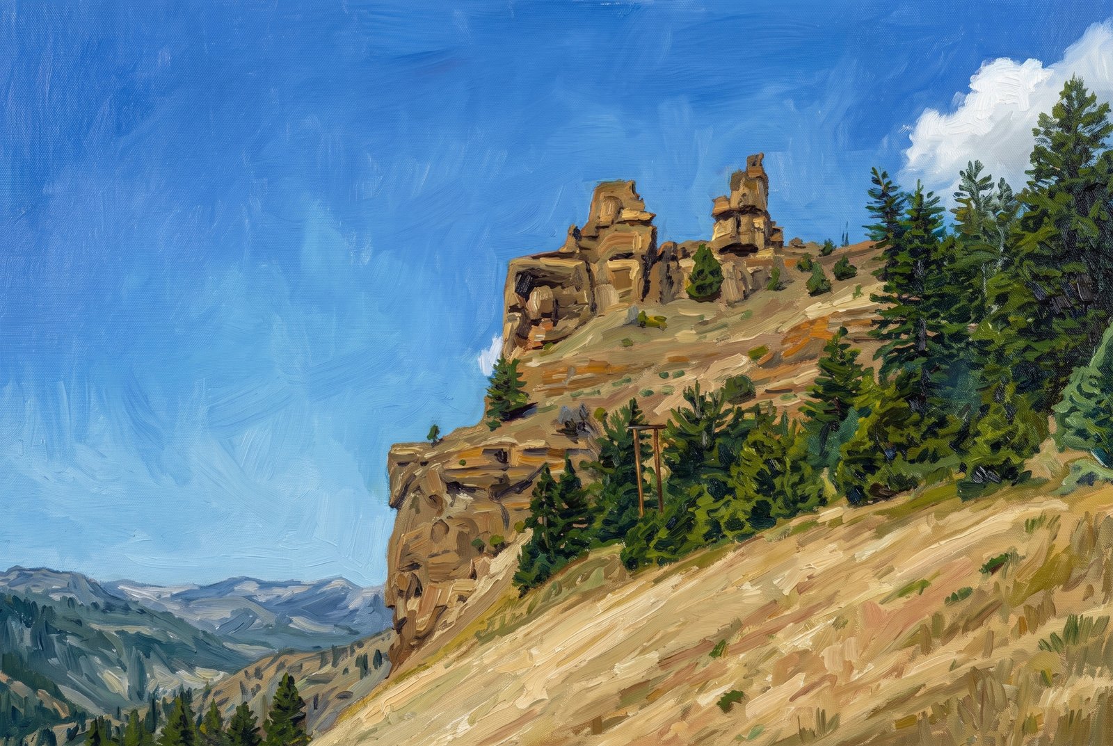 Painterly
Yellowstone Hillside
A rugged outcrop of weathered spires rises above sloping, gold-hued grassland and lodgepole pine on Yellowstone's northern range, overlooking a forested draw with the Absaroka Range fading into the distance. Key Features: The Rock: The pinnacles are volcanic breccia, coarse rock formed from ancient lava and debris flows that cooled and fractured into blocky towers, a geology documented near Tower Fall since the park's earliest surveys. The Setting: Sun-dried grass hills meet stands of pine on the slope below, the look of Yellowstone's drier northern range in late summer. The Backdrop: Snow-streaked peaks of the Absaroka Range line the horizon, the mountain boundary around the park's interior valleys. The Significance: These eroded volcanic towers are a lesser-known side of Yellowstone, showing the deeper volcanic history beneath its famous geothermal features.
Prints from $41Prints only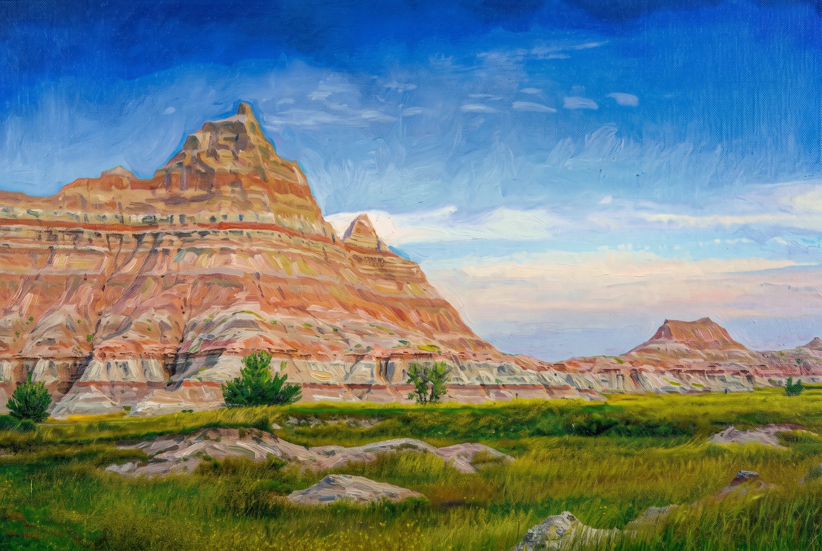 Impressionist
Badlands Norbeck Pass
Striped buttes rise sharply above a green valley floor at Norbeck Pass, on the Badlands Loop Road in the North Unit of Badlands National Park, South Dakota. Key Features: The Rock Layers: Deposition began about 75 million years ago, and the youngest major layers settled about 28 million years ago, building the striped pinnacles seen here. The Fossil Record: The White River Badlands hold the richest known deposits of Oligocene mammal fossils, famous worldwide. The Setting: The park protects sharply eroded buttes and spires alongside the largest undisturbed mixed-grass prairie in the United States. The Pass: Norbeck Pass is one of the classic overlooks on the loop road, where the formations meet open grassland.
Prints from $41Prints only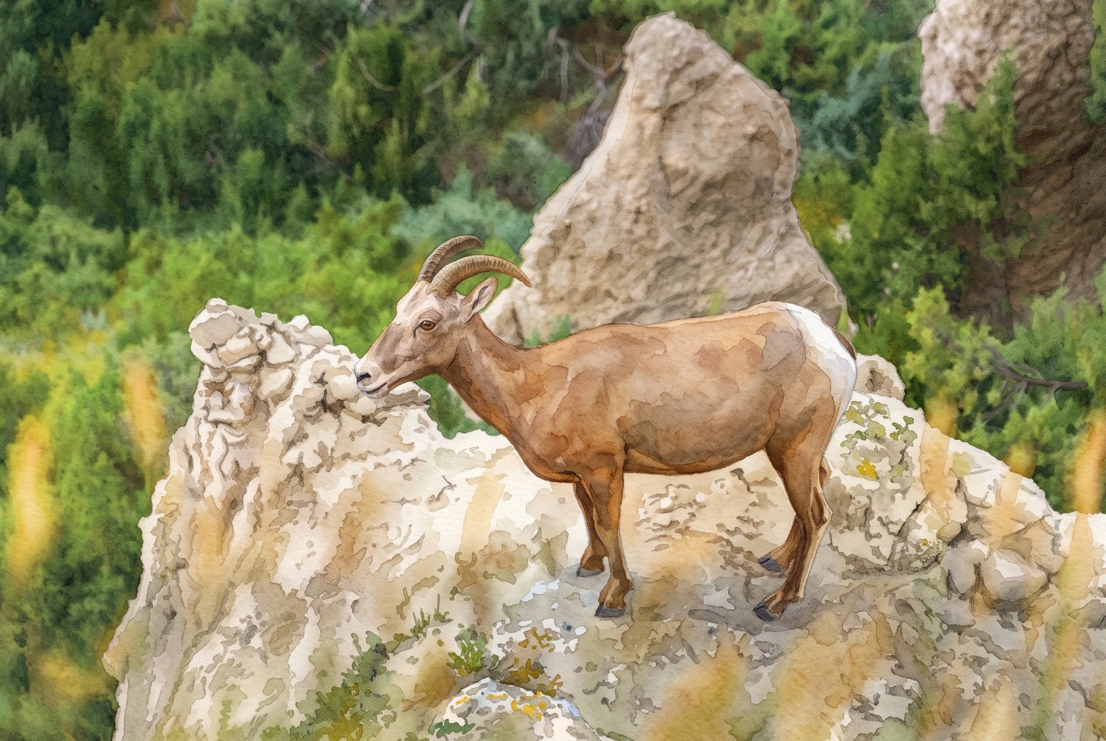 Watercolor
Badlands Bighorn Sheep Ridge
A bighorn sheep stands alert atop an eroded clay pinnacle in Badlands National Park, South Dakota, framed by prairie grass in front and dense juniper behind, surveying the rugged ground from its high perch. Key Features: The Terrain: Layered sedimentary rock and clay have eroded over millions of years into the park's spires, ridges and pinnacles. The Comeback: In 1964, 22 Rocky Mountain bighorn sheep were brought from Pikes Peak, Colorado, to the Badlands, decades after the species had been wiped out in the region. The Habitat: Grassland and juniper woodland give the reintroduced herds the cover and forage they need among the steep formations.
Prints from $41Prints only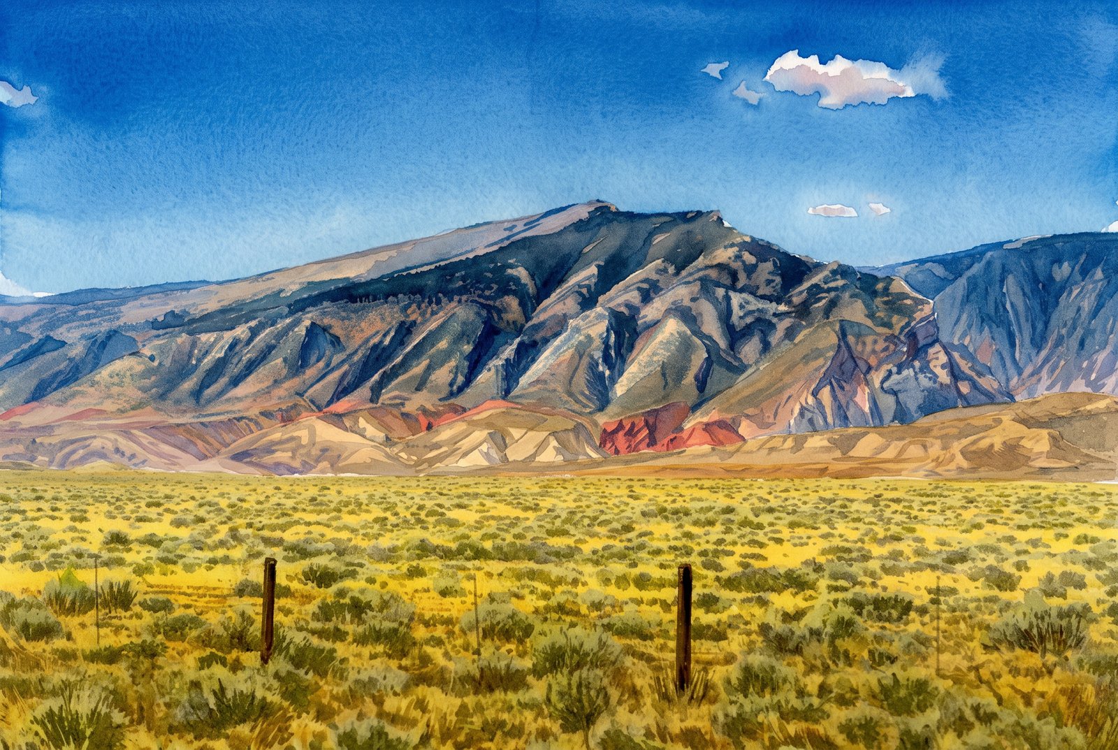 Watercolor
Clark's Fork Cody Wyoming
Pat O'Hara Mountain, a peak of the North Absaroka Range near the Clark's Fork of the Yellowstone north of Cody, Wyoming, rises beyond the sagebrush flats of the Bighorn Basin. A weathered fence line leads the eye from open rangeland to its fluted, forested flanks and bare summit ridge, with bands of red and purple sedimentary rock at its base. Key Features: The Peak: Pat O'Hara Mountain rises to about 9,977 feet and can be seen from Cody, Powell and across the northern Bighorn Basin. The Range: It stands at the northeastern edge of the Absaroka Range, in the Shoshone National Forest. The Colored Rock: The reddish bands at its base are older sedimentary layers exposed by erosion along the Clark's Fork drainage. The Setting: Sagebrush steppe and simple post fencing mark the ranching country of northwestern Wyoming.
Prints from $41Prints only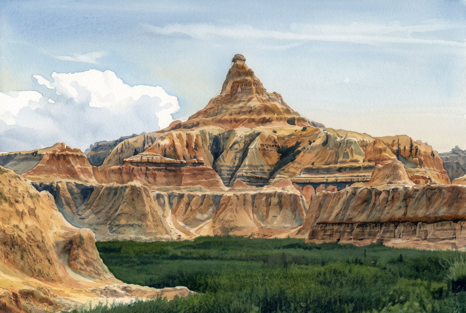 Watercolor
Badlands Peak B&W
In black and white, a pyramid-shaped butte rises from the eroded terrain of Badlands National Park in southwestern South Dakota. From low across a grassy basin, the layered spire stands against a wide sky, with softer rounded formations and sharp ridgelines fanning out below it. Key Features: The Rock Layers: The Badlands are a layer cake of sedimentary rock laid down between 75 and 28 million years ago by shallow inland seas, rivers and wind. The Name: "Badlands" is the word for any place where erosion of loose sediments leaves a rugged, barren landscape. The Setting: The grassy prairie floor in front sets off the bare, wind-carved peaks behind it, a hallmark of this country.
Prints from $41Prints only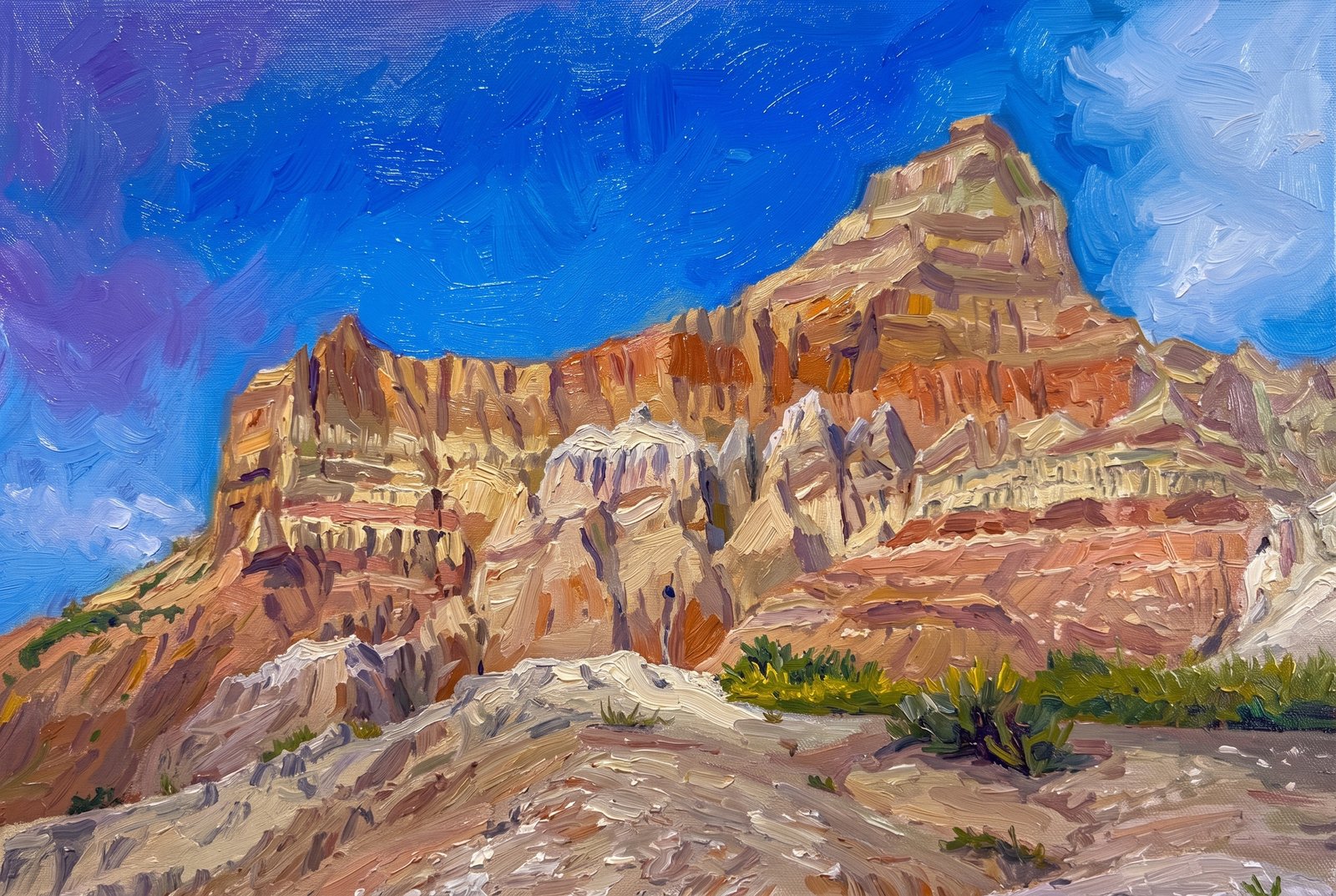 Impressionist
Badlands Twin Peaks
Two eroded pinnacles rise against a deep blue sky above layered clay buttes in Badlands National Park, South Dakota, seen from low on a rubble slope with sparse grass and sagebrush in front and striped, sculpted rock walls all around. Key Features: The Badlands Wall: A 60-mile stretch of rock tens of millions of years old that divides the upper prairie from the lower. The Rock Layers: Laid down 34 to 28 million years ago from sediment rich in volcanic ash, the Sharps and Brule Formations now form the sharply eroded peaks of the Badlands, the Wall among them. The Fossil Record: These deposits hold one of the world's richest fossil beds, with ancient horses and rhinos that once roamed here. The Wildlife: The park's 244,000 acres protect mixed-grass prairie where bison, bighorn sheep, prairie dogs and black-footed ferrets live today.
Prints from $41Prints only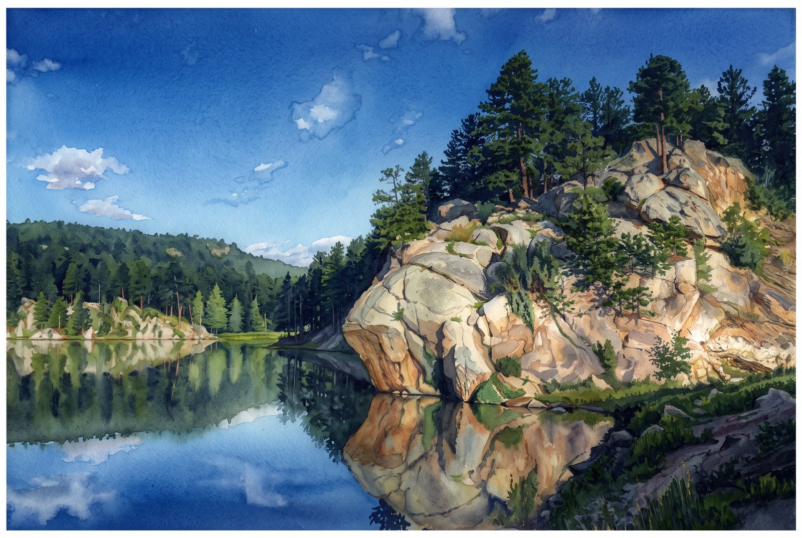 Watercolor
Rocky Water Lake
In a quiet cove of Horsethief Lake in the Black Hills of South Dakota, just two miles from Mount Rushmore, a sunlit granite outcrop crowned with ponderosa pines is mirrored in the still water. Key Features: The Setting: The lakeside campground sits among towering ponderosa and lodgepole pines in the central Black Hills. The Landscape: Granite peaks and twisting spires poke through the thick forest canopy around the lake. Recreation: The granite spires around Horsethief Lake and across the Black Elk Wilderness make this a favorite area for rock climbing.
Prints from $41Prints only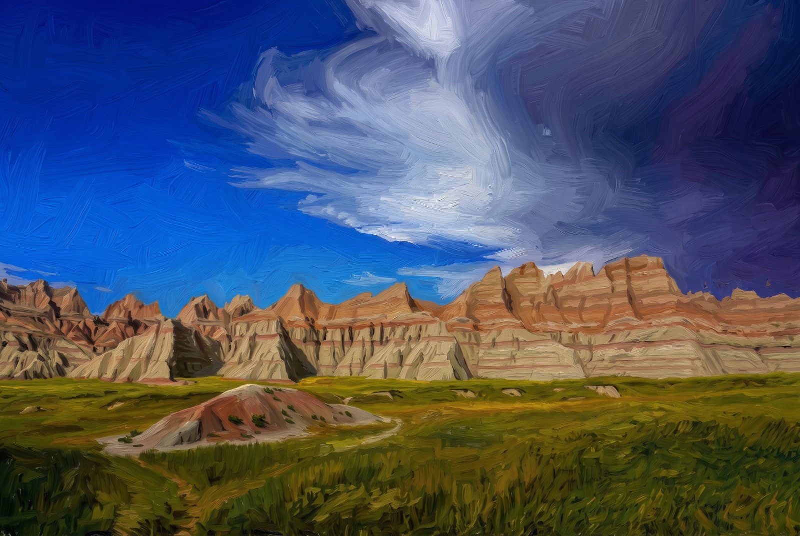 Painterly
Badlands Sharps Formation
A small eroded knoll beside the trail gives way to a rugged wall of jagged spires and striped buttes in Badlands National Park, South Dakota, rising sharply from the prairie under a passing storm cloud. Key Features: The Sharp Ridges: These peaks belong to the Sharps Formation, whose base layer, the Rockyford Ash, is volcanic tuff from eruptions in the Great Basin. The Layered Rock: The formations show striking horizontal bands of sediment in varied shades. The Landscape: The park protects sharply eroded buttes and pinnacles alongside the largest undisturbed mixed-grass prairie in the United States.
Prints from $41Prints only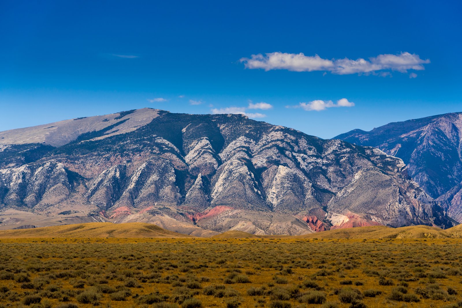
Clark's Fork Cody Wyoming
From the sagebrush flats near the mouth of Clarks Fork Canyon, north of Cody, Wyoming, the jagged Beartooth front rises in pale, saw-toothed peaks of uplifted Paleozoic limestone and dolomite, above a band of deep red Triassic Chugwater Formation folded and tilted by the same uplift. Key Features: The Skyline: Sharp, triangular summits of ancient carbonate rock rise abruptly from the plain, the mark of the Beartooth Front's dramatic uplift. The Red Beds: At the canyon mouth, the uplift of the Beartooth Mountains folded the Chugwater Formation, leaving the vivid red bands below the gray peaks. The Climate: The sagebrush plains here see less than 10 inches of rain and snow a year, as the mountains wring the moisture from the air. The Canyon: The Clarks Fork River cuts through the range in the Shoshone National Forest on its way to the Bighorn Basin.
Prints from $22Downloads from $19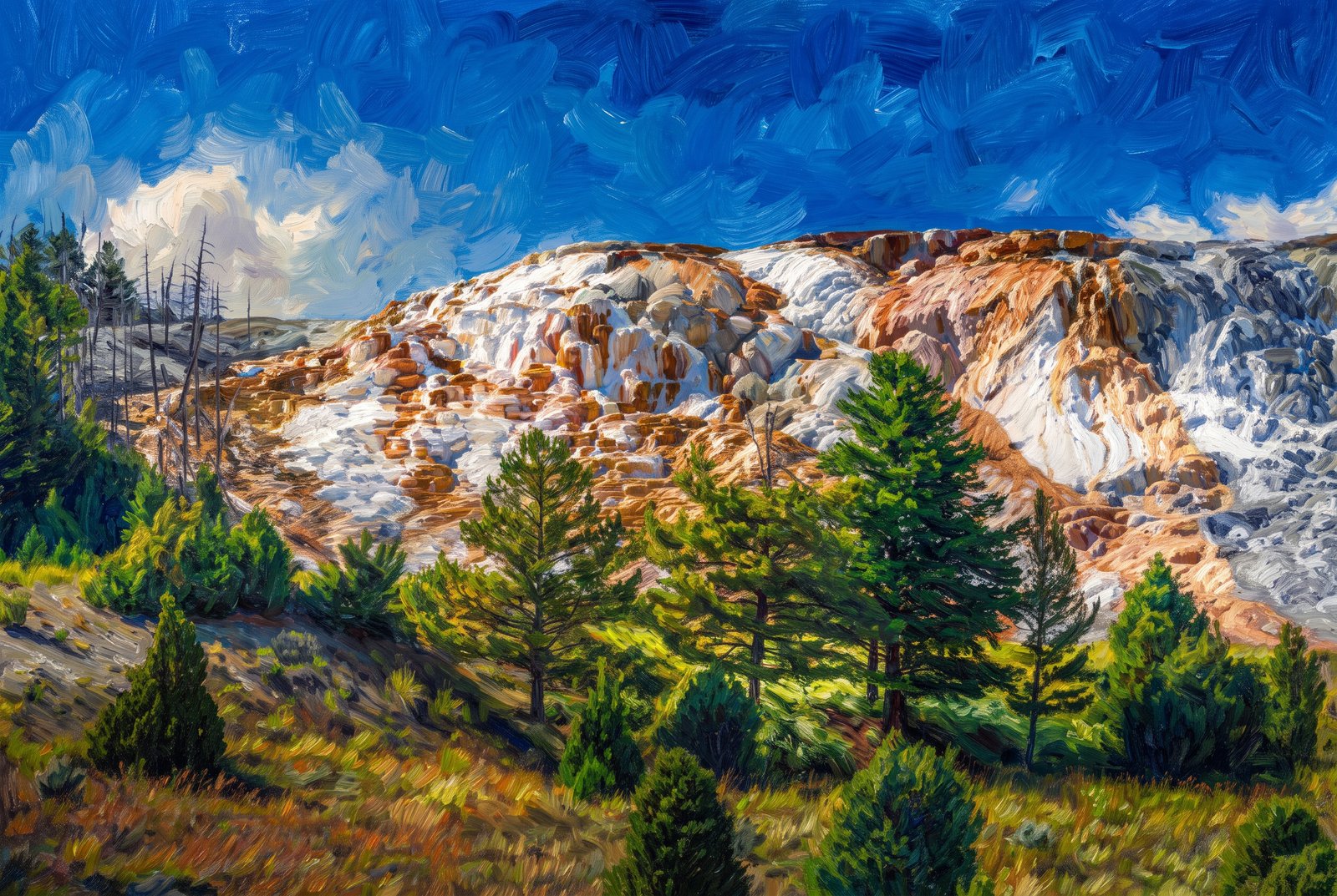 Impressionist
Mammoth Hot Springs
The travertine terraces of Mammoth Hot Springs climb the hillside in Yellowstone National Park, layered white and orange above lodgepole pines and sagebrush meadow, with a bright cumulus cloud drifting over the ridge. Key Features: The Terraces: Formed over thousands of years as mineral-rich hot water flows down the hillside. The Rock: Travertine is a crystalline limestone that forms in springs saturated with calcium carbonate, giving the terraces their sculpted, cascading look. A Living Landscape: Travertine builds up here unusually fast, about 3 millimeters a day, so the terraces keep reshaping themselves and shifting color from year to year. Discovery: Early expeditions, Washburn and Hayden in the 1870s among them, marveled at the massive terraces, so different from Yellowstone's other geothermal areas.
Prints from $41Prints only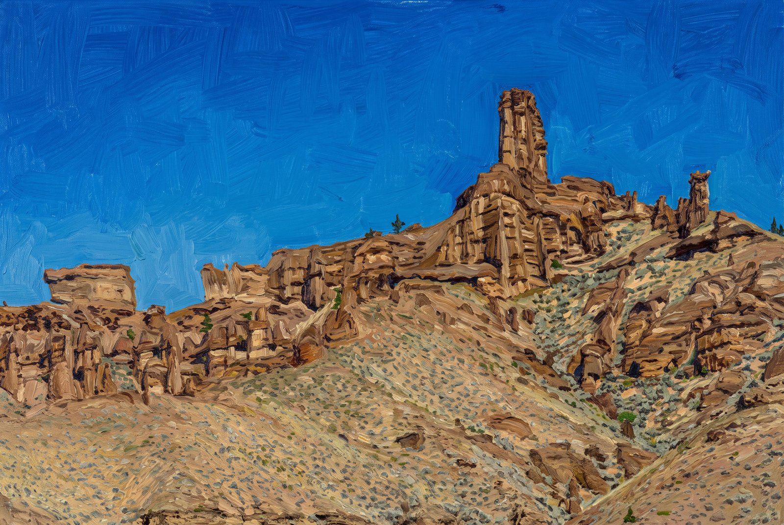 Painterly
Yellowstone Peaks
A weathered spire and its companion towers of ancient volcanic breccia rise above a sage-covered slope in the Absaroka Range, in the remote northeast corner of Yellowstone National Park. The ridge exposes thick layers of hardened ash, mud and rock debris, with one tall pinnacle standing over a jagged line of smaller hoodoos under a clear summer sky. Key Features: Volcanic Origins: Eruption after eruption from ancient volcanoes buried standing trees under waves of ash and debris, building these layers. The Terrain: Erosion has exposed more than 1,000 vertical meters of these volcanic rocks, carving the rugged topography. Fossil Ground: The famous petrified forests of Specimen Ridge and Mount Amethyst lie in this same northeast corner of the park. Erosional Sculptures: The soft breccia weathers into spires and pillars, a striking contrast to the park's geothermal features.
Prints from $41Prints only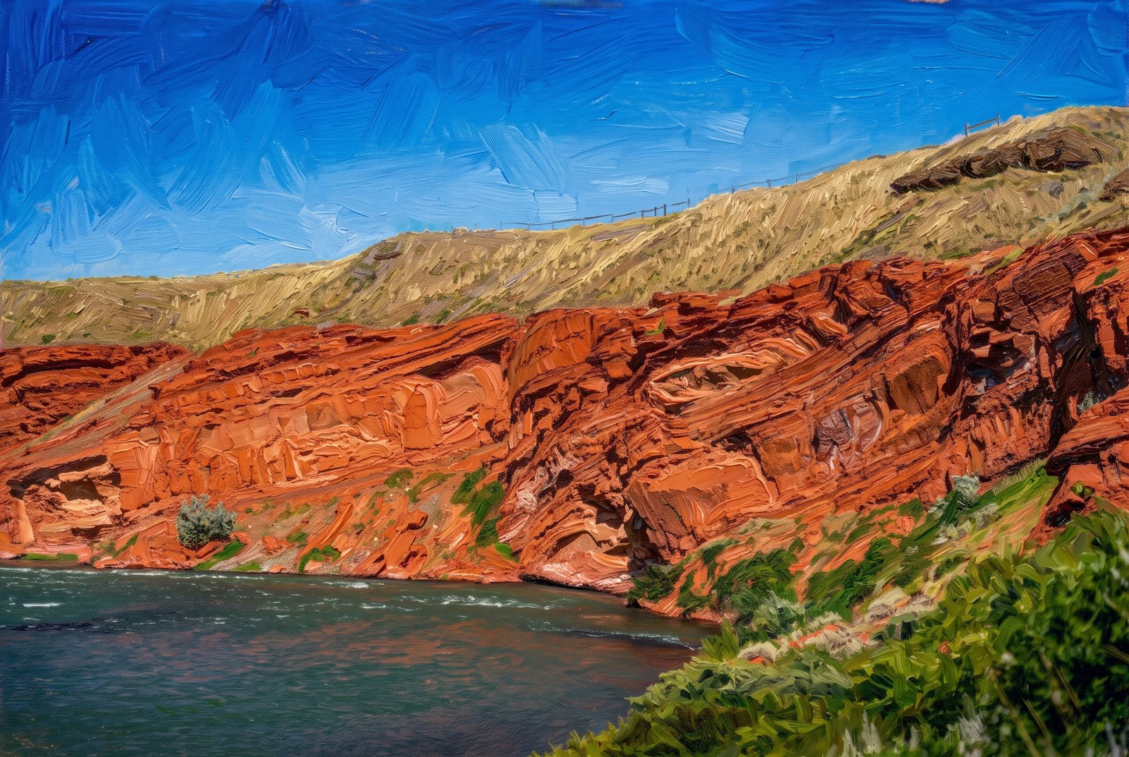 Painterly
Shoshone Canyon River
The Shoshone River cuts through Shoshone Canyon near Cody, Wyoming, between the towering red sandstone cliffs of Rattlesnake and Cedar Mountains, with sagebrush slopes and grassy ridgelines rising to a clear blue sky. Key Features: The River: Below the Buffalo Bill Dam, the Shoshone River runs through the canyon between Cedar and Rattlesnake Mountains and on through Cody. Red Rock Canyon: This scenic stretch of river is a favorite with rafters. Gateway to Yellowstone: The canyon carries the road to the East Entrance of Yellowstone National Park. The Cliffs: The towering walls, shaped over millions of years, rise straight from the river.
Prints from $41Prints only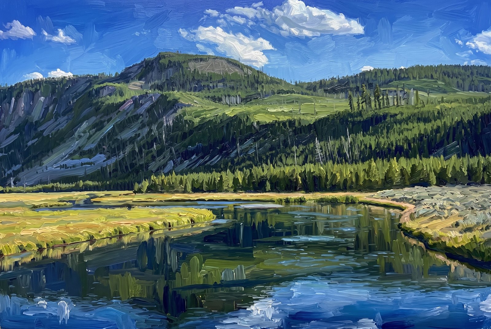 Painterly
Yellowstone River Range
The Yellowstone River winds in broad, glassy loops through the open grassland of Hayden Valley in Yellowstone National Park, looking north across marshy meadow to a forested ridge and a bare, rounded summit, with dead snags standing among the live lodgepole pines. Key Features: The Valley: Hayden Valley lies between the north shore of Yellowstone Lake and the Grand Canyon of the Yellowstone, with the river meandering between grassy banks. Why It Stays Open: The glacial till here mixes many grain sizes, including clay and a thin layer of lake sediment, so water can't soak into the ground; the valley stays marshy, with few trees. Elevation: At nearly 8,000 feet, Hayden Valley is a striking break in the dense lodgepole forest that covers much of the park. Fire History: The dead snags on the slopes are left from past fires, part of the natural cycle that shapes Yellowstone's high country.
Prints from $41Prints only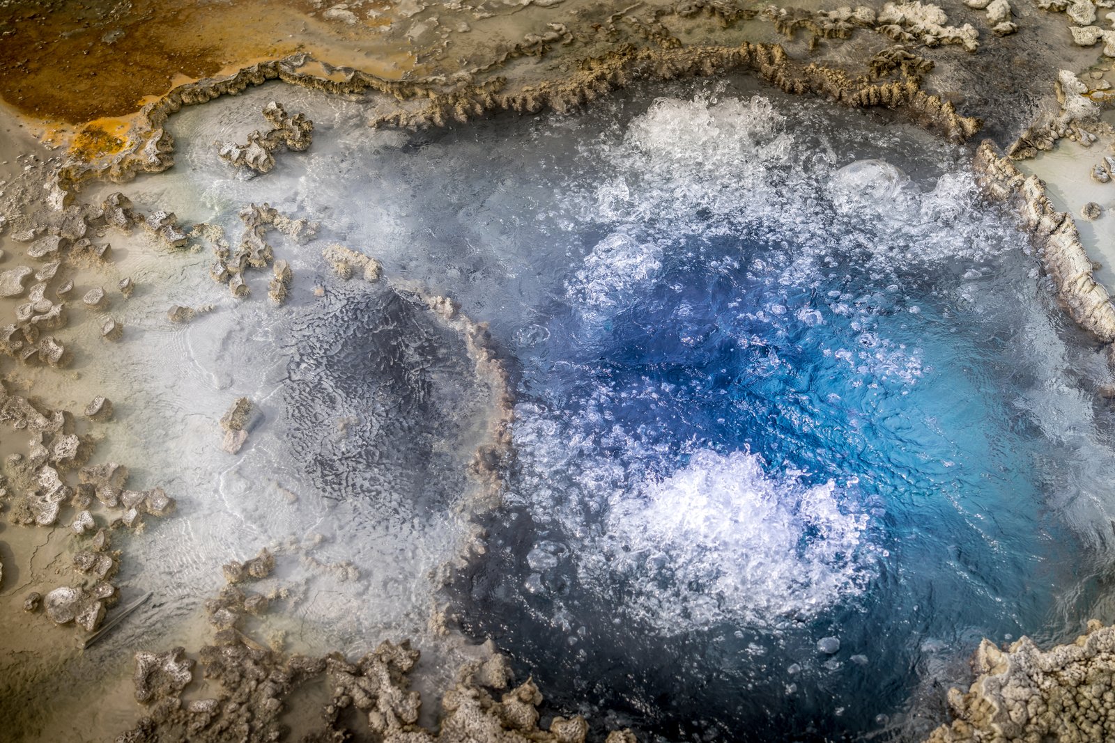
Blue Star Springs
Looking straight down into Blue Star Spring on Geyser Hill in Yellowstone's Upper Geyser Basin, superheated water surges and bubbles in a deep indigo center ringed by pale sinter and rust-colored bacterial mats. Key Features: Geyser Hill: The spring sits in the Upper Geyser Basin near Old Faithful, one of the densest gatherings of hydrothermal features on Earth. The Name: It is named for its star-shaped vent and the vivid blue of its clear, mineral-rich water. Rare Activity: Usually a quiet pool, Blue Star has erupted as a geyser now and then, most recently on record in 2002. The Heat: The water averages nearly 191 degrees Fahrenheit, keeping it in constant, gentle motion.
Prints from $22Downloads from $19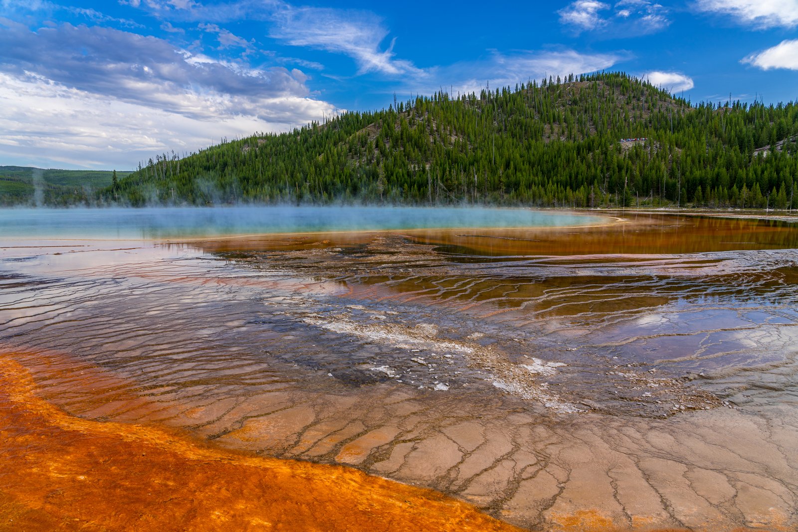
Grand Prismatic Spring
Grand Prismatic Spring's deep turquoise heart fades into bands of amber and orange bacterial mats, with vapor drifting across the water and a forested ridge rising behind the Midway Geyser Basin in Yellowstone National Park. Key Features: The Size: It is the world's third-largest hot spring. The Colors: Pigmented bacteria in the microbial mats around its edges paint the water in hues from green to red. The Setting: Midway Geyser Basin lies between the park's Lower and Upper Geyser Basins, surrounded by lodgepole pine forest. History: Expeditions in the 1870s documented its thermal features for the newly created national park.
Prints from $22Downloads from $19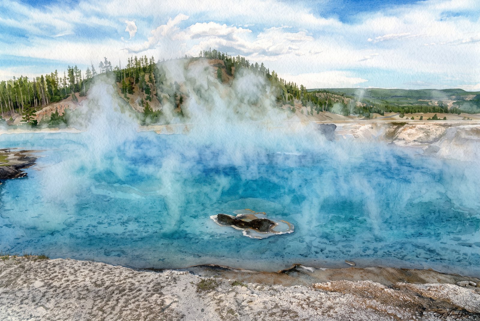 Watercolor
Excelsior Geyser Crater
Steam billows off the turquoise pool of Excelsior Geyser Crater in Yellowstone's Midway Geyser Basin and drifts across a pine-covered ridge above the Firehole River valley. Key Features: The Crater: About 200 by 300 feet, it pours more than 4,000 gallons of water a minute into the Firehole River. Historic Eruptions: In the 1880s Excelsior threw bursts 50 to 300 feet high, violence that blasted out the jagged crater and ended its regular eruptions. Renewed Activity: On September 14, 1985, it erupted again for 46 hours, with bursts up to 55 feet. The Setting: The crater sits beside Grand Prismatic Spring, along the road between Madison and Old Faithful.
Prints from $41Prints only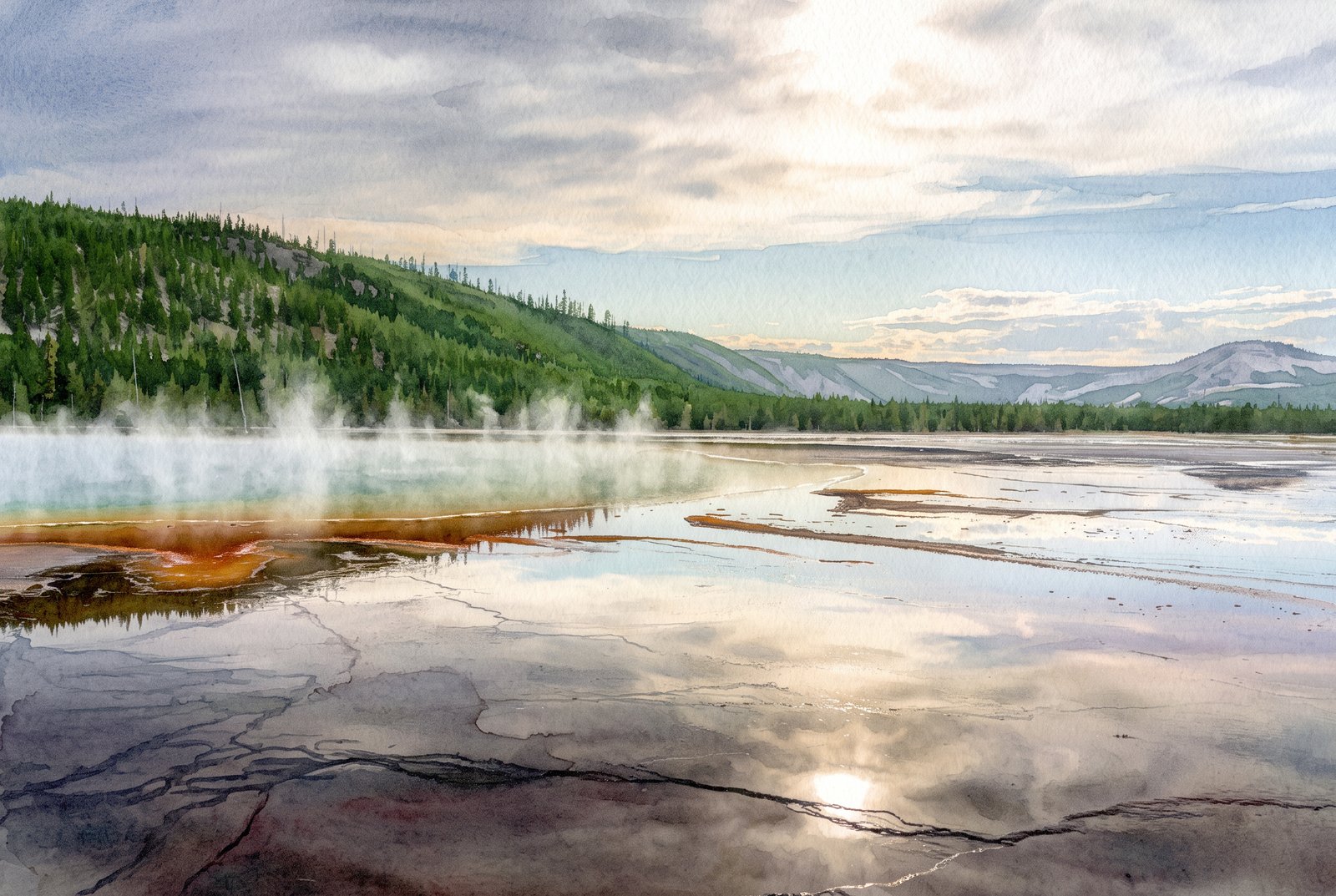 Watercolor
Grand Prismatic Spring
From ground level along the rim of Grand Prismatic Spring in Yellowstone's Midway Geyser Basin, steam drifts over mineral-colored runoff channels, while forested hills and distant mountains frame the basin and a soft, cloud-filtered sun reflects in the still water. Key Features: The Spring: The largest hot spring in the United States and the third largest in the world. The Colors: Bands of orange, yellow and green ring its deep blue water. The Setting: Midway Geyser Basin, Yellowstone National Park, in Teton County, Wyoming.
Prints from $41Prints only