


Photographer
Rick Billings, M. Photog., Cr.
Orlando, Florida
I've been a professional photographer since I graduated high school in 1978. I'm bringing over four decades of professional photography experience and offering images I captures as beautiful display prints in your home or office.
Collections
USA
80 photos
Arches, Bryce Canyon, Moab & Zion National Park - Utah
15 photos
Yellowstone National Park, Wyoming
32 photos
Grand Canyon National Park - Arizona
22 photos
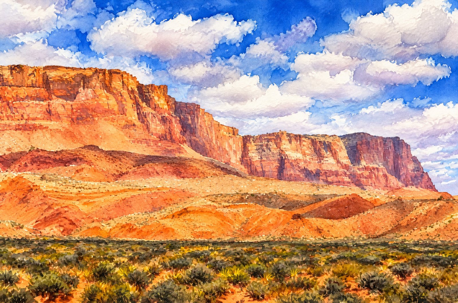
Lake Powell Page - Arizona
26 photos
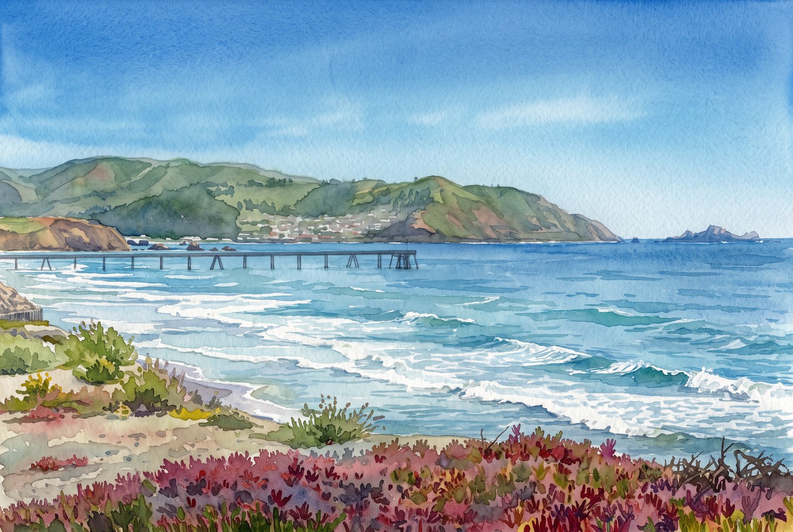
Pacific Coast, USA
36 photos
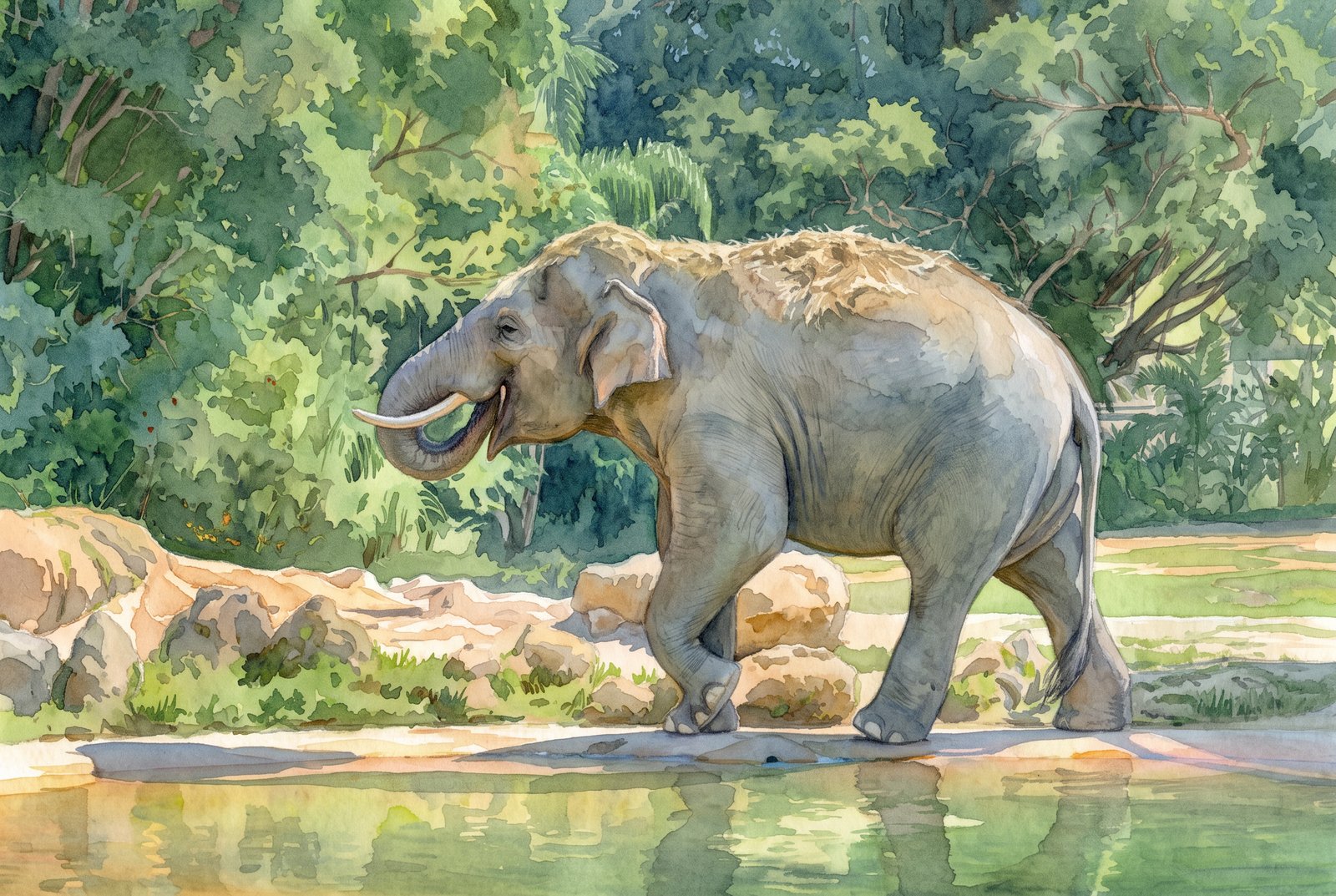
Animals
15 photos
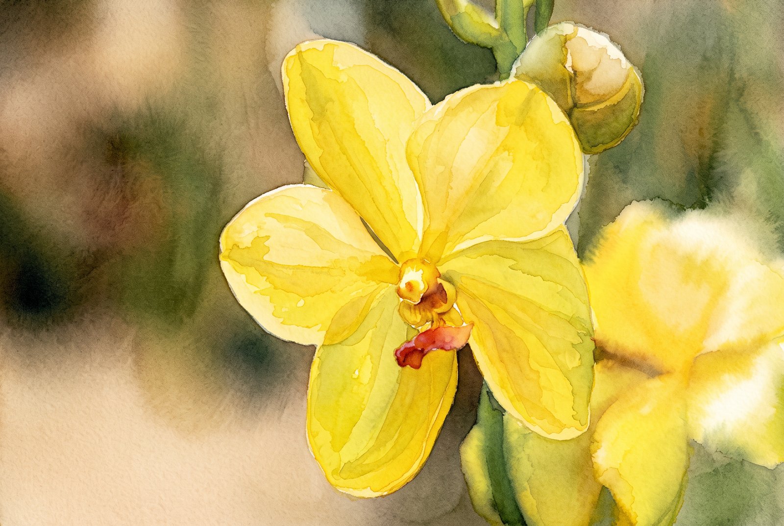
Flowers
18 photos
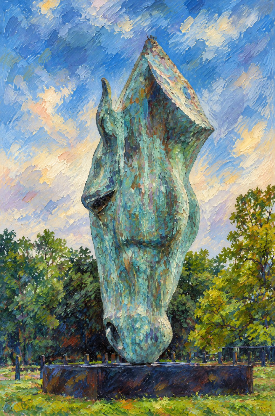
United Kingdom
15 photos
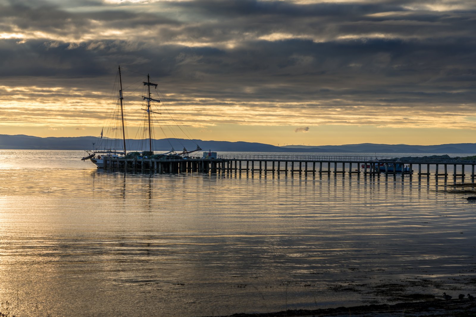
Scotland
54 photos
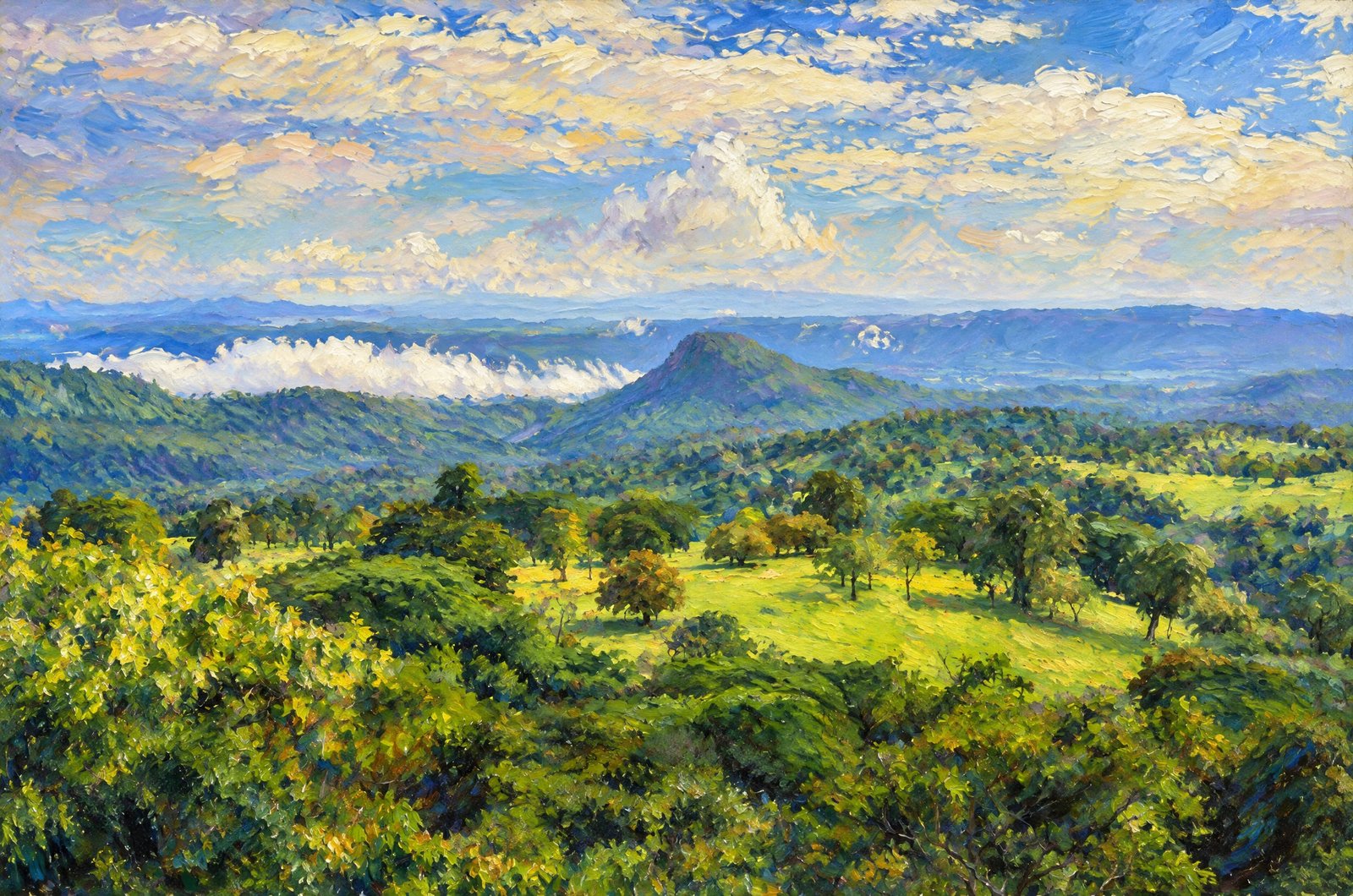
Costa Rica
2 photos
All Photos By Rick Billings, M. Photog., Cr.
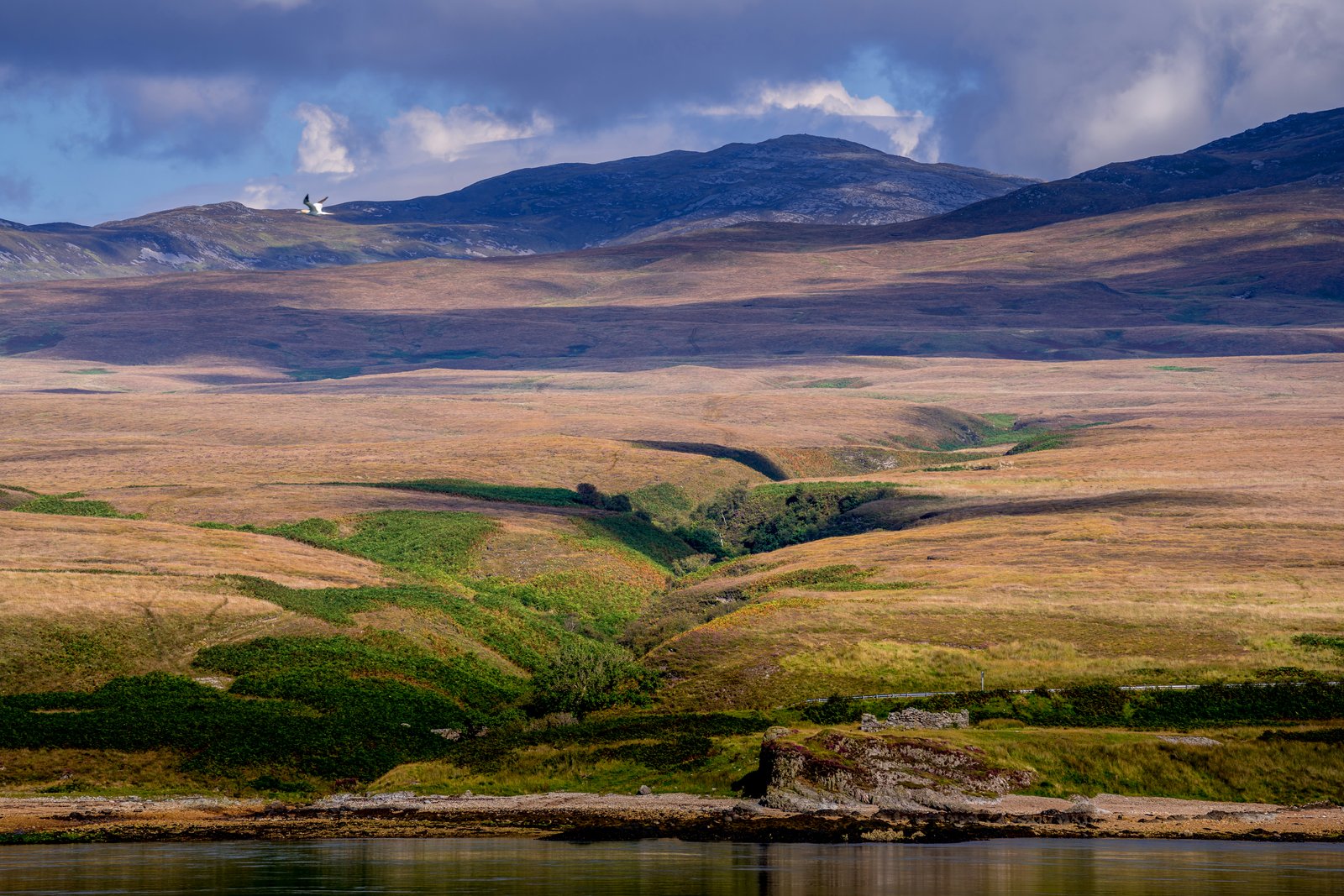
Loch Eriboll On Scotland North Coast
From the water of Loch Eriboll on Scotland's far north coast, the rocky Ard Neakie peninsula juts out with a ruined stone structure on its point, a single-track road tracing the shore beneath heather hills and layered Sutherland ridges fading into a cloud-filled sky. Key Features: The Loch: Loch Eriboll is a sea loch near Durness, best known as a deep-water anchorage used by the Royal Navy. Ard Neakie: The loch's most striking feature, a mound of land kept from becoming an island by a tombolo of sand and shingle joining it to the east shore. Industrial History: Four large lime kilns were built on Ard Neakie in 1870, where the Reay estate produced lime in quantity. Access: Before the coast road around the loch was built in 1890, the Heilam ferry ran from the quay at Portnancon on the west shore to Ard Neakie.
Prints from $22Downloads from $19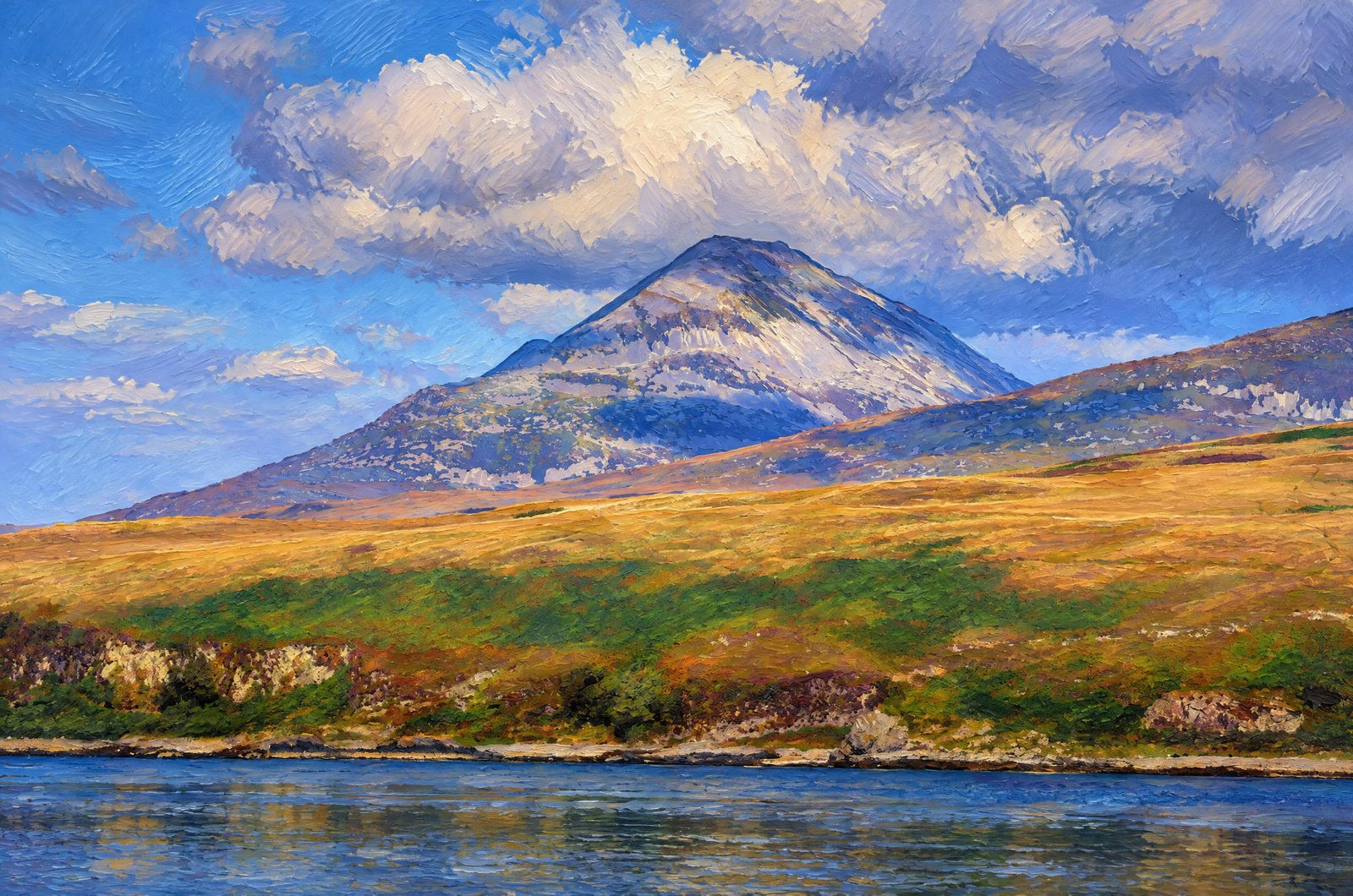 Painterly
Sound Of Islay
Across the Sound of Islay, the pale quartzite cone of Beinn an Oir rises above Jura's rough shore and moorland, its scree-streaked slopes catching the light under a bank of cloud, seen from the Islay side over rocky foreshore, grass and heather. Key Features: The Paps of Jura: Beinn an Oir is the highest of Jura's three conical Paps at 785 meters, their pale quartzite scree giving them a silvery, bare-topped look. The Sound of Islay: The narrow channel between Islay and Jura is a key passage in the Inner Hebrides, used by ferries and fishing boats. The Landscape: Coastal rock, heather and rough grazing are the look of Islay's thinly settled coast, where sheep farming and whisky distilling remain the main livelihoods.
Prints from $41Prints only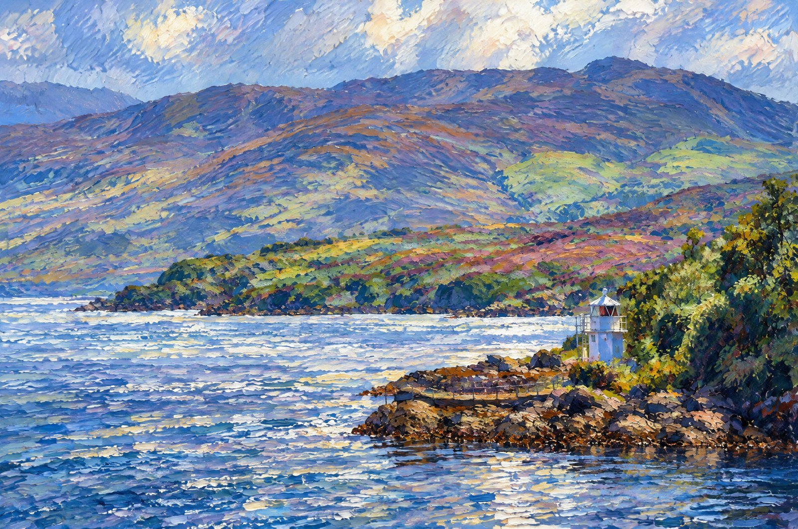 Impressionist
Sound Of Mull In The Scottish Highlands
A small automated navigation light stands on a rocky point on the Morvern shore, looking across the Sound of Mull in the Scottish Highlands to the heather-clad hills of the Isle of Mull, layered ridges receding beyond the water. Key Features: The Sound of Mull: The historic channel between the Isle of Mull and the Morvern and Ardnamurchan coasts, long a sheltered sailing route between the Hebrides and the mainland. The Light: A compact white beacon, one of the minor lights that guide vessels past the sound's currents and headlands. The Landscape: Heather moor and rounded hills rise steeply from the shore, the volcanic country shared by Mull and the mainland peninsulas. The Weather: Shifting cloud and sun pick out patches of purple heather and green hillside, the changeable light of Scotland's west coast.
Prints from $41Prints only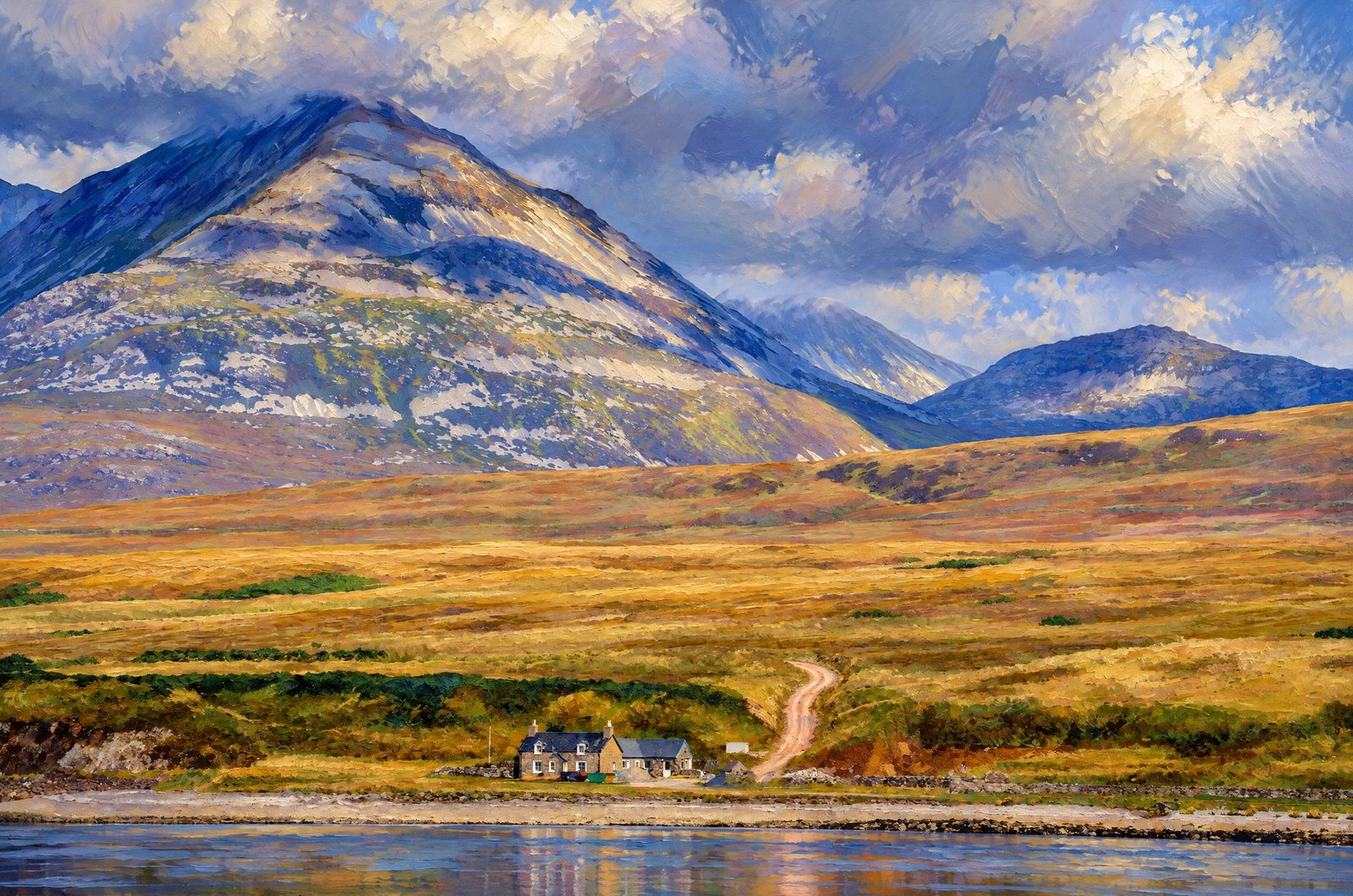 Painterly
Scotland's Isle Of Skye
A lone whitewashed croft house sits on the shore of Loch Sligachan on Scotland's Isle of Skye, a dirt track winding up from it through open moorland toward the rounded, scree-streaked summit of Glamaig, with lower peaks fading into cloud behind. Key Features: Glamaig: The northernmost of Skye's Red Hills, a two-topped mountain of Sgurr Mhairi and An Coileach towering over the road at Sconser. The Setting: The scattered crofting township lies along Loch Sligachan near Sconser, where the coast meets the Red Cuillin. The Terrain: Glamaig's pale, scarred slopes are loose granite scree, notoriously hard to come down despite the gentle climb. Ferry Link: Sconser, just along the shore, is where the ferry leaves for the neighboring Isle of Raasay.
Prints from $41Prints only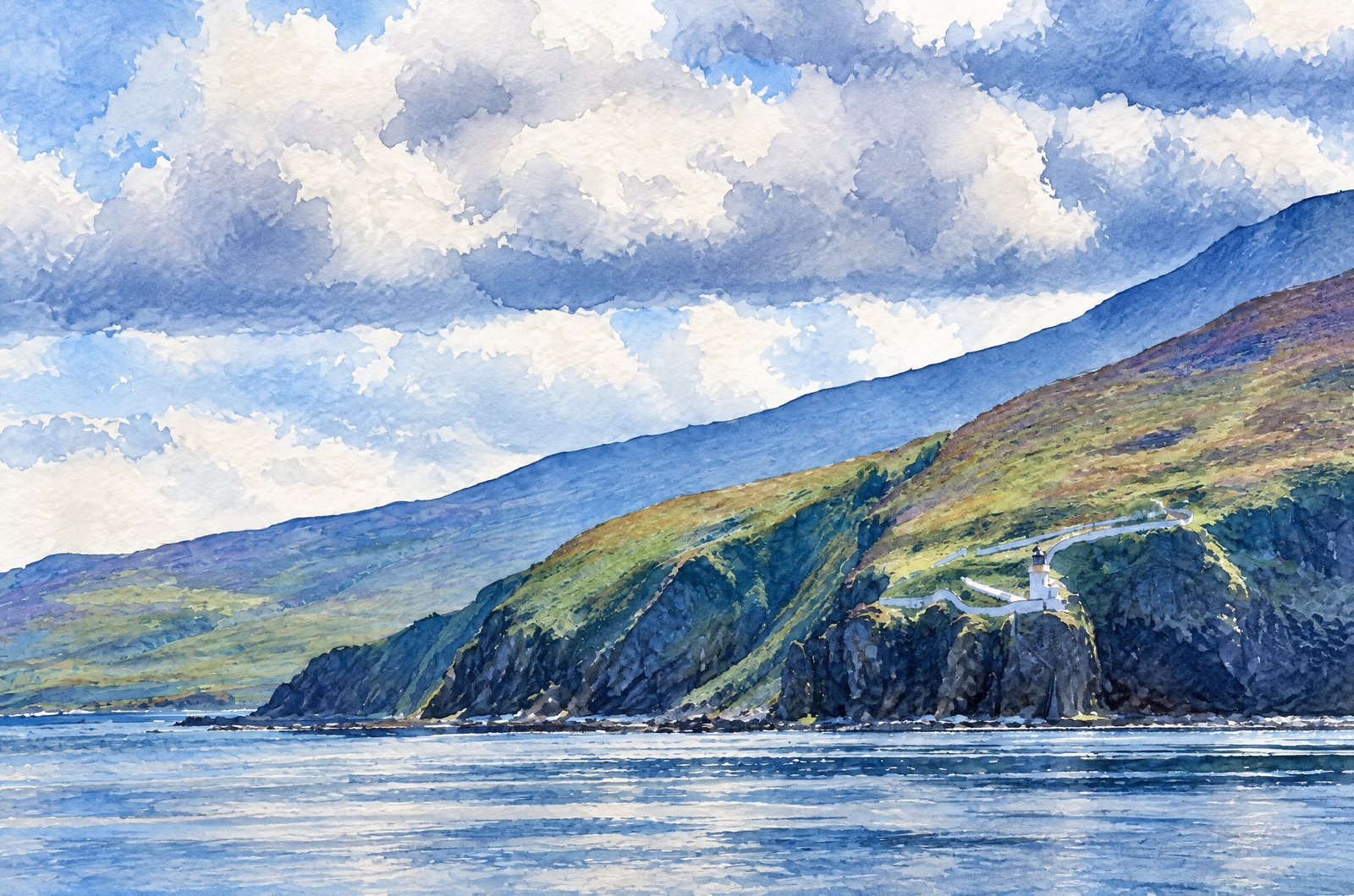 Watercolor
1425 Scotland
Across the water, the white tower of the Mull of Kintyre Lighthouse sits on dark cliffs at the rugged southwestern tip of Scotland's Kintyre peninsula, below the slopes of Beinn na Lice, with a steep switchback road winding down the hillside to the station about 300 feet above the sea. Key Features: The Lighthouse: Built in 1788 by engineer Thomas Smith, it was the second lighthouse commissioned by the Northern Lighthouse Board. The Setting: It stands on some of the highest cliffs on Scotland's west coast. The Outlook: On clear days the Antrim coast of Northern Ireland can be seen across the North Channel. The Access: A narrow road still zigzags from the clifftop down to the lighthouse.
Prints from $41Prints only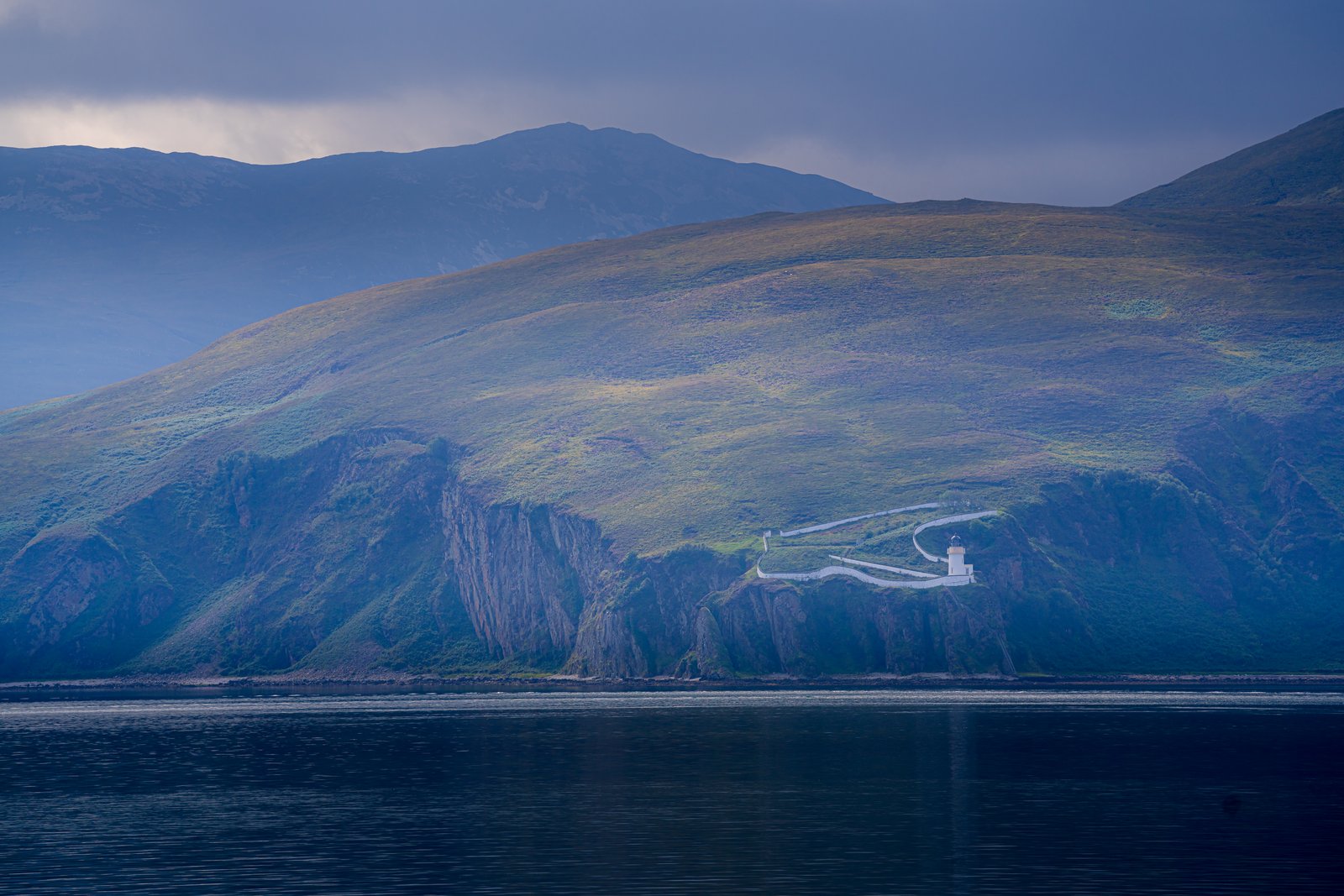
Mull Of Kintyre
A white lighthouse perches on the edge of towering cliffs at the Mull of Kintyre, the southwestern tip of the Kintyre peninsula in Argyll and Bute, Scotland, reached by a steep road that hairpins down the hillside, with layered ridges rising behind under a heavy, cloud-filled sky. Key Features: The Lighthouse: One of the first lighthouses of the Commissioners of Northern Lighthouses, first lit in 1788 and later rebuilt by Robert Stevenson. The Road: From a clifftop car park, the road hairpins down to the lighthouse a mile and a quarter away. The Cliffs: Among the highest on Scotland's west coast. The Isolation: At first there was no track at all, and every load of materials came by horseback from Carskey Bay, six miles away.
Prints from $22Downloads from $19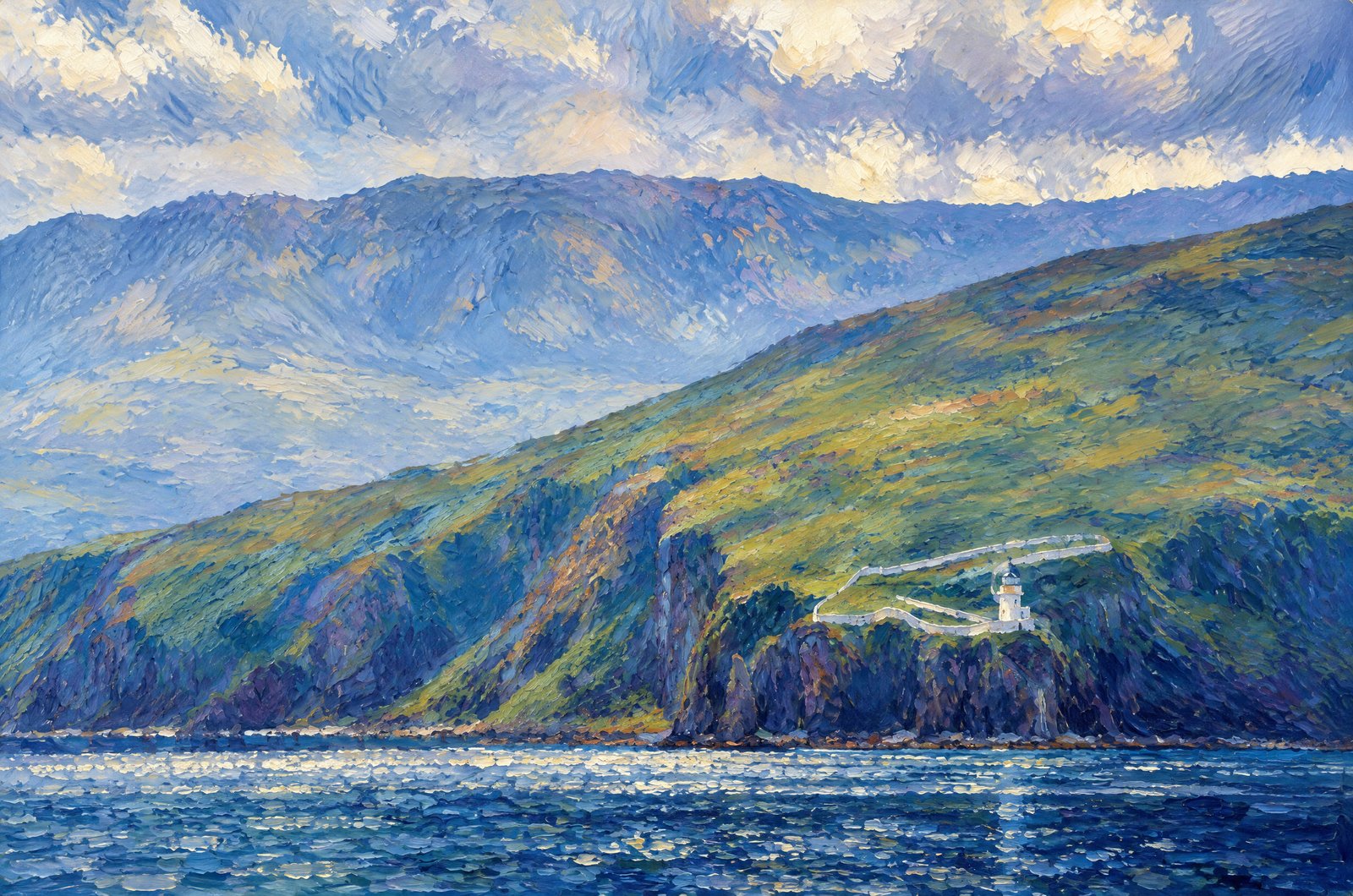 Impressionist
Rubha Nan Gall Lighthouse
Rubha nan Gall Lighthouse stands on the rocky coast just north of Tobermory on the Isle of Mull, its small white tower and keeper's cottage reached by a zigzag path down the grassy cliff, with the high, cloud-wreathed hills of the Ardnamurchan peninsula, Ben Hiant among them, rising across the Sound of Mull behind. Key Features: The Lighthouse: The 18.9-meter tower was built in 1857 by David and Thomas Stevenson and automated in 1960. Its Job: It marks the southern side of the northwestern entrance to the Sound of Mull. The Path: The cliffside walk from Tobermory looks out over the sound and its passing boats to Ben Hiant, Ardnamurchan's tallest hill.
Prints from $41Prints only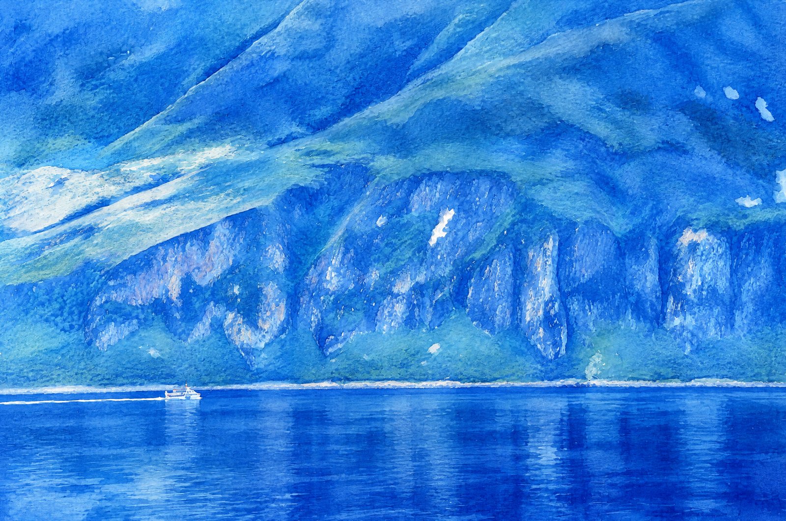 Watercolor
Scottish Highlands
A small boat cuts a thin white wake across the still, deep blue water of a sheltered Highland sea loch, dwarfed by the steep, furrowed mountainside rising on the far shore, its gullies streaked with scree and snow. Key Features: The Landscape: Scotland's west coast is cut by deep, glacier-carved sea lochs where mountains drop straight into tidal water. The Boat: A single small vessel gives scale to the vast hillside, on waters used for fishing, ferrying and wildlife tours. The Terrain: Scree, rock bands and patches of green on the slope show the weathered geology of Scotland's ancient Highlands.
Prints from $41Prints only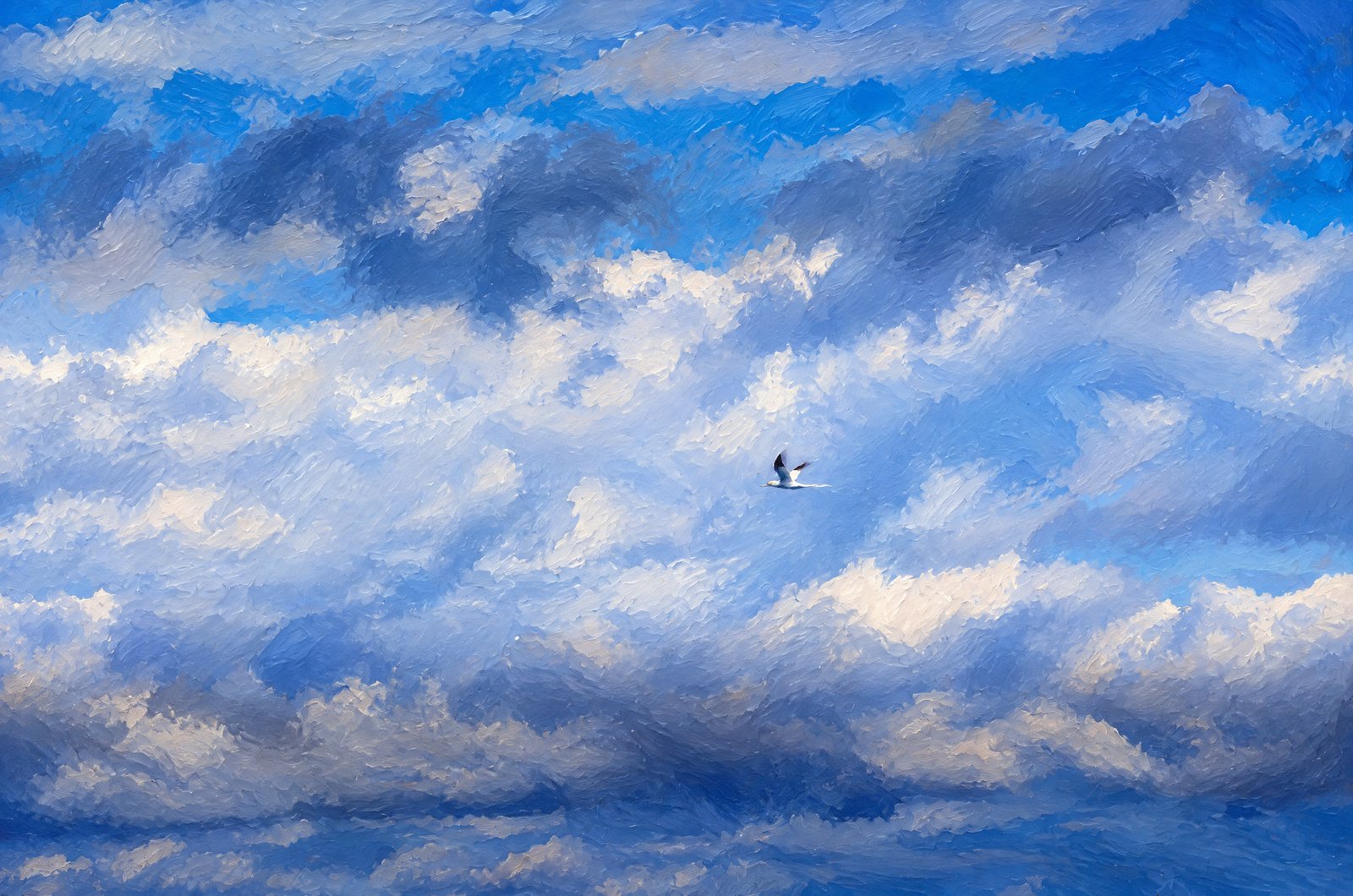 Painterly
Northern Gannet In Flight
A solitary Northern Gannet soars overhead along Scotland's coast, its sharp white body and black wingtips set against layered storm clouds and patches of deep blue sky. Key Features: The Bird: One of Britain's largest seabirds, bright white with black wingtips and a yellow-washed head. The Region: Scotland holds close to 60 percent of Europe's Northern Gannets, with great colonies at St Kilda, Hermaness, Bass Rock and Troup Head. The Sky: Heavy, textured cloud is the changeable Atlantic weather of the coastal cliffs where gannets nest and hunt. The Season: Gannets return to their Scottish colonies from February, a familiar sight along these shores for much of the year.
Prints from $41Prints only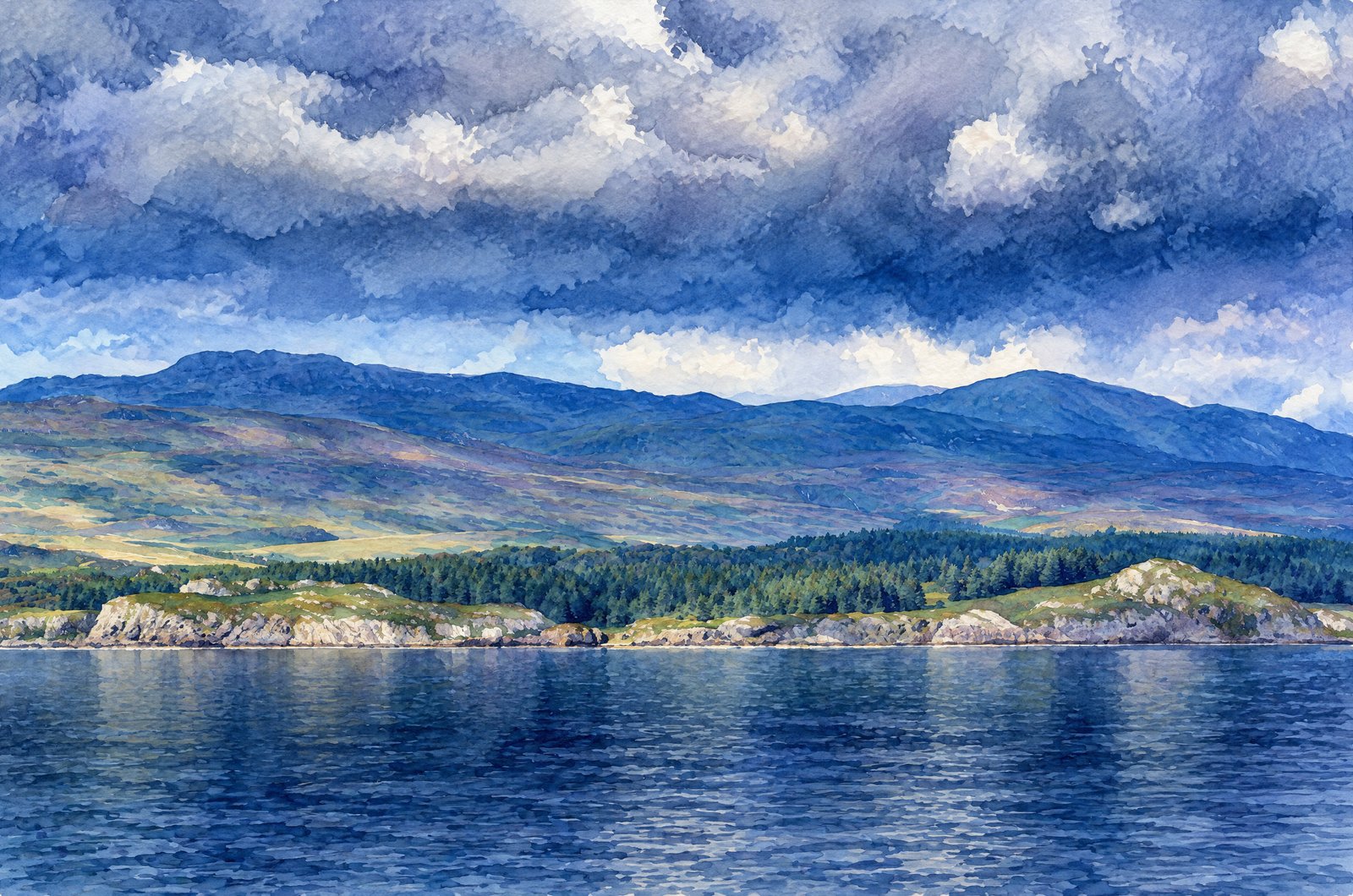 Watercolor
Scottish Highland Coast
A low rocky headland and dense conifer plantation lead up to rolling moorland hills along the Scottish Highland coast, calm dark water in front and layered terrain receding toward distant peaks under a heavy bank of storm cloud. Key Features: The Landscape: Glaciers shaped Scotland's west coast and sea lochs, leaving steep hillsides that drop straight into sheltered tidal water. The Vegetation: Rough moorland grazing meets planted conifer forestry, the dense dark green band along the shore. The Weather: Fast-moving Atlantic systems bring the low, heavy cloud and shifting light over the hills. The Setting: Remote hills and forestry meet quiet, undeveloped water along Scotland's sea lochs.
Prints from $41Prints only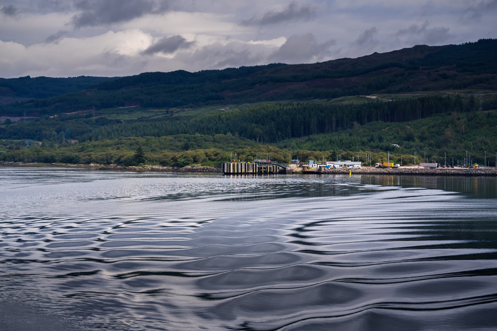
Sound Of Islay Toward The Feolin Slipway
A boat's wake ripples across the Sound of Islay as it pulls away from the Feolin slipway on the west coast of the Isle of Jura, where vehicles wait by the small concrete ferry pier below forested hills and open moorland rising toward the island's interior under a heavy sky. Key Features: The Crossing: Argyll and Bute Council runs a vehicle and passenger ferry across the Sound between Feolin on Jura and Port Askaig on Islay. The Vessel: The short crossing is served by the small car ferry MV Eilean Dhiura, named for Jura itself. The Sound: A narrow tidal strait between the two islands, with Jura's wooded lower slopes giving way to wild hill country. Feolin: A tiny place, little more than the ferry terminal and a few buildings for travelers.
Prints from $22Downloads from $19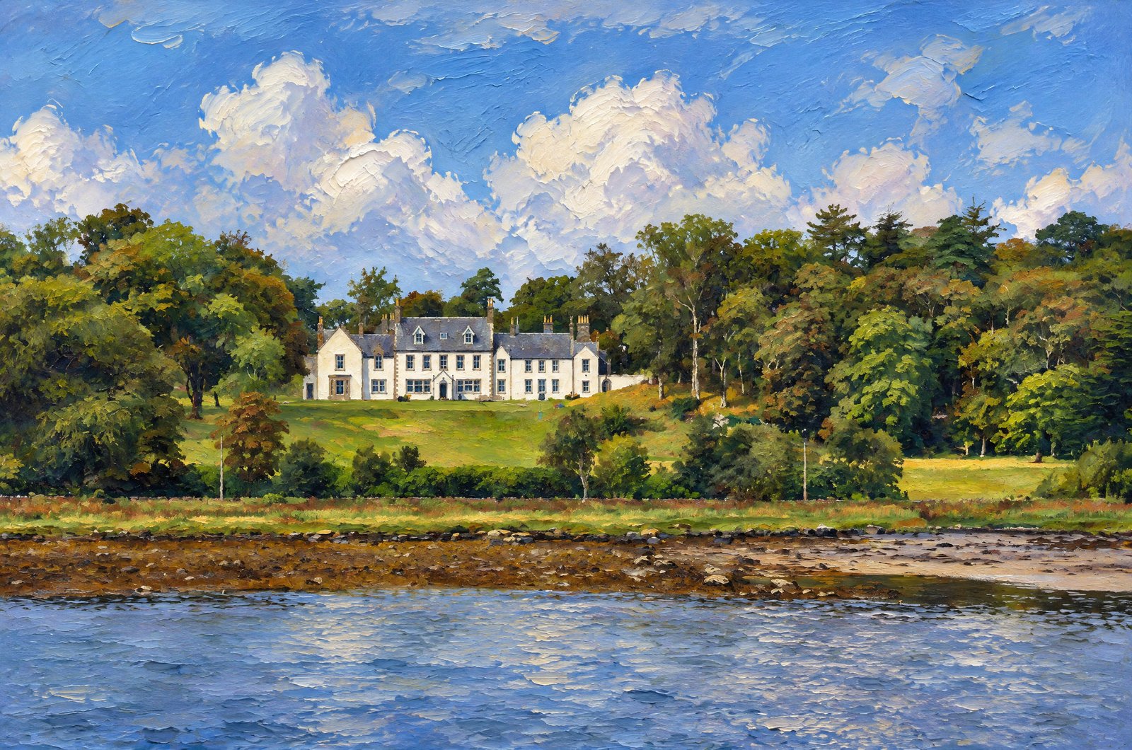 Painterly
Harled Country House
A large white harled country house sits on a wooded bank across a tidal sea loch on Scotland's west coast, its dormer windows, crow-stepped gables and many chimneys above open lawn framed by mixed woodland, with rock and seaweed bared by low tide in front under a sky of blue and gathering cloud. Key Features: The Style: The white facade, slate roof and stepped gables are the traditional Scottish laird's house, common on coastal estates from the 17th to 19th centuries. The Tide: The dark band of seaweed and rock marks the intertidal zone of a sea loch, a defining feature of the indented west coast. The Woodland: Mature estate trees were planted around houses like this to shelter them from Atlantic winds. The Setting: Great houses along Argyll's sheltered lochs were built to look out over sea routes and private anchorages.
Prints from $41Prints onlyOld Pier In Craighouse, Jura
A twin-masted tall ship lies moored along the old pier at Craighouse on the Isle of Jura, its rigging black against a heavy, glowing sunset, looking east across the Sound of Jura to the hills of Kintyre, where faint wind turbines line the far shore above a calm, shallow sandy bay at low tide. Key Features: The Village: Craighouse is the main settlement on Jura, a thinly settled, rugged island in Argyll and Bute. The Pier: The old pier has served the village's harbour, Small Isles Harbour, since the nineteenth century. Visiting Ships: Tall ships call at Craighouse now and then, often bringing visitors to the island's famous distillery. The Wider View: Across the Sound, the Kintyre peninsula forms the hazy backdrop, with wind turbines along its ridge.
Prints from $22Downloads from $19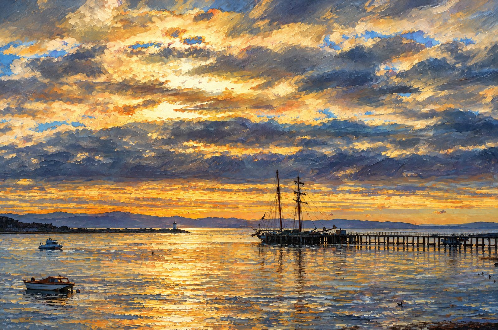 Painterly
Jura's Inner Hebrides
The sun breaks through heavy cloud at dusk over Craighouse on the Isle of Jura, as a two-masted sailing ship rests at the end of the long distillery pier and small dinghies sit on the still water, the far shore's low hills black against a dramatic, layered sky. Key Features: The Village: Craighouse is Jura's main settlement and the island's social hub, built around its pier and distillery. The Pier: The distillery pier has long linked the community to the sea, welcoming boats and traditional sailing ships. The Landscape: Jura is known for its rugged, empty coast and the famous peaks rising inland. The Light: Broken cloud and a glowing horizon are the changeable Hebridean weather that gives these shores their atmosphere.
Prints from $41Prints only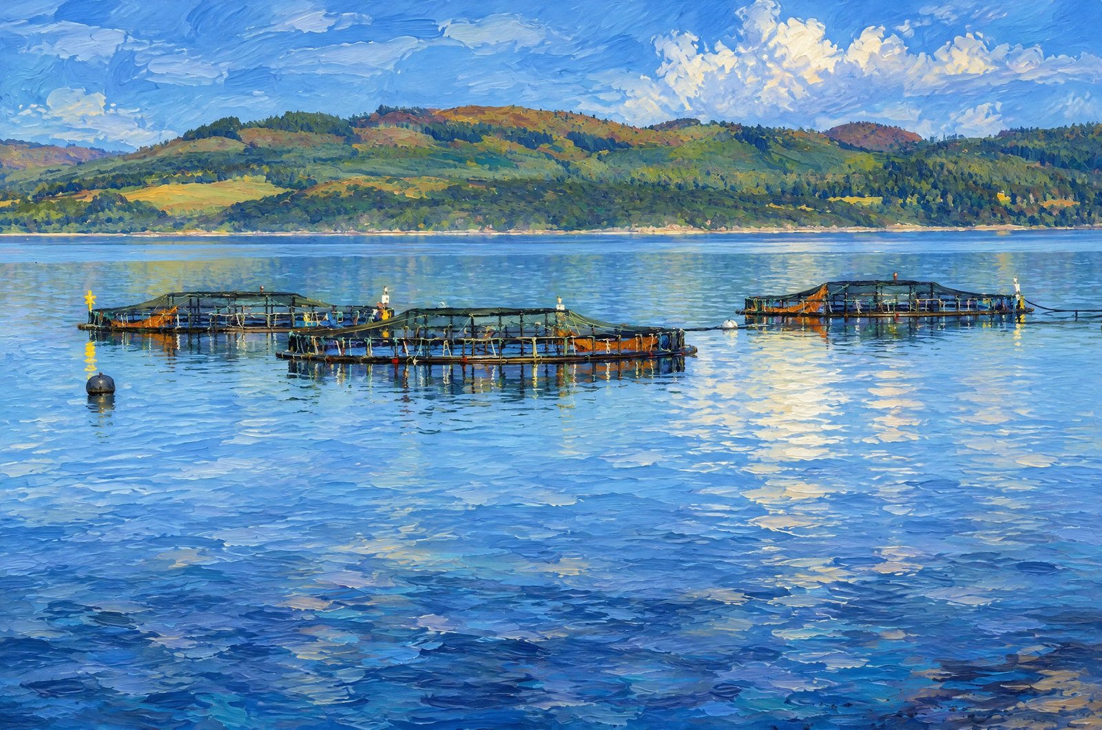 Painterly
Sheltered Sea Loch On The Scottish West Coast
Rows of circular salmon pens float on the calm water of a sheltered sea loch on the Scottish west coast, buoys marking their edges, with rolling, forested hills and scattered woodland rising beyond under a partly clouded sky. Key Features: The Pens: Floating rings hold large nets that keep the farmed salmon as they grow. The Sea Loch: Scotland's sheltered, deep lochs give calm, nutrient-rich water well suited to salmon farming. The Industry: Farmed salmon is central to the rural economy of the Highlands and islands and a major Scottish export. The Backdrop: Glen and loch country, the look of Scotland's west coast.
Prints from $41Prints only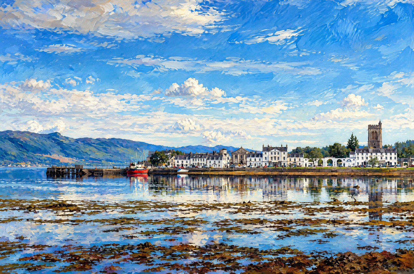 Painterly
Tidal Flats Of Loch Fyne
Across the tidal flats of Loch Fyne, the whitewashed Georgian terraces of Inveraray, the county town of Argyll, line the western shore, with the Argyll Arms Hotel and the Gothic bell tower of All Saints Church on the waterfront, the hills above Glen Shira behind and a small boat moored at the old quay. Key Features: A Planned Town: Inveraray was built new in the 1700s for the 3rd Duke of Argyll, replacing an older fishing village with orderly Georgian streets. The Bell Tower: The Gothic Revival tower beside the church, built in the early 20th century, holds one of the heaviest rings of bells in the world. Loch Fyne: The town stands where Loch Fyne meets Loch Shira, long central to Argyll's fishing and trade.
Prints from $41Prints only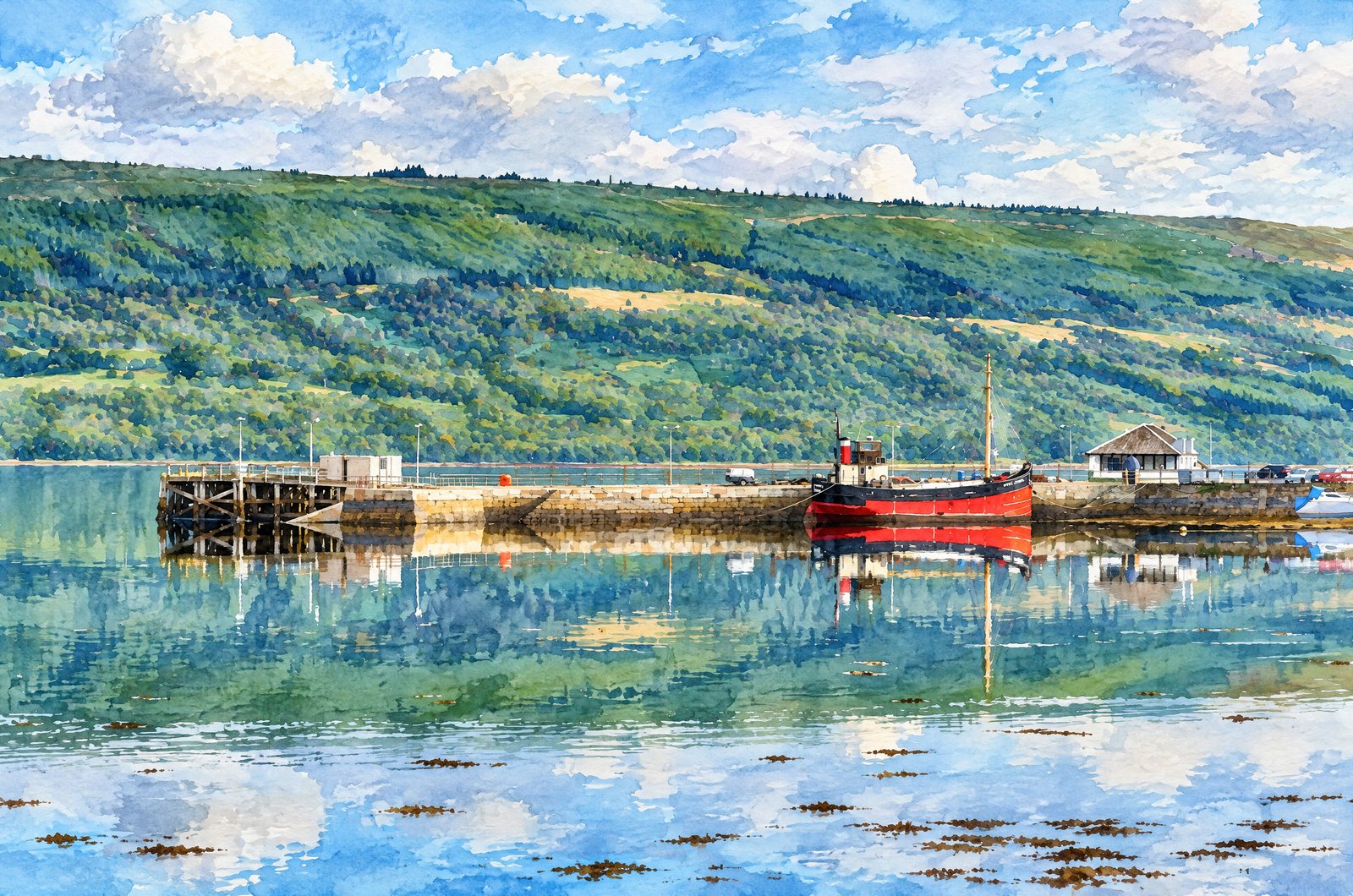 Watercolor
Inveraray's Old Stone Pier
The preserved Clyde puffer Vital Spark lies moored against Inveraray's old stone pier on Loch Fyne, the water so still that boat and hillside mirror in near-perfect symmetry, looking along the harbour wall to the pierhead buildings and wooded slopes across the loch. Key Features: The Vessel: The red-hulled puffer was built by Brown's Shipyard in Hull in 1944 as a naval stores carrier and later restored. The Name: She was renamed Vital Spark for Neil Munro's Para Handy stories, about the beloved fictional puffer skipper. The Pier: Inveraray's pier long served fishing boats and the cargo puffers that traded along the sea lochs. The Scene: Wooded shores and hills, reflected in still water, are the look of this stretch of the west coast.
Prints from $41Prints only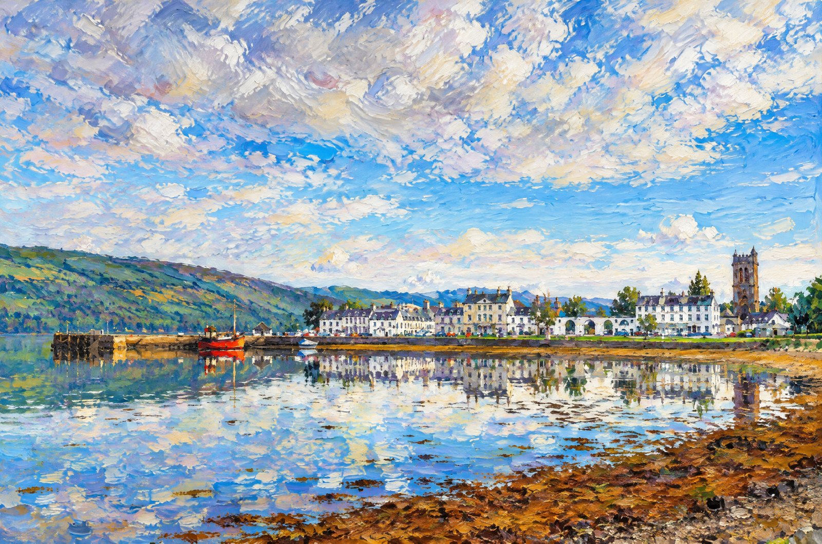 Impressionist
Inveraray On Loch Fyne, Argyll/Bute, Scotland
Inveraray's whitewashed Georgian seafront mirrors in the still, low-tide water of Loch Fyne in Argyll and Bute, Scotland, with the Inveraray Inn, the tall bell tower of All Saints Church, a small red fishing boat by the old pier and hills rising behind the town. Key Features: The Town Plan: The 3rd Duke of Argyll, Chief of Clan Campbell, built Inveraray in the mid-1700s where Loch Fyne meets Loch Shira, clearing the old fishing village for parkland and a planned town. The Bell Tower: The Duke's Tower is the detached bell tower of All Saints' Church. The Harbour: The listed pier served the Loch Fyne herring fishery and later Combined Operations training in the Second World War.
Prints from $41Prints only