

Collection
USA
By · 80 photos
 Impressionist
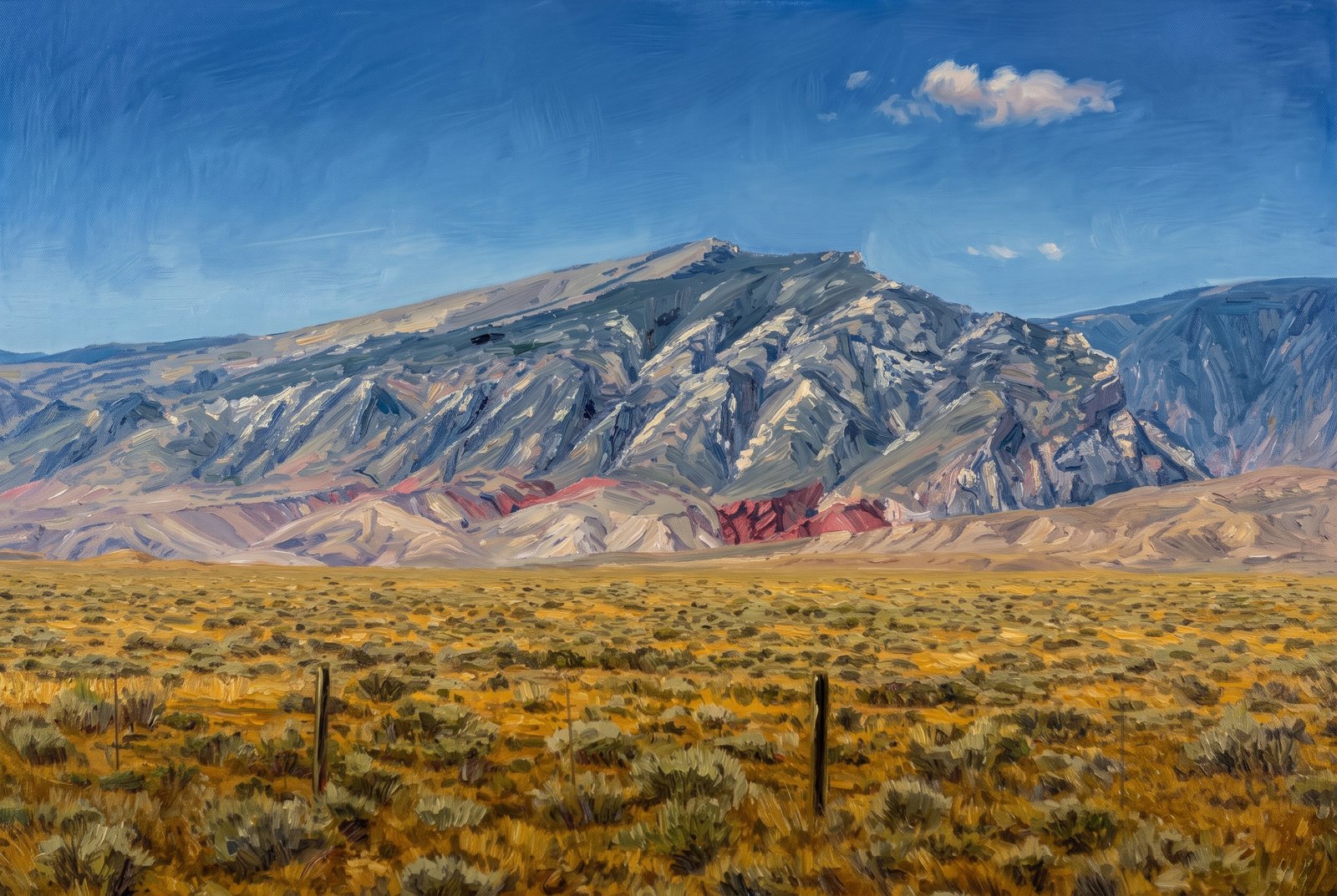
Clark's Fork Cody Wyoming
Pat O'Hara Mountain, a peak of the North Absaroka Range near the Clark's Fork of the Yellowstone north of Cody, Wyoming, rises beyond the sagebrush flats of the Bighorn Basin. A weathered fence line leads the eye from open rangeland to its fluted, forested flanks and bare summit ridge, with bands of red and purple sedimentary rock at its base. Key Features: The Peak: Pat O'Hara Mountain rises to about 9,977 feet and can be seen from Cody, Powell and across the northern Bighorn Basin. The Range: It stands at the northeastern edge of the Absaroka Range, in the Shoshone National Forest. The Colored Rock: The reddish bands at its base are older sedimentary layers exposed by erosion along the Clark's Fork drainage. The Setting: Sagebrush steppe and simple post fencing mark the ranching country of northwestern Wyoming.
Prints from $41Prints only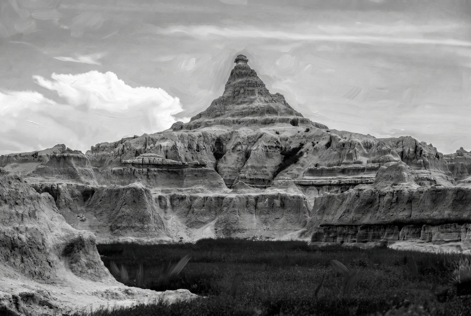 Painterly
Badlands Peak B&W
In black and white, a pyramid-shaped butte rises from the eroded terrain of Badlands National Park in southwestern South Dakota. From low across a grassy basin, the layered spire stands against a wide sky, with softer rounded formations and sharp ridgelines fanning out below it. Key Features: The Rock Layers: The Badlands are a layer cake of sedimentary rock laid down between 75 and 28 million years ago by shallow inland seas, rivers and wind. The Name: "Badlands" is the word for any place where erosion of loose sediments leaves a rugged, barren landscape. The Setting: The grassy prairie floor in front sets off the bare, wind-carved peaks behind it, a hallmark of this country.
Prints from $41Prints only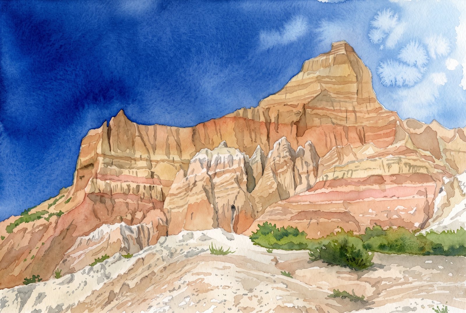 Watercolor
Badlands Twin Peaks
Two eroded pinnacles rise against a deep blue sky above layered clay buttes in Badlands National Park, South Dakota, seen from low on a rubble slope with sparse grass and sagebrush in front and striped, sculpted rock walls all around. Key Features: The Badlands Wall: A 60-mile stretch of rock tens of millions of years old that divides the upper prairie from the lower. The Rock Layers: Laid down 34 to 28 million years ago from sediment rich in volcanic ash, the Sharps and Brule Formations now form the sharply eroded peaks of the Badlands, the Wall among them. The Fossil Record: These deposits hold one of the world's richest fossil beds, with ancient horses and rhinos that once roamed here. The Wildlife: The park's 244,000 acres protect mixed-grass prairie where bison, bighorn sheep, prairie dogs and black-footed ferrets live today.
Prints from $41Prints only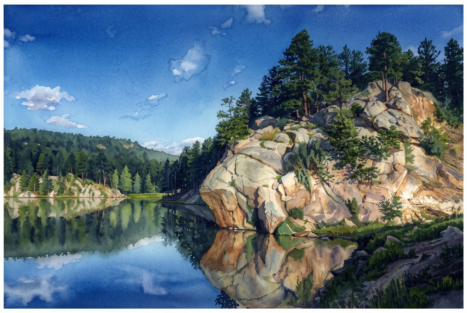 Watercolor
Rocky Water Lake
In a quiet cove of Horsethief Lake in the Black Hills of South Dakota, just two miles from Mount Rushmore, a sunlit granite outcrop crowned with ponderosa pines is mirrored in the still water. Key Features: The Setting: The lakeside campground sits among towering ponderosa and lodgepole pines in the central Black Hills. The Landscape: Granite peaks and twisting spires poke through the thick forest canopy around the lake. Recreation: The granite spires around Horsethief Lake and across the Black Elk Wilderness make this a favorite area for rock climbing.
Prints from $41Prints only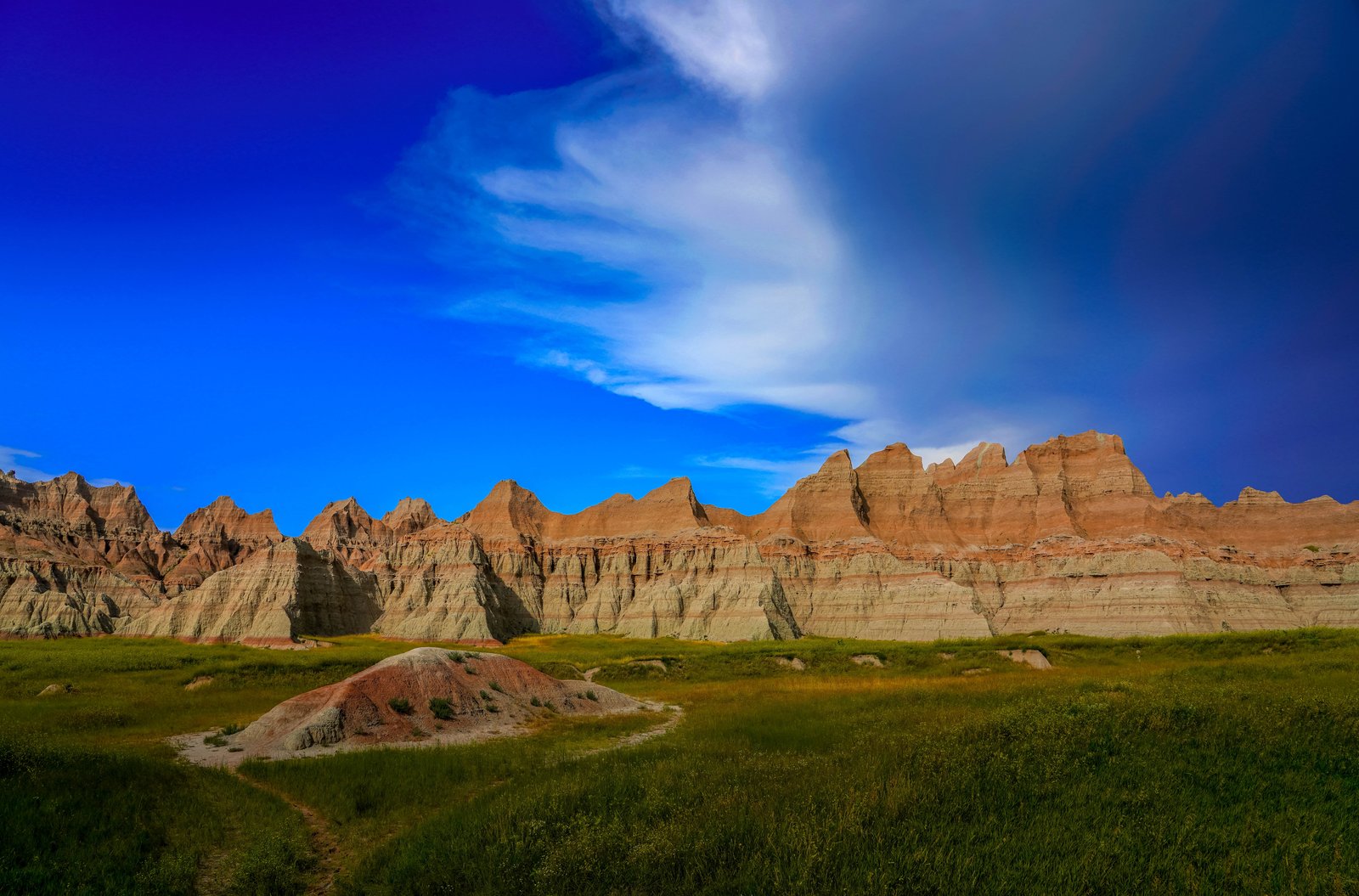
Badlands Sharps Formation
A small eroded knoll beside the trail gives way to a rugged wall of jagged spires and striped buttes in Badlands National Park, South Dakota, rising sharply from the prairie under a passing storm cloud. Key Features: The Sharp Ridges: These peaks belong to the Sharps Formation, whose base layer, the Rockyford Ash, is volcanic tuff from eruptions in the Great Basin. The Layered Rock: The formations show striking horizontal bands of sediment in varied shades. The Landscape: The park protects sharply eroded buttes and pinnacles alongside the largest undisturbed mixed-grass prairie in the United States.
Prints from $22Downloads from $19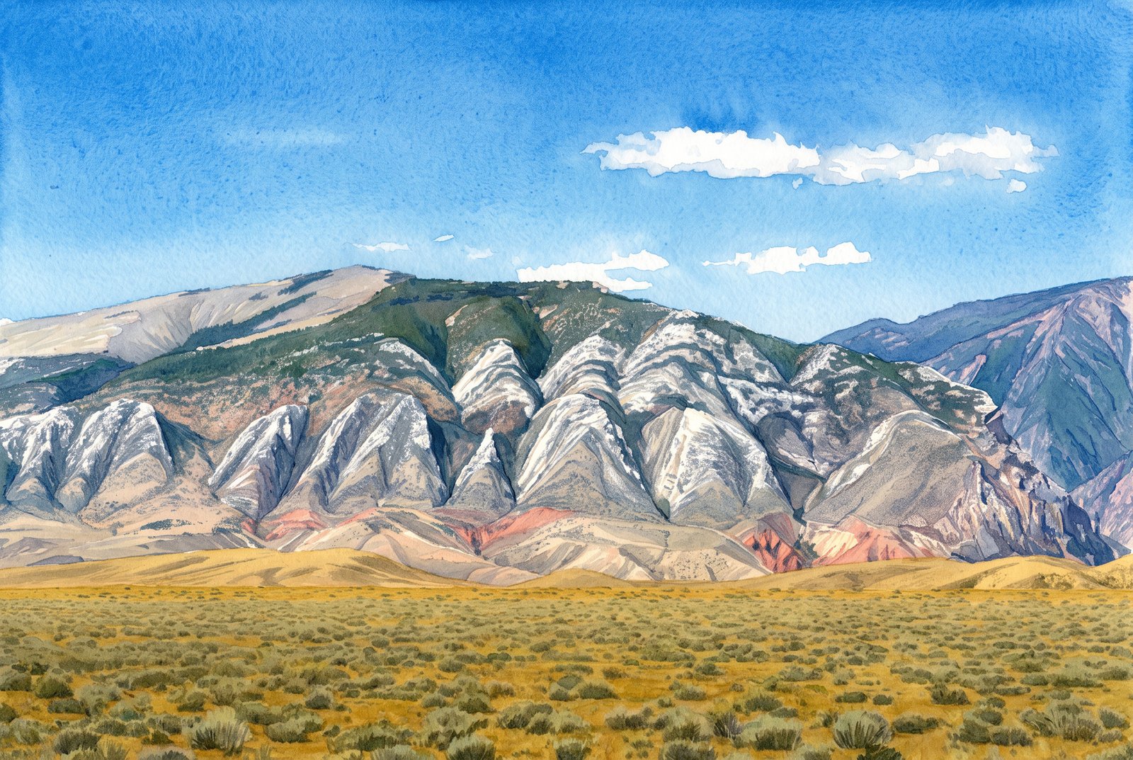 Watercolor
Clark's Fork Cody Wyoming
From the sagebrush flats near the mouth of Clarks Fork Canyon, north of Cody, Wyoming, the jagged Beartooth front rises in pale, saw-toothed peaks of uplifted Paleozoic limestone and dolomite, above a band of deep red Triassic Chugwater Formation folded and tilted by the same uplift. Key Features: The Skyline: Sharp, triangular summits of ancient carbonate rock rise abruptly from the plain, the mark of the Beartooth Front's dramatic uplift. The Red Beds: At the canyon mouth, the uplift of the Beartooth Mountains folded the Chugwater Formation, leaving the vivid red bands below the gray peaks. The Climate: The sagebrush plains here see less than 10 inches of rain and snow a year, as the mountains wring the moisture from the air. The Canyon: The Clarks Fork River cuts through the range in the Shoshone National Forest on its way to the Bighorn Basin.
Prints from $41Prints only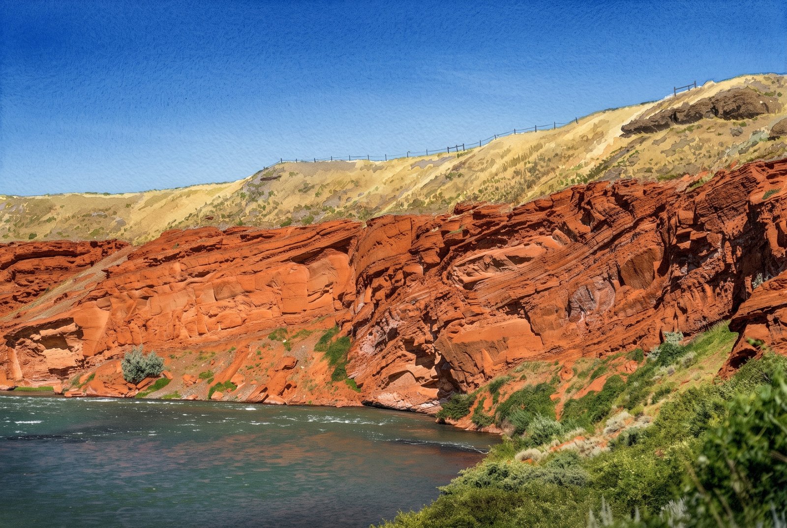 Watercolor
Shoshone Canyon River
The Shoshone River cuts through Shoshone Canyon near Cody, Wyoming, between the towering red sandstone cliffs of Rattlesnake and Cedar Mountains, with sagebrush slopes and grassy ridgelines rising to a clear blue sky. Key Features: The River: Below the Buffalo Bill Dam, the Shoshone River runs through the canyon between Cedar and Rattlesnake Mountains and on through Cody. Red Rock Canyon: This scenic stretch of river is a favorite with rafters. Gateway to Yellowstone: The canyon carries the road to the East Entrance of Yellowstone National Park. The Cliffs: The towering walls, shaped over millions of years, rise straight from the river.
Prints from $41Prints only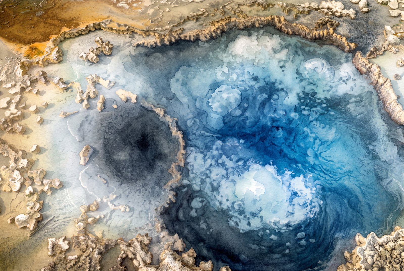 Watercolor
Blue Star Springs
Looking straight down into Blue Star Spring on Geyser Hill in Yellowstone's Upper Geyser Basin, superheated water surges and bubbles in a deep indigo center ringed by pale sinter and rust-colored bacterial mats. Key Features: Geyser Hill: The spring sits in the Upper Geyser Basin near Old Faithful, one of the densest gatherings of hydrothermal features on Earth. The Name: It is named for its star-shaped vent and the vivid blue of its clear, mineral-rich water. Rare Activity: Usually a quiet pool, Blue Star has erupted as a geyser now and then, most recently on record in 2002. The Heat: The water averages nearly 191 degrees Fahrenheit, keeping it in constant, gentle motion.
Prints from $41Prints only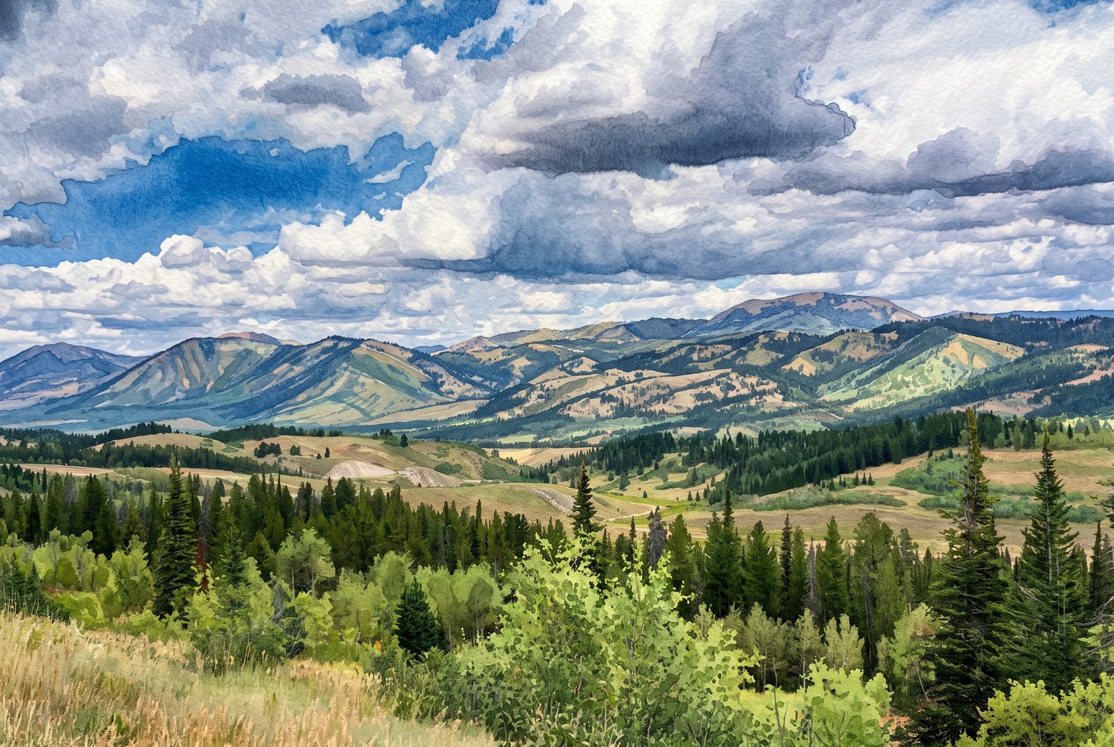 Watercolor
Jackson WY Scenic
Looking southeast across the high country outside Jackson, Wyoming, a ranch road winds through open sagebrush meadows before the land climbs through lodgepole pine and aspen to the rounded, timbered summits of the Gros Ventre Range under towering summer cumulus. Key Features: The Gros Ventre Range: East of Jackson Hole, these mountains have rounded sedimentary peaks, unlike the jagged granite of the nearby Tetons. The Valley Floor: Jackson Hole sits at about 6,200 feet, with ridgelines and foothills rising through mixed conifer and aspen forest. Ranching Heritage: Dirt roads and open meadows show the land still used for grazing and homesteads amid protected forest. The Weather: Afternoon cumulus like this is common in the Rockies in summer, often ahead of brief mountain thunderstorms.
Prints from $41Prints only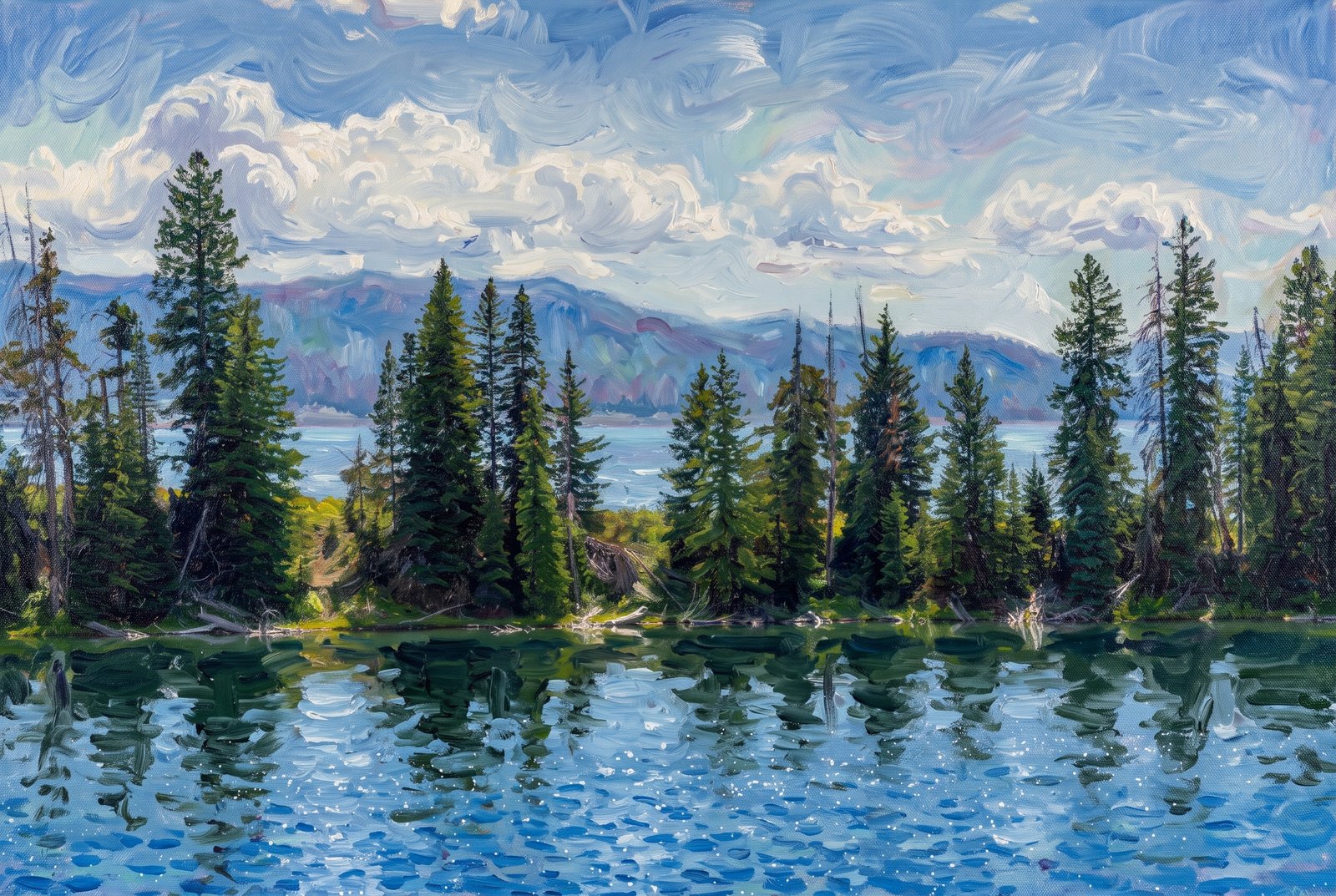 Impressionist
Lake Cody Wyoming
A small, tree-lined pond opens onto a much larger lake in the high country near Cody, Wyoming, with the ridgelines of the Absaroka Range rising hazily beyond a screen of conifers. Key Features: The Shoshone National Forest: America's first national forest, established in 1891 just outside Cody, holds thousands of mountain lakes and ponds. The Absaroka Range: The layered blue peaks are part of this volcanic range at the edge of the Greater Yellowstone Ecosystem. The Region: Cody is the gateway to this remote high country, prized for fishing, camping and unspoiled mountain scenery.
Prints from $41Prints only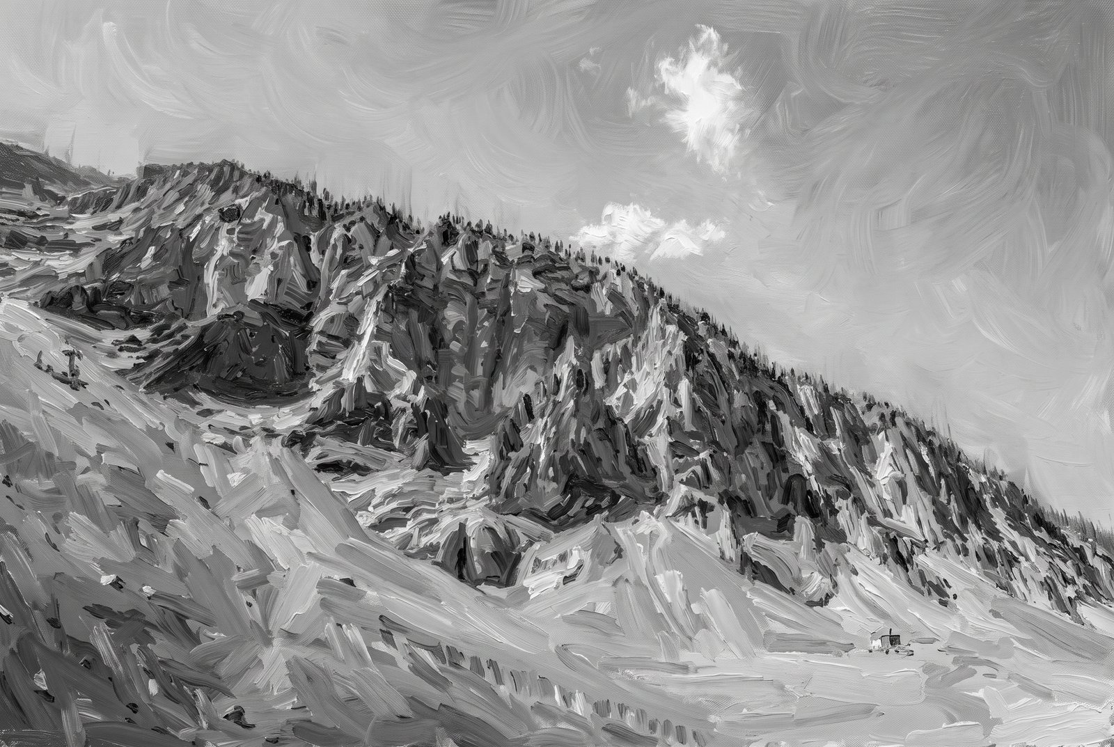 Impressionist
Cody Wyoming Mountains B&W
Deeply eroded volcanic spires and gullies climb the crumbling flank of Cedar Mountain, also called Spirit Mountain, just west of Cody, Wyoming. In black and white from the scree at its base, a single small cabin sits dwarfed at the foot of the slope as a lone cloud drifts past the summit. Key Features: The Name: Crow tradition called it the mountain of spirits, and settlers reported Native tree burials on its slopes. The Geology: The mountain is volcanic breccia, weathering into jagged, crumbling pinnacles. The Setting: It faces Rattlesnake Mountain across the Shoshone River gorge, near Buffalo Bill Reservoir. The Legend: Local lore ties the mountain to showman Buffalo Bill Cody, who wished to be buried there.
Prints from $41Prints only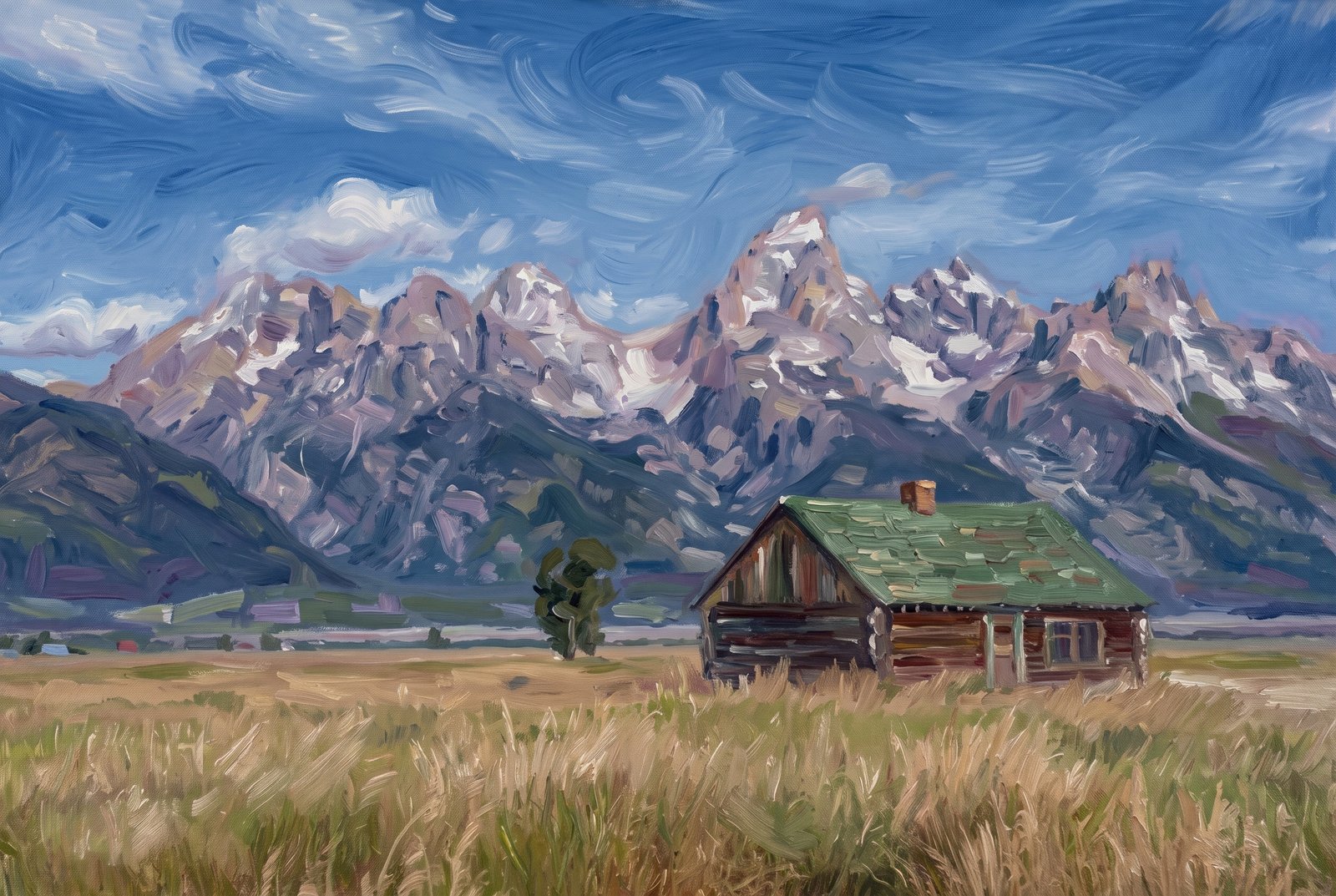 Impressionist
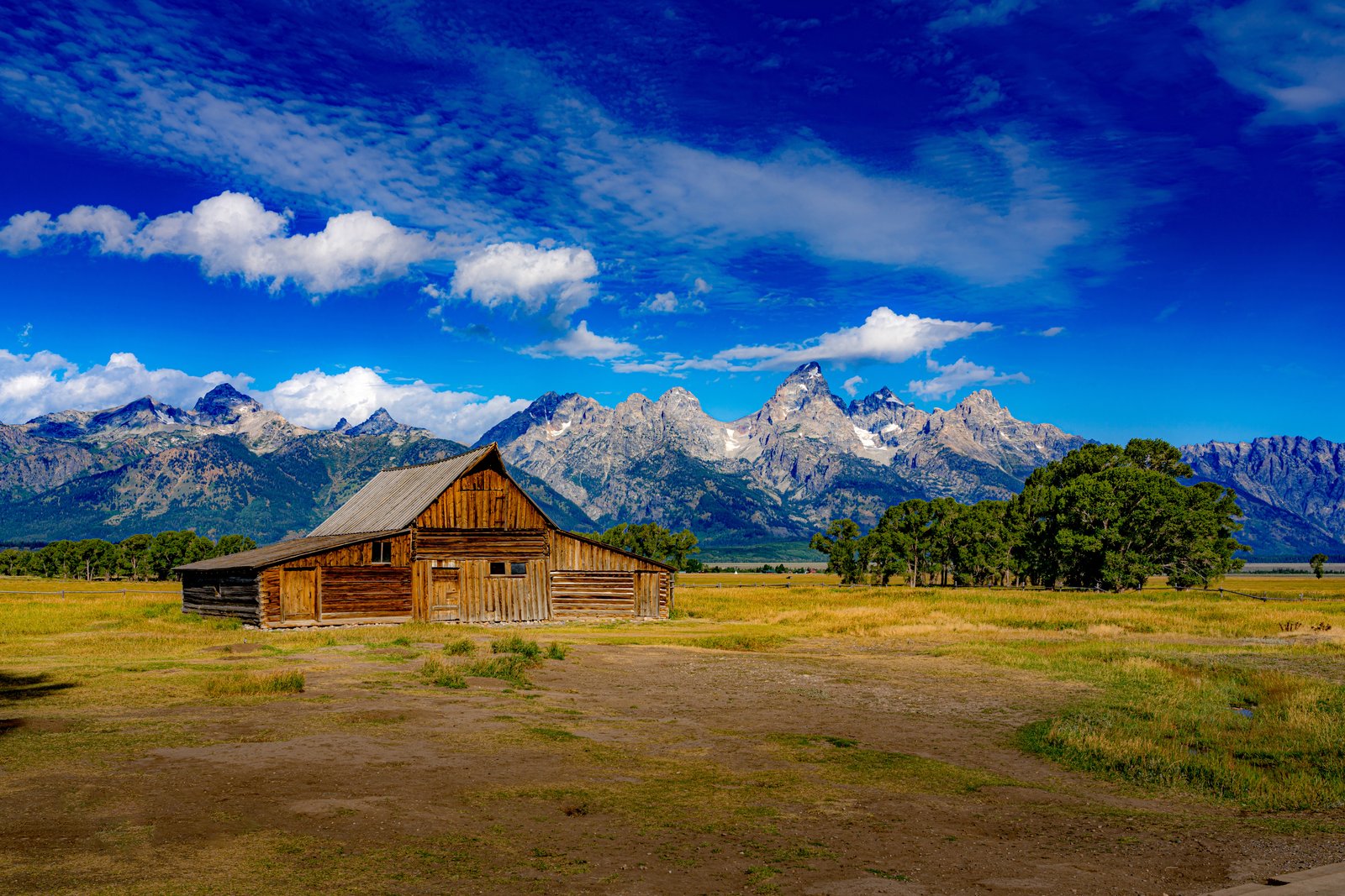
Grand Teton Barn
The T.A. Moulton Barn stands alone in a grassy homestead field on Mormon Row in Grand Teton National Park, its green shingled roof and weathered log walls facing west toward the Teton Range, the upper slopes still streaked with summer snow under scattered clouds. Key Features: Homestead History: Mormon settlers from Idaho crossed Teton Pass into Jackson Hole in the late 1800s and early 1900s and built farms along this row. Alma Moulton began his barn in 1912 to shelter his horses, and it was decades before he called it finished. A Protected Landmark: Mormon Row became part of Grand Teton National Park in the mid-1900s, and in 1997 the district joined the National Register of Historic Places. The Backdrop: The Tetons rise straight from the valley floor with no foothills, one of the most photographed skylines in the American West. Preservation: Crews and volunteers, Moulton family members among them, have repaired the barn's steep roof to keep it standing.
Prints from $41Prints only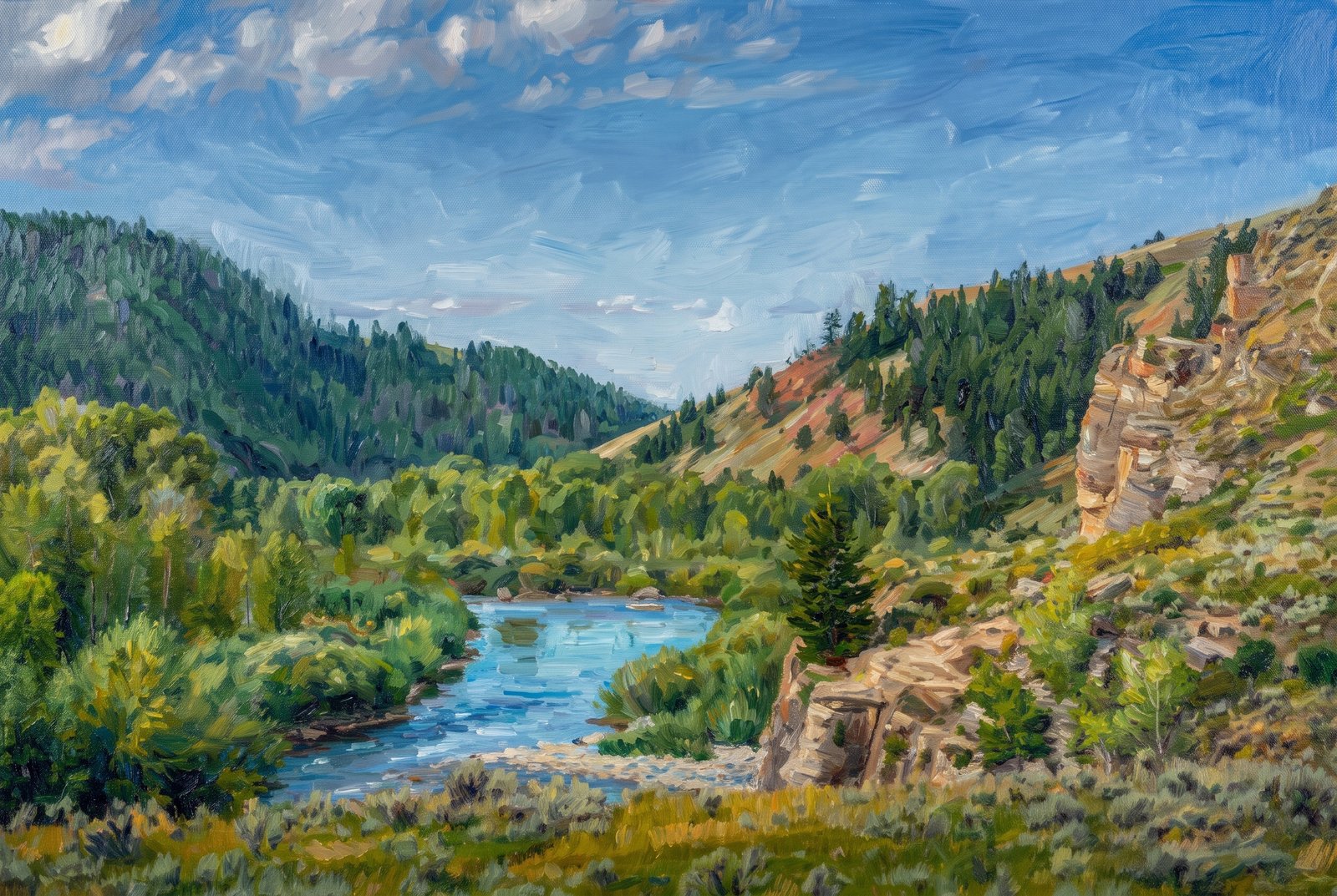 Impressionist
Jackson Hole River
The Gros Ventre River bends through its forested canyon east of Jackson Hole, Wyoming, in the Bridger-Teton National Forest, seen from a grassy bluff over cottonwood-lined banks, a sagebrush slope and a weathered sandstone outcrop, with pine-covered ridges fading under a clear summer sky. Key Features: The River: Flowing down from Slide Lake through multicolored terrain, the Gros Ventre carves a scenic canyon east of Grand Teton National Park. The Rock: Where the river cut through the overlying Tensleep Sandstone, it left the rock with nothing holding it in place, shaping the cliffs along the canyon. The Wilderness: The Gros Ventre runs from lush meadows to steep limestone pinnacles, with grand views of the Teton Range. History: The canyon is near the site of the 1925 Gros Ventre landslide, one of the region's most notable geologic events.
Prints from $41Prints only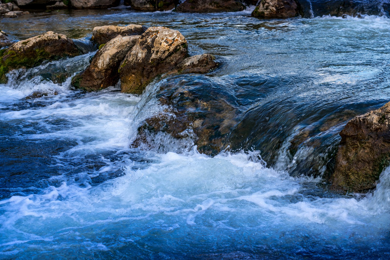
Black Hills Stream
A rushing stream tumbles over weathered limestone boulders in the Black Hills of South Dakota, seen low at the water so the eye follows the current as it churns white against the rock. Key Features: The Black Hills: Forested mountains rising from the northern prairie, known for granite and limestone shaped by flowing water. Trout Waters: Black Hills streams and lakes hold rainbow, brown and brook trout, managed for naturally reproducing populations, and clear, fast water like this is their habitat. The Close View: Framing only water and stone puts the force and clarity of the current front and center.
Prints from $22Downloads from $19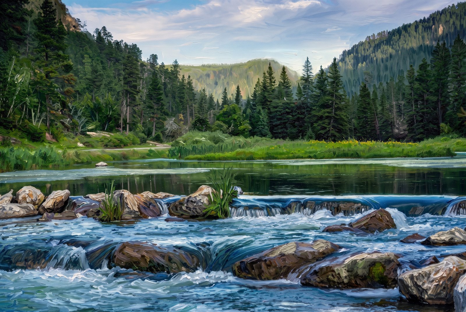 Painterly
Black Hills Stream
Clear water tumbles over a low rock ledge into a still, tannin-dark pool on a quiet Black Hills stream in South Dakota, with tumbled granite boulders in front and ponderosa pine ridgelines and a wide, grassy meadow beyond the far bank. Key Features: The Black Hills: An isolated range of ancient granite peaks rising from the northern Great Plains, prized for dense pine forest and cold, spring-fed streams. The Cascade: Low ledges like this one form gentle falls along Black Hills creeks, which support trout fisheries. The Forest: Ponderosa pine and spruce cover the hillsides, National Forest land used for hiking, fishing and camping. The Light: Soft, overcast light gives the water its deep blue-green cast.
Prints from $41Prints only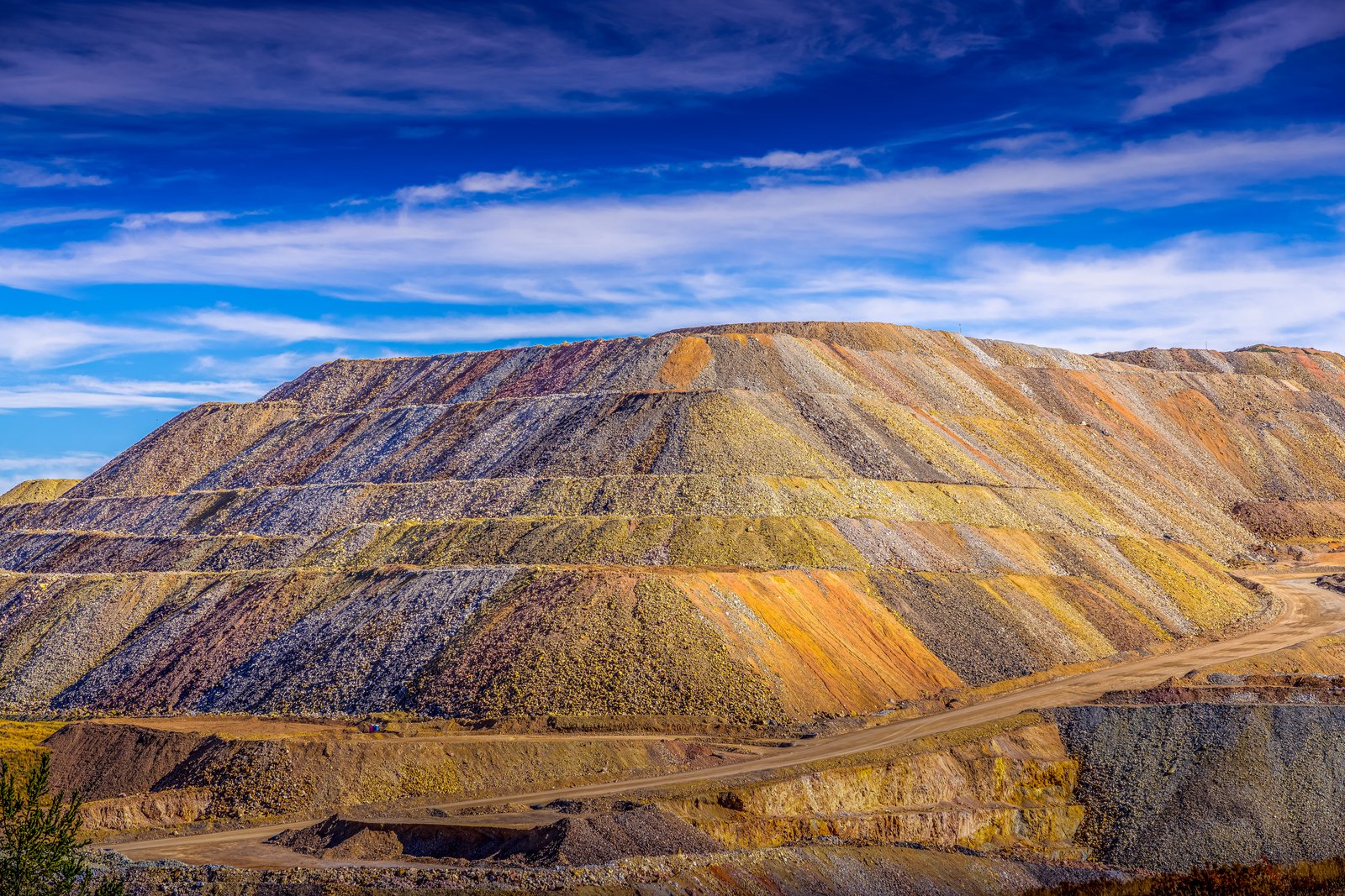
Cripple Creek CO
Terraced benches of waste rock, stained in bands of gold, rust and gray by mineralized stone, rise above a haul road curling along the valley floor at the Cripple Creek and Victor Gold Mine, in the mountains southwest of Colorado Springs. Key Features: The Mine: For many years the Cripple Creek Mining District was a series of underground mines. Modern Operation: After 40 quiet years, the district came back to life in the 1990s with a modern open-pit mine that still produces gold every year. Historic Roots: The town of Cripple Creek was founded in 1892, after the gold strike. The Colors: The banded terraces show the varied minerals in the rock removed to reach the ore, stacked in graded benches.
Prints from $22Downloads from $19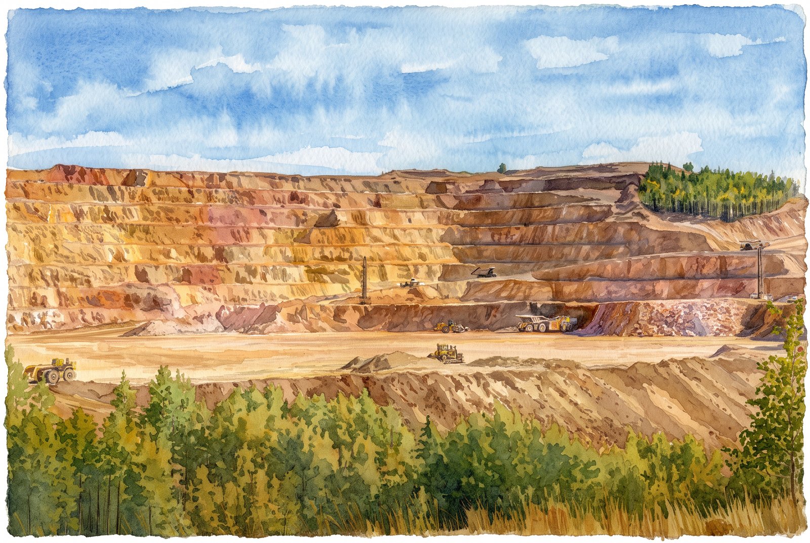 Watercolor
Cripple Creek Gold Mine
The massive open pit of the Cripple Creek and Victor Gold Mine cuts into the mountains of Teller County, Colorado, its rust-colored benches rising in tiers above a gravel floor where haul trucks, loaders and dozers work in clouds of dust, with golden aspen along the rim under a bright blue sky. Key Features: The Discovery: Gold was found here in 1890, starting a rush that made the district one of the richest gold camps in the American West. The Operation: The richest gold mine in Colorado history, and the only major gold producer left in the state. The Open Pit: Underground mining here goes back to the 1890s; the modern open pit opened in 1994. The Setting: The terraced benches expose colorful mineralized rock, ringed by the aspen and pine of the high Rockies.
Prints from $41Prints only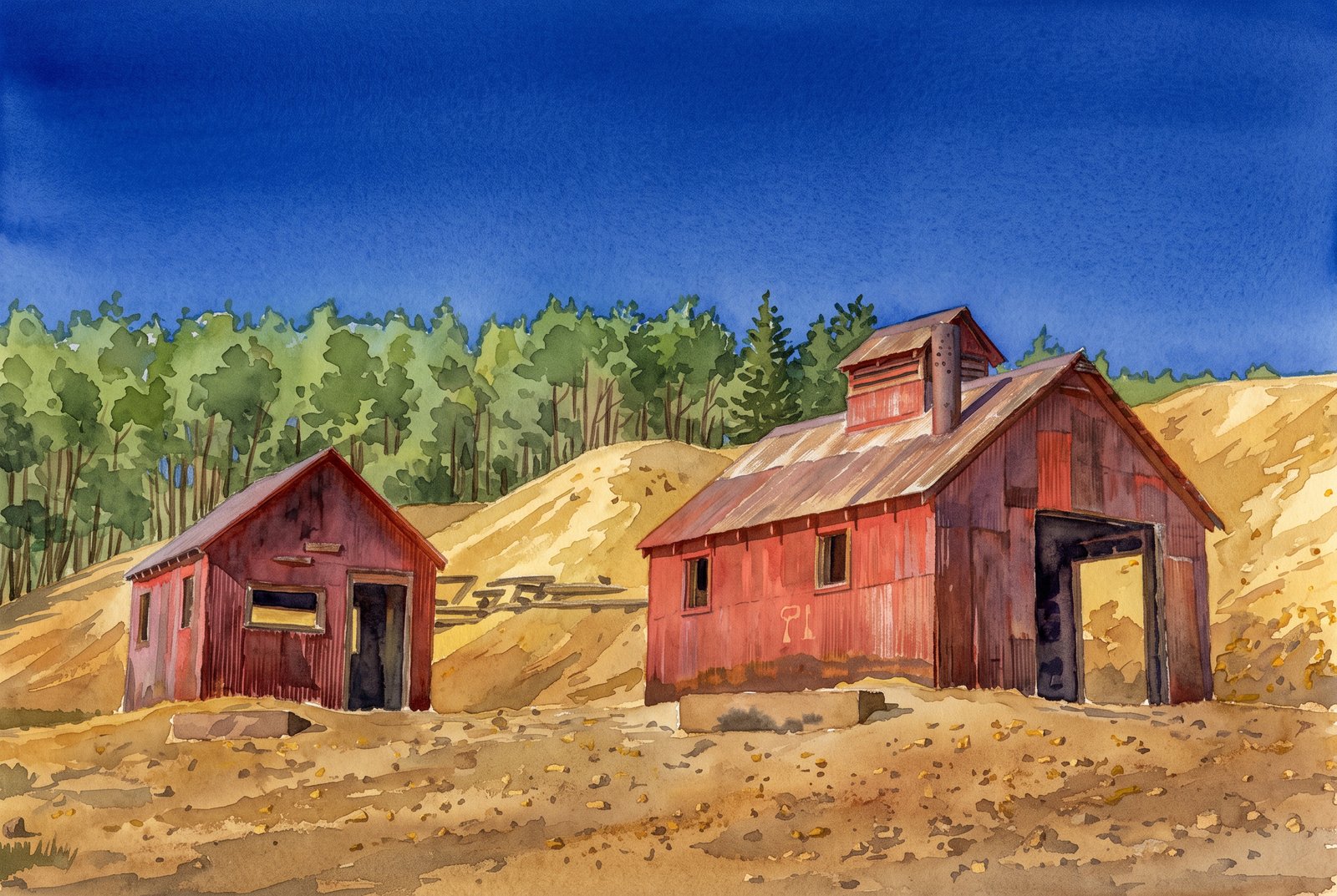 Watercolor
Cripple Creek Gold Mine Country
Weathered red corrugated metal buildings still stand among the tailings of the historic Cripple Creek mining district, on the west side of Pikes Peak in central Colorado. Two rusted mine houses sit against a golden slope of waste rock, framed by aspen under a deep blue high-altitude sky. Key Features: The Gold Rush: In 1890 Bob Womack found gold here, setting off Colorado's last and richest gold rush. The Landmark: The Cripple Creek Historic District is a National Historic Landmark District on the National Register of Historic Places, preserving its mining-era buildings. The Setting: Old headframes, mills and sheds remain scattered across the high hillsides of tailings near Pikes Peak. The Legacy: Gold is still mined in the district today.
Prints from $41Prints only